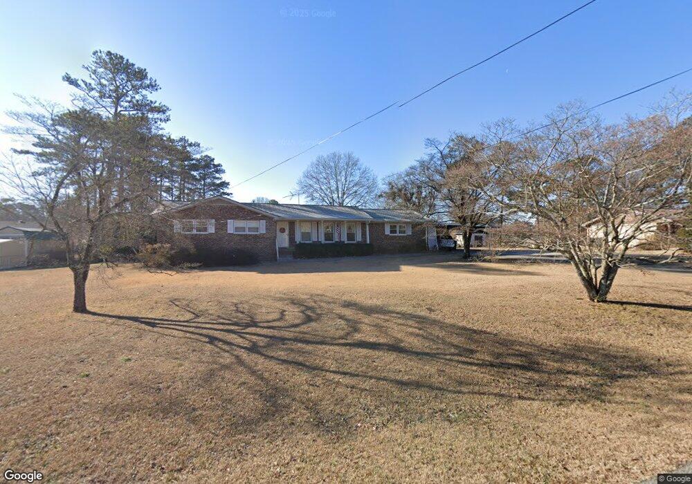
73 Bruce Ct Dallas, GA 30157
East Paulding County NeighborhoodEstimated Value: $263,000 - $308,250
3
Beds
2
Baths
2,006
Sq Ft
$145/Sq Ft
Est. Value
About This Home
This home is located at 73 Bruce Ct, Dallas, GA 30157 and is currently estimated at $291,813, approximately $145 per square foot. 73 Bruce Ct is a home located in Paulding County with nearby schools including C. A. Roberts Elementary School, East Paulding Middle School, and East Paulding High School.
Ownership History
Date
Name
Owned For
Owner Type
Purchase Details
Closed on
Sep 19, 1997
Sold by
Lee Frank S
Bought by
Richter George and Richter Blandina
Current Estimated Value
Home Financials for this Owner
Home Financials are based on the most recent Mortgage that was taken out on this home.
Original Mortgage
$55,000
Outstanding Balance
$8,516
Interest Rate
7.46%
Mortgage Type
New Conventional
Estimated Equity
$283,297
Create a Home Valuation Report for This Property
The Home Valuation Report is an in-depth analysis detailing your home's value as well as a comparison with similar homes in the area
Home Values in the Area
Average Home Value in this Area
Purchase History
| Date | Buyer | Sale Price | Title Company |
|---|---|---|---|
| Richter George | $107,500 | -- |
Source: Public Records
Mortgage History
| Date | Status | Borrower | Loan Amount |
|---|---|---|---|
| Open | Richter George | $55,000 |
Source: Public Records
Tax History Compared to Growth
Tax History
| Year | Tax Paid | Tax Assessment Tax Assessment Total Assessment is a certain percentage of the fair market value that is determined by local assessors to be the total taxable value of land and additions on the property. | Land | Improvement |
|---|---|---|---|---|
| 2024 | $770 | $115,496 | $12,000 | $103,496 |
| 2023 | $883 | $112,172 | $12,000 | $100,172 |
| 2022 | $723 | $90,924 | $12,000 | $78,924 |
| 2021 | $740 | $75,792 | $8,000 | $67,792 |
| 2020 | $740 | $71,592 | $8,000 | $63,592 |
| 2019 | $604 | $57,072 | $8,000 | $49,072 |
| 2018 | $633 | $60,304 | $8,000 | $52,304 |
| 2017 | $582 | $53,860 | $8,000 | $45,860 |
| 2016 | $414 | $40,448 | $8,000 | $32,448 |
| 2015 | $396 | $37,420 | $8,000 | $29,420 |
| 2014 | $396 | $35,464 | $8,000 | $27,464 |
| 2013 | -- | $27,720 | $8,000 | $19,720 |
Source: Public Records
Map
Nearby Homes
- Oconee Plan at Mount Tabor Pointe
- Tybee Plan at Mount Tabor Pointe
- Lanier Plan at Mount Tabor Pointe
- Juliette Plan at Mount Tabor Pointe
- Rabun Plan at Mount Tabor Pointe
- Davenport Plan at Mount Tabor Pointe
- 14 Minor Ct
- 199 Spring Forrest Ln
- 116 Gail St
- 132 Cantrell Dr
- 90 Cantrell Dr
- 82 Cantrell Dr
- 3 Cantrell Dr
- 677 Cantrell Dr
- 16 Cantrell Dr
- 601 Cantrell Dr
- 66 Cantrell Dr
- 10 Cantrell Dr
- 481 Cantrell Dr
- 378 Cantrell Dr