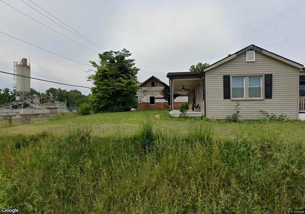
73 Camp St Bristol, VA 24201
Estimated Value: $313,012
--
Bed
--
Bath
2,608
Sq Ft
$120/Sq Ft
Est. Value
About This Home
This home is located at 73 Camp St, Bristol, VA 24201 and is currently estimated at $313,012, approximately $120 per square foot. 73 Camp St is a home located in Bristol City with nearby schools including Virginia High School, Brookside Academy, and MINNICK SCHOOL - BRISTOL.
Ownership History
Date
Name
Owned For
Owner Type
Purchase Details
Closed on
Dec 2, 2008
Sold by
Ron A Henard Trust
Bought by
Se Mar Inc
Current Estimated Value
Home Financials for this Owner
Home Financials are based on the most recent Mortgage that was taken out on this home.
Original Mortgage
$124,100
Outstanding Balance
$83,349
Interest Rate
6.47%
Mortgage Type
Commercial
Estimated Equity
$229,663
Purchase Details
Closed on
Apr 23, 2008
Sold by
Fortner David C and Fortner Mae
Bought by
Jordan John D and Jordan Ashley D
Home Financials for this Owner
Home Financials are based on the most recent Mortgage that was taken out on this home.
Original Mortgage
$74,300
Interest Rate
6.22%
Mortgage Type
New Conventional
Create a Home Valuation Report for This Property
The Home Valuation Report is an in-depth analysis detailing your home's value as well as a comparison with similar homes in the area
Home Values in the Area
Average Home Value in this Area
Purchase History
| Date | Buyer | Sale Price | Title Company |
|---|---|---|---|
| Se Mar Inc | $146,000 | -- | |
| Jordan John D | $74,300 | -- |
Source: Public Records
Mortgage History
| Date | Status | Borrower | Loan Amount |
|---|---|---|---|
| Open | Jordan John D | $124,100 | |
| Previous Owner | Jordan John D | $74,300 |
Source: Public Records
Tax History Compared to Growth
Tax History
| Year | Tax Paid | Tax Assessment Tax Assessment Total Assessment is a certain percentage of the fair market value that is determined by local assessors to be the total taxable value of land and additions on the property. | Land | Improvement |
|---|---|---|---|---|
| 2025 | $1,320 | $141,900 | $61,200 | $80,700 |
| 2024 | $1,422 | $127,000 | $51,700 | $75,300 |
| 2023 | $1,486 | $127,000 | $51,700 | $75,300 |
| 2022 | $1,422 | $127,000 | $51,700 | $75,300 |
| 2021 | $1,422 | $127,000 | $51,700 | $75,300 |
| 2020 | $1,486 | $127,000 | $51,700 | $75,300 |
| 2019 | $1,486 | $127,000 | $51,700 | $75,300 |
| 2018 | $743 | $127,000 | $51,700 | $75,300 |
| 2016 | -- | $129,500 | $0 | $0 |
| 2015 | -- | $0 | $0 | $0 |
| 2014 | -- | $0 | $0 | $0 |
Source: Public Records
Map
Nearby Homes
- 419 Washington St
- 433 Washington St
- 452 Buford St
- 504 Russell St
- 623 Fairview St
- 416 Moore St
- 600 Moore St
- 1180 W Mary St
- 708 Portsmouth Ave
- 509 State St Unit 3
- 216 Taylor St
- 707 Portsmouth Ave
- 919 Russell St
- 723 Portsmouth Ave
- 455 Westin Dr
- 529 Taylor St
- 1004 Maple St
- 1001 Vermont Ave
- 1000 Vermont Ave
- 1009 Massachusetts Ave