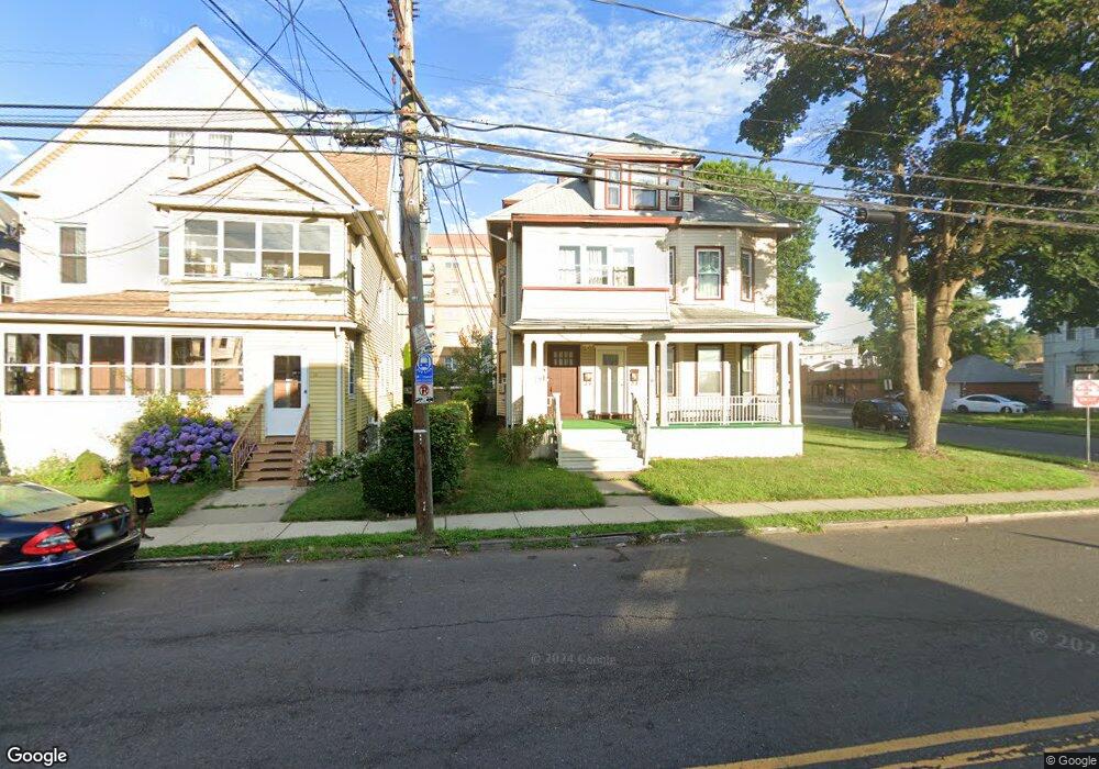
73 Campfield Ave Unit 75 Hartford, CT 06114
South End NeighborhoodEstimated Value: $407,000 - $504,886
4
Beds
2
Baths
3,120
Sq Ft
$149/Sq Ft
Est. Value
About This Home
This home is located at 73 Campfield Ave Unit 75, Hartford, CT 06114 and is currently estimated at $466,222, approximately $149 per square foot. 73 Campfield Ave Unit 75 is a home located in Hartford County with nearby schools including Asian Studies School At Dwight/Belizzi School, M. D. Fox School, and Dr. James H Naylor/Ccsu Leadership Academy.
Ownership History
Date
Name
Owned For
Owner Type
Purchase Details
Closed on
Oct 23, 1989
Sold by
Santos Alvaro A
Bought by
Wright Robert A
Current Estimated Value
Home Financials for this Owner
Home Financials are based on the most recent Mortgage that was taken out on this home.
Original Mortgage
$164,250
Interest Rate
10.06%
Create a Home Valuation Report for This Property
The Home Valuation Report is an in-depth analysis detailing your home's value as well as a comparison with similar homes in the area
Home Values in the Area
Average Home Value in this Area
Purchase History
| Date | Buyer | Sale Price | Title Company |
|---|---|---|---|
| Wright Robert A | $182,500 | -- |
Source: Public Records
Mortgage History
| Date | Status | Borrower | Loan Amount |
|---|---|---|---|
| Open | Wright Robert A | $179,780 | |
| Closed | Wright Robert A | $164,250 |
Source: Public Records
Tax History Compared to Growth
Tax History
| Year | Tax Paid | Tax Assessment Tax Assessment Total Assessment is a certain percentage of the fair market value that is determined by local assessors to be the total taxable value of land and additions on the property. | Land | Improvement |
|---|---|---|---|---|
| 2025 | $6,203 | $89,964 | $8,636 | $81,328 |
| 2024 | $6,203 | $89,964 | $8,636 | $81,328 |
| 2023 | $6,203 | $89,964 | $8,636 | $81,328 |
| 2022 | $6,203 | $89,964 | $8,636 | $81,328 |
| 2021 | $4,613 | $62,090 | $11,480 | $50,610 |
| 2020 | $4,613 | $62,090 | $11,480 | $50,610 |
| 2019 | $4,613 | $62,090 | $11,480 | $50,610 |
| 2018 | $4,457 | $59,997 | $11,093 | $48,904 |
| 2016 | $4,123 | $55,498 | $10,565 | $44,933 |
| 2015 | $3,927 | $52,862 | $10,063 | $42,799 |
| 2014 | $3,831 | $51,569 | $9,817 | $41,752 |
Source: Public Records
Map
Nearby Homes
- 152 Otis St
- 35 Clifford St
- 69 Mountford St Unit 3A
- 73 Mountford St Unit 3B
- 183 Preston St Unit 185
- 147 Preston St Unit 1
- 46 Harwich St
- 90 Harwich St Unit 92
- 159 Gilman St
- 49 Newbury St Unit 51
- 308 Brown St
- 405 W Preston St Unit 407
- 147 Newbury St Unit 149
- 213 Franklin Ave Unit 405
- 61 Preston St Unit 63
- 185 Grandview Terrace Unit 187
- 10 Warner St
- 218 Grandview Terrace Unit 220
- 26 Barker St Unit 28
- 17 Bond St
- 77 Campfield Ave Unit 79
- 69 Campfield Ave Unit 71
- 83 Campfield Ave Unit 85
- 80 Campfield Ave Unit 82
- 74 Campfield Ave Unit 76
- 229 Adelaide St Unit 231
- 70 Campfield Ave Unit 72
- 87 Campfield Ave Unit 89
- 63 Campfield Ave Unit 65
- 57 Campfield Ave Unit 59
- 86 Campfield Ave
- 56 Campfield Ave Unit 58
- 700 Maple Ave Unit 509
- 700 Maple Ave Unit 508
- 700 Maple Ave Unit 507
- 700 Maple Ave Unit 506
- 700 Maple Ave Unit 505
- 700 Maple Ave Unit 504
- 700 Maple Ave Unit 503
- 700 Maple Ave Unit 502