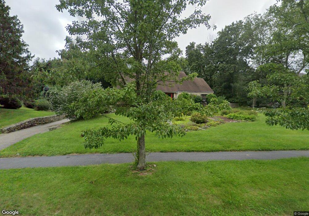
73 Cobleigh Rd Boxborough, MA 01719
Estimated Value: $997,251 - $1,115,000
4
Beds
2
Baths
3,415
Sq Ft
$311/Sq Ft
Est. Value
About This Home
This home is located at 73 Cobleigh Rd, Boxborough, MA 01719 and is currently estimated at $1,061,563, approximately $310 per square foot. 73 Cobleigh Rd is a home located in Middlesex County with nearby schools including Acton-Boxborough Regional High School.
Ownership History
Date
Name
Owned For
Owner Type
Purchase Details
Closed on
Jun 26, 2023
Sold by
Salzman Harold and Salzman Barbara
Bought by
Srt T T and Srt Salzman
Current Estimated Value
Purchase Details
Closed on
Jun 7, 2010
Sold by
Lessard Philip A and Lessard Beverly E
Bought by
Salzman Harold and Salzman Barbara G
Home Financials for this Owner
Home Financials are based on the most recent Mortgage that was taken out on this home.
Original Mortgage
$300,000
Interest Rate
5.12%
Mortgage Type
Purchase Money Mortgage
Create a Home Valuation Report for This Property
The Home Valuation Report is an in-depth analysis detailing your home's value as well as a comparison with similar homes in the area
Home Values in the Area
Average Home Value in this Area
Purchase History
| Date | Buyer | Sale Price | Title Company |
|---|---|---|---|
| Srt T T | -- | None Available | |
| Salzman Harold | $505,000 | -- |
Source: Public Records
Mortgage History
| Date | Status | Borrower | Loan Amount |
|---|---|---|---|
| Previous Owner | Salzman Harold | $300,000 |
Source: Public Records
Tax History Compared to Growth
Tax History
| Year | Tax Paid | Tax Assessment Tax Assessment Total Assessment is a certain percentage of the fair market value that is determined by local assessors to be the total taxable value of land and additions on the property. | Land | Improvement |
|---|---|---|---|---|
| 2025 | $12,419 | $820,300 | $319,100 | $501,200 |
| 2024 | $11,838 | $789,700 | $307,100 | $482,600 |
| 2023 | $10,642 | $685,700 | $265,200 | $420,500 |
| 2022 | $10,424 | $598,400 | $265,200 | $333,200 |
| 2020 | $9,273 | $554,600 | $265,200 | $289,400 |
| 2019 | $5,403 | $554,600 | $265,200 | $289,400 |
| 2018 | $3,570 | $540,000 | $253,200 | $286,800 |
| 2017 | $8,812 | $524,200 | $253,200 | $271,000 |
| 2016 | $8,620 | $526,900 | $253,200 | $273,700 |
| 2015 | $8,365 | $502,400 | $223,500 | $278,900 |
| 2014 | $8,889 | $502,500 | $219,100 | $283,400 |
Source: Public Records
Map
Nearby Homes
- 777 Depot Rd
- 96 Cedarwood Rd
- 139 Picnic St
- 1155 Burroughs Rd
- 134 Russet Ln
- 68 Macintosh Ln
- 89 School House Ln
- 62 Waite Rd
- 30 Paul Revere Rd
- 58 Spencer Rd Unit 18K
- 50 Spencer Rd Unit 36
- 53 Swanson Ct Unit 36C
- 42 Swanson Ct Unit 14A
- 63 Leonard Rd Unit 63
- 220 Swanson Rd Unit 605
- 220 Swanson Rd Unit 606
- 12 Olde Lantern Rd
- 176 Swanson Rd Unit 309
- 5 Elm St Unit 1
- 9 Elm St Unit 1