73 Codding Ln Vineyard Haven, MA 02568
Vineyard Haven NeighborhoodEstimated Value: $1,983,390 - $2,746,000
4
Beds
4
Baths
3,500
Sq Ft
$636/Sq Ft
Est. Value
About This Home
This home is located at 73 Codding Ln, Vineyard Haven, MA 02568 and is currently estimated at $2,225,848, approximately $635 per square foot. 73 Codding Ln is a home located in Dukes County with nearby schools including Tisbury Elementary School, Martha's Vineyard Regional High School, and Martha's Vineyard Charter School.
Ownership History
Date
Name
Owned For
Owner Type
Purchase Details
Closed on
Aug 15, 1990
Bought by
Willey David D and Roddy Jacqueline
Current Estimated Value
Create a Home Valuation Report for This Property
The Home Valuation Report is an in-depth analysis detailing your home's value as well as a comparison with similar homes in the area
Home Values in the Area
Average Home Value in this Area
Purchase History
| Date | Buyer | Sale Price | Title Company |
|---|---|---|---|
| Willey David D | -- | -- |
Source: Public Records
Mortgage History
| Date | Status | Borrower | Loan Amount |
|---|---|---|---|
| Open | Willey David D | $150,000 | |
| Closed | Willey David D | $25,000 | |
| Closed | Willey David D | $150,000 |
Source: Public Records
Tax History
| Year | Tax Paid | Tax Assessment Tax Assessment Total Assessment is a certain percentage of the fair market value that is determined by local assessors to be the total taxable value of land and additions on the property. | Land | Improvement |
|---|---|---|---|---|
| 2025 | $12,911 | $1,705,500 | $490,400 | $1,215,100 |
| 2024 | $12,661 | $1,586,600 | $426,300 | $1,160,300 |
| 2023 | $9,192 | $1,255,700 | $406,100 | $849,600 |
| 2022 | $8,394 | $964,800 | $255,600 | $709,200 |
| 2021 | $7,883 | $859,600 | $255,600 | $604,000 |
| 2020 | $7,149 | $766,200 | $232,400 | $533,800 |
| 2019 | $7,026 | $766,200 | $232,400 | $533,800 |
| 2018 | $6,342 | $671,100 | $232,100 | $439,000 |
| 2017 | $6,017 | $660,500 | $232,000 | $428,500 |
| 2016 | $5,467 | $596,800 | $220,900 | $375,900 |
| 2015 | $6,010 | $673,800 | $245,500 | $428,300 |
Source: Public Records
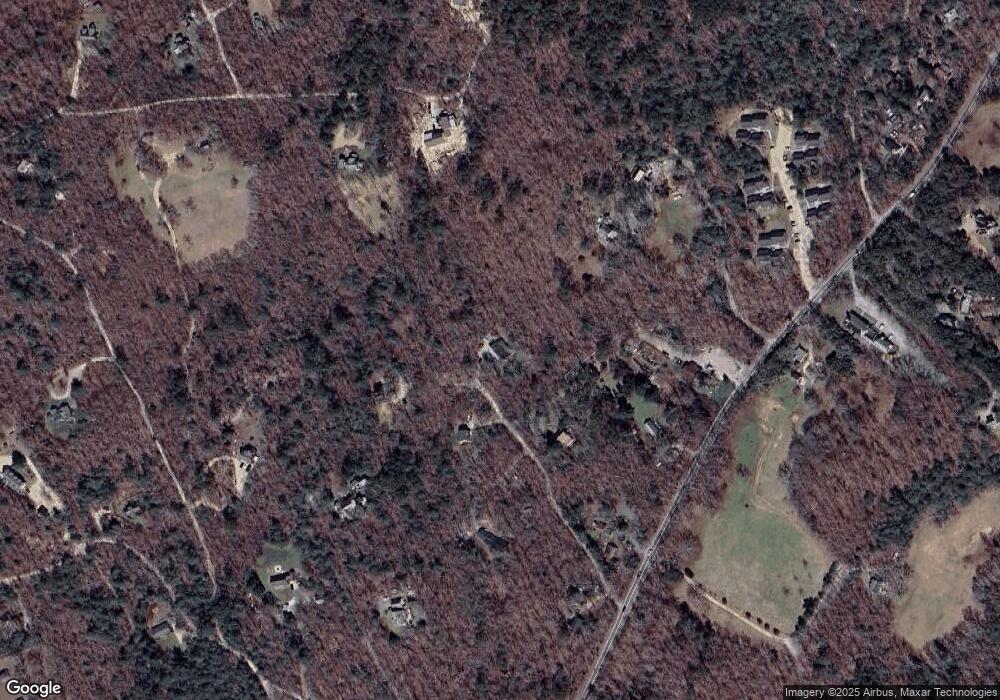
Map
Nearby Homes
- 53 Stoney Hill Rd
- 4 Rock Pond Rd
- 157 Ben Chase Rd
- 56 Holmes Hole Rd Unit 10
- 56 Holmes Hole Rd
- 50 Lantern Ln
- 51 Lantern Ln
- 71 Stoney Hill Rd
- 20 Brook Hollow Rd
- 378 State Rd
- 55 Old House Way
- 15 Goah Way
- 52 Carrolls Way
- 12 Wheelhouse Way
- 22 Oklahoma Ave
- 12 Park Ave
- 5A2.12 State Rd
- 344 Greenwood Ave
- 140 Midland Ave
- 35 Mount Aldworth Rd
- 66 Codding Ln
- 45 Codding Ln
- 74 Codding Ln
- 969 State Rd
- 1001 State Rd
- 200 Red Coat Hill Rd
- 977 State Rd
- 15 Vandrow Ln
- 1037 State Rd
- 46 Codding Ln
- 180 Red Coat Hill Rd
- Lot 2 Red Coat Hill Rd
- 2 Red Coat Hill Rd
- 00 Red Coat Hill Rd
- 127 Red Coat Hill Rd
- 3 State Rd
- 85 Shubael Weeks Rd
- 7 Vandrow Ln
- 1056 State Rd
- 00 State Rd
Your Personal Tour Guide
Ask me questions while you tour the home.