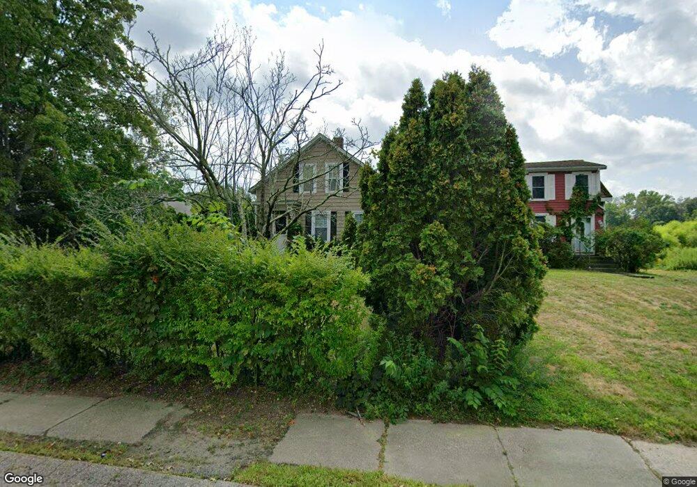
73 Commonwealth Ave Attleboro Falls, MA 02763
North Attleboro NeighborhoodEstimated Value: $406,000 - $474,000
3
Beds
1
Bath
1,302
Sq Ft
$331/Sq Ft
Est. Value
About This Home
This home is located at 73 Commonwealth Ave, Attleboro Falls, MA 02763 and is currently estimated at $431,586, approximately $331 per square foot. 73 Commonwealth Ave is a home located in Bristol County with nearby schools including North Attleboro High School, St John The Evangelist School, and Bishop Feehan High School.
Ownership History
Date
Name
Owned For
Owner Type
Purchase Details
Closed on
Sep 23, 2015
Sold by
Panhandle Eastern Pipe
Bought by
Liberty Utilities Corp
Current Estimated Value
Purchase Details
Closed on
Feb 6, 2014
Sold by
Southern Union Co
Bought by
Liberty Utilities Corp
Purchase Details
Closed on
Dec 23, 2013
Sold by
Southern Union Com
Bought by
Liberty Utilities Corp
Purchase Details
Closed on
Mar 29, 2012
Sold by
Schofield Thomas C and Schofield Elizabeth
Bought by
New England Gas Co
Purchase Details
Closed on
Dec 28, 1988
Sold by
Cotter Walter L
Bought by
Schoffied Thomas C
Home Financials for this Owner
Home Financials are based on the most recent Mortgage that was taken out on this home.
Original Mortgage
$100,800
Interest Rate
10.26%
Mortgage Type
Purchase Money Mortgage
Create a Home Valuation Report for This Property
The Home Valuation Report is an in-depth analysis detailing your home's value as well as a comparison with similar homes in the area
Home Values in the Area
Average Home Value in this Area
Purchase History
| Date | Buyer | Sale Price | Title Company |
|---|---|---|---|
| Liberty Utilities Corp | $2,076,300 | -- | |
| Liberty Utilities Corp | $2,076,300 | -- | |
| Liberty Utilities Corp | -- | -- | |
| New England Gas Co | $340,000 | -- | |
| Schoffied Thomas C | $126,000 | -- |
Source: Public Records
Mortgage History
| Date | Status | Borrower | Loan Amount |
|---|---|---|---|
| Previous Owner | Schoffied Thomas C | $102,000 | |
| Previous Owner | Schoffied Thomas C | $98,000 | |
| Previous Owner | Schoffied Thomas C | $100,800 |
Source: Public Records
Tax History Compared to Growth
Tax History
| Year | Tax Paid | Tax Assessment Tax Assessment Total Assessment is a certain percentage of the fair market value that is determined by local assessors to be the total taxable value of land and additions on the property. | Land | Improvement |
|---|---|---|---|---|
| 2025 | $4,030 | $341,800 | $110,900 | $230,900 |
| 2024 | $3,850 | $333,600 | $110,900 | $222,700 |
| 2023 | $3,843 | $300,500 | $110,900 | $189,600 |
| 2022 | $3,764 | $270,200 | $105,400 | $164,800 |
| 2021 | $1,616 | $266,700 | $110,900 | $155,800 |
| 2020 | $3,774 | $263,000 | $110,900 | $152,100 |
| 2019 | $3,443 | $241,800 | $95,800 | $146,000 |
| 2018 | $1,805 | $229,400 | $95,800 | $133,600 |
| 2017 | $2,040 | $212,100 | $90,800 | $121,300 |
| 2016 | $2,659 | $201,100 | $100,800 | $100,300 |
| 2015 | $2,553 | $194,300 | $106,400 | $87,900 |
| 2014 | $2,647 | $199,900 | $103,300 | $96,600 |
Source: Public Records
Map
Nearby Homes
- 417 Mount Hope St
- 24 S Bulfinch St Unit 202
- 49 Jackson St
- 29 Lyman St
- 158 Ivy St
- 304 Elm St
- 258 Chestnut St
- 34 Poppasquash Rd
- 1 Diamond St
- 251 Mount Hope St
- 30 Juniper Rd Unit 37
- 47 Juniper Rd Unit F9
- 711 Mount Hope St Unit 7
- 711 Mount Hope St Unit 6
- 711 Mount Hope St Unit 8
- 711 Mount Hope St Unit 5
- 711 Mount Hope St Unit 12
- 711 Mount Hope St Unit 9
- 711 Mount Hope St Unit 11
- 711 Mount Hope St Unit 10
- 71 Commonwealth Ave
- 77 Commonwealth Ave
- 63 Commonwealth Ave
- 83 Commonwealth Ave
- 87 Commonwealth Ave
- 70 Commonwealth Ave
- 68 Commonwealth Ave
- 93 Commonwealth Ave Unit 3
- 93 Commonwealth Ave Unit 4
- 93 Commonwealth Ave Unit 1
- 93 Commonwealth Ave
- 8 Stack Rd
- 103 Commonwealth Ave
- 5 Jackson St Unit D
- 5 Jackson St Unit C
- 5 Jackson St
- 5 Jackson St Unit A
- 42 Commonwealth Ave
- 555 Elm St Unit 2
- 42 Commonwealth Ave Unit 1