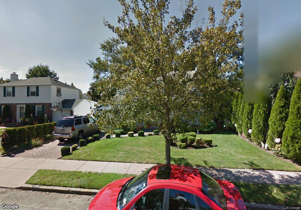
73 Crest Rd W Merrick, NY 11566
Estimated Value: $797,746 - $824,000
4
Beds
2
Baths
1,812
Sq Ft
$448/Sq Ft
Est. Value
About This Home
This home is located at 73 Crest Rd W, Merrick, NY 11566 and is currently estimated at $810,873, approximately $447 per square foot. 73 Crest Rd W is a home located in Nassau County with nearby schools including Grand Avenue Middle School, Wellington C Mepham High School, and Sacred Heart School.
Ownership History
Date
Name
Owned For
Owner Type
Purchase Details
Closed on
Nov 1, 2017
Sold by
Santos Richard J and Santos Diane M
Bought by
Buffolino Martino
Current Estimated Value
Home Financials for this Owner
Home Financials are based on the most recent Mortgage that was taken out on this home.
Original Mortgage
$433,500
Outstanding Balance
$363,252
Interest Rate
3.85%
Mortgage Type
New Conventional
Estimated Equity
$447,621
Create a Home Valuation Report for This Property
The Home Valuation Report is an in-depth analysis detailing your home's value as well as a comparison with similar homes in the area
Home Values in the Area
Average Home Value in this Area
Purchase History
| Date | Buyer | Sale Price | Title Company |
|---|---|---|---|
| Buffolino Martino | $510,000 | -- |
Source: Public Records
Mortgage History
| Date | Status | Borrower | Loan Amount |
|---|---|---|---|
| Open | Buffolino Martino | $433,500 |
Source: Public Records
Tax History
| Year | Tax Paid | Tax Assessment Tax Assessment Total Assessment is a certain percentage of the fair market value that is determined by local assessors to be the total taxable value of land and additions on the property. | Land | Improvement |
|---|---|---|---|---|
| 2025 | $14,541 | $498 | $159 | $339 |
| 2024 | $3,661 | $509 | $163 | $346 |
Source: Public Records
Map
Nearby Homes
- 840 Jerusalem Ave
- 1974 Monroe Ave
- 20 Iris Ave
- 2046 Hancock Ave
- 25 Old Mill Rd
- 37 Orchard St
- 2360 Hamilton Rd
- 116 Winifred Dr
- 526 Park Ave
- 1026 Barbara Ct
- 1543 William St
- 1346 Bellmore Ave
- 614 Bond Ct
- 922 Leeds Dr
- 1425 Jerusalem Ave Unit 7
- 1817 Gardenia Ave
- 1762 Esposito Ct
- 2001 N Jerusalem Rd
- 204 Maeder Ave
- 1399 Bellmore Ave
Your Personal Tour Guide
Ask me questions while you tour the home.