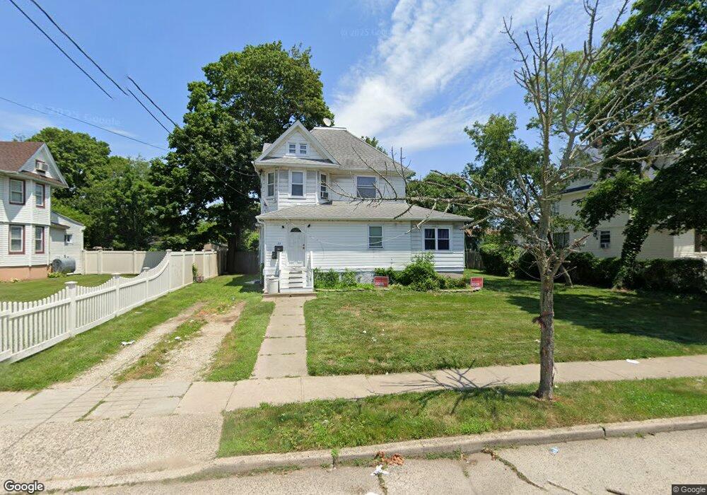
73 East Ave Freeport, NY 11520
Estimated Value: $723,000 - $736,986
--
Bed
2
Baths
2,268
Sq Ft
$322/Sq Ft
Est. Value
About This Home
This home is located at 73 East Ave, Freeport, NY 11520 and is currently estimated at $729,993, approximately $321 per square foot. 73 East Ave is a home located in Nassau County with nearby schools including Columbus Avenue School, Caroline G. Atkinson Intermediate School, and John W Dodd Middle School.
Ownership History
Date
Name
Owned For
Owner Type
Purchase Details
Closed on
Aug 29, 2012
Sold by
Webb Lenrick H
Bought by
Webb Lenrick H and Davis Joycelyn
Current Estimated Value
Purchase Details
Closed on
Jun 1, 2007
Sold by
Patel Shobhana
Bought by
Webb Lenrick
Purchase Details
Closed on
Dec 30, 1997
Sold by
Gollub Eugene and Gollub Alice
Bought by
Patel Shobhana
Purchase Details
Closed on
May 31, 1995
Sold by
Gollub Alice
Bought by
Eugene A And Alice P Gollub Fa Mily Trust
Create a Home Valuation Report for This Property
The Home Valuation Report is an in-depth analysis detailing your home's value as well as a comparison with similar homes in the area
Home Values in the Area
Average Home Value in this Area
Purchase History
| Date | Buyer | Sale Price | Title Company |
|---|---|---|---|
| Webb Lenrick H | -- | -- | |
| Webb Lenrick H | -- | -- | |
| Webb Lenrick | $461,100 | -- | |
| Webb Lenrick | $461,100 | -- | |
| Patel Shobhana | $155,000 | -- | |
| Patel Shobhana | $155,000 | -- | |
| Eugene A And Alice P Gollub Fa Mily Trust | -- | -- | |
| Eugene A And Alice P Gollub Fa Mily Trust | -- | -- |
Source: Public Records
Tax History Compared to Growth
Tax History
| Year | Tax Paid | Tax Assessment Tax Assessment Total Assessment is a certain percentage of the fair market value that is determined by local assessors to be the total taxable value of land and additions on the property. | Land | Improvement |
|---|---|---|---|---|
| 2025 | $10,134 | $470 | $215 | $255 |
| 2024 | $988 | $454 | $208 | $246 |
| 2023 | $9,781 | $470 | $215 | $255 |
| 2022 | $9,781 | $470 | $215 | $255 |
| 2021 | $14,091 | $450 | $206 | $244 |
| 2020 | $9,362 | $573 | $448 | $125 |
| 2019 | $8,432 | $593 | $464 | $129 |
| 2018 | $8,587 | $593 | $0 | $0 |
| 2017 | $9,628 | $800 | $464 | $336 |
| 2016 | $10,828 | $800 | $464 | $336 |
| 2015 | $1,156 | $800 | $464 | $336 |
| 2014 | $1,156 | $800 | $464 | $336 |
| 2013 | $1,092 | $800 | $464 | $336 |
Source: Public Records
Map
Nearby Homes
- 61 East Ave
- 47 East Ave
- 5 Sportsmans Ave
- 18 Halsey St
- 175 Archer St Unit 1C
- 175 Archer St Unit 3A
- 280 Guy Lombardo Ave Unit 5G
- 159 Southside Ave
- 158 Church St
- 137 Smith St Unit A4
- 149 Smith St Unit e-22
- 145 Smith St Unit D4
- 153 Smith St Unit F22
- 60 Bedell St
- 55 Southside Ave
- 124 Smith St Unit 3G
- 124 Smith St Unit 1B
- 124 Smith St Unit 3B
- 51 Atlantic Ave
- 194 Smith St Unit 1B