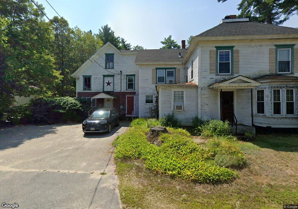
73 Federal Rd Parsonsfield, ME 04047
Estimated Value: $264,000 - $340,532
--
Bed
--
Bath
820
Sq Ft
$384/Sq Ft
Est. Value
About This Home
This home is located at 73 Federal Rd, Parsonsfield, ME 04047 and is currently estimated at $314,883, approximately $384 per square foot. 73 Federal Rd is a home.
Ownership History
Date
Name
Owned For
Owner Type
Purchase Details
Closed on
Sep 29, 2005
Sold by
Worthing Kristin E and Worthing Gary T
Bought by
Ouellette Dianna M and Ouellette Timothy
Current Estimated Value
Home Financials for this Owner
Home Financials are based on the most recent Mortgage that was taken out on this home.
Original Mortgage
$111,600
Outstanding Balance
$60,268
Interest Rate
6%
Mortgage Type
Commercial
Estimated Equity
$254,615
Create a Home Valuation Report for This Property
The Home Valuation Report is an in-depth analysis detailing your home's value as well as a comparison with similar homes in the area
Home Values in the Area
Average Home Value in this Area
Purchase History
| Date | Buyer | Sale Price | Title Company |
|---|---|---|---|
| Ouellette Dianna M | -- | -- |
Source: Public Records
Mortgage History
| Date | Status | Borrower | Loan Amount |
|---|---|---|---|
| Open | Ouellette Dianna M | $111,600 |
Source: Public Records
Tax History Compared to Growth
Tax History
| Year | Tax Paid | Tax Assessment Tax Assessment Total Assessment is a certain percentage of the fair market value that is determined by local assessors to be the total taxable value of land and additions on the property. | Land | Improvement |
|---|---|---|---|---|
| 2024 | $2,677 | $159,353 | $44,950 | $114,403 |
| 2023 | $2,582 | $159,353 | $44,950 | $114,403 |
| 2022 | $2,470 | $159,353 | $44,950 | $114,403 |
| 2021 | $2,462 | $159,353 | $44,950 | $114,403 |
| 2020 | $2,414 | $159,353 | $44,950 | $114,403 |
| 2019 | $2,374 | $159,353 | $44,950 | $114,403 |
| 2017 | $2,369 | $158,995 | $44,950 | $114,045 |
| 2016 | $2,369 | $158,995 | $44,950 | $114,045 |
| 2015 | $2,385 | $158,995 | $44,950 | $114,045 |
| 2013 | $2,321 | $158,995 | $44,950 | $114,045 |
Source: Public Records
Map
Nearby Homes
- 12 Main St
- 32 Summer St
- 35 Pine St
- 122 Ossipee Trail
- 266 S Hiram Rd
- 248 Spec Pond Rd
- 206 Gilman Rd
- 272 Tripptown Rd
- R3-32 Ossipee Trail
- 761 Pendexter Rd
- 696 S Hiram Rd
- 42AC Ben Gilpatrick Rd
- 00 Brownfield Rd
- 96 Maple St
- 62 Eastman Hill Rd
- 839 Brownfield Rd
- Lot #8 Jordan Heights Rd
- Lot #2 Jordan Heights Rd
- Lot #3 Jordan Heights Rd
- 20 Main St