Estimated Value: $204,000 - $243,000
3
Beds
1
Bath
1,107
Sq Ft
$204/Sq Ft
Est. Value
About This Home
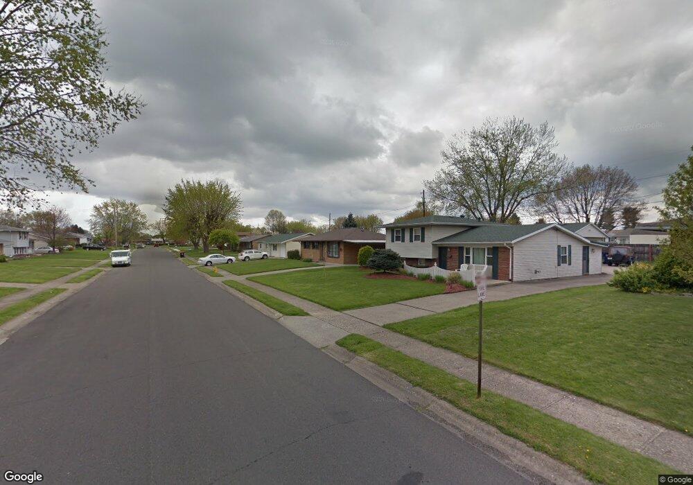
This home is located at 73 Fieldpoint Rd, Heath, OH 43056 and is currently estimated at $226,367, approximately $204 per square foot. 73 Fieldpoint Rd is a home located in Licking County with nearby schools including Garfield Elementary School, Stevenson Elementary School, and Heath Middle School.
Ownership History
Date
Name
Owned For
Owner Type
Purchase Details
Closed on
Oct 24, 2013
Sold by
Lane Dorothy J and Borders Brenda S
Bought by
Piatt Terry L and Lane Piatt Joyce A
Current Estimated Value
Home Financials for this Owner
Home Financials are based on the most recent Mortgage that was taken out on this home.
Original Mortgage
$76,500
Interest Rate
4.59%
Mortgage Type
New Conventional
Purchase Details
Closed on
Jul 3, 2013
Sold by
Lane Dorothy J
Bought by
Lane Dorothy J and Borders Brenda S
Create a Home Valuation Report for This Property
The Home Valuation Report is an in-depth analysis detailing your home's value as well as a comparison with similar homes in the area
Home Values in the Area
Average Home Value in this Area
Purchase History
| Date | Buyer | Sale Price | Title Company |
|---|---|---|---|
| Piatt Terry L | -- | Ambassador Title Mail | |
| Lane Dorothy J | -- | None Available |
Source: Public Records
Mortgage History
| Date | Status | Borrower | Loan Amount |
|---|---|---|---|
| Closed | Piatt Terry L | $76,500 |
Source: Public Records
Tax History
| Year | Tax Paid | Tax Assessment Tax Assessment Total Assessment is a certain percentage of the fair market value that is determined by local assessors to be the total taxable value of land and additions on the property. | Land | Improvement |
|---|---|---|---|---|
| 2024 | $2,699 | $62,730 | $17,400 | $45,330 |
| 2023 | $2,987 | $62,730 | $17,400 | $45,330 |
| 2022 | $2,620 | $48,340 | $9,030 | $39,310 |
| 2021 | $2,674 | $48,340 | $9,030 | $39,310 |
| 2020 | $2,691 | $48,340 | $9,030 | $39,310 |
| 2019 | $2,209 | $40,390 | $11,270 | $29,120 |
| 2018 | $2,233 | $0 | $0 | $0 |
| 2017 | $1,867 | $0 | $0 | $0 |
| 2016 | $1,477 | $0 | $0 | $0 |
| 2015 | $1,502 | $0 | $0 | $0 |
| 2014 | $2,111 | $0 | $0 | $0 |
| 2013 | $1,422 | $0 | $0 | $0 |
Source: Public Records
Map
Nearby Homes
- 514 S 30th St
- 101 Fieldpoint Rd
- 18 Swainford Dr
- 224 Walden Rd
- 231 Fieldpoint Rd
- 780 Fieldson Dr
- 1223 W Main St
- 915 W Main St
- 944 Fieldson Dr
- 67 N 31st St
- 645 Kensington Dr Unit 645
- 164 Licking View Dr
- 452 Saint James Gate
- 233 Wildwood Ct Unit 233C
- 172 S Williams St
- 132 Cambria St
- 590 Seneca Dr
- 616 Huron Dr
- 139 N 26th St
- 69 N Terrace Ave
- 75 Fieldpoint Rd
- 71 Fieldpoint Rd
- 534 Kappler Rd
- 528 Kappler Rd
- 69 Fieldpoint Rd
- 77 Fieldpoint Rd
- 540 Kappler Rd
- 522 Kappler Rd
- 78 Fieldpoint Rd
- 76 Fieldpoint Rd
- 546 Kappler Rd
- 80 Fieldpoint Rd
- 79 Fieldpoint Rd
- 74 Fieldpoint Rd
- 82 Fieldpoint Rd
- 516 Kappler Rd
- 554 Kappler Rd
- 72 Fieldpoint Rd
- 65 Fieldpoint Rd
- 84 Fieldpoint Rd
Your Personal Tour Guide
Ask me questions while you tour the home.