73 Great Brook Path Carlisle, MA 01741
Estimated Value: $1,509,000 - $2,204,000
4
Beds
5
Baths
4,725
Sq Ft
$409/Sq Ft
Est. Value
About This Home
This home is located at 73 Great Brook Path, Carlisle, MA 01741 and is currently estimated at $1,934,197, approximately $409 per square foot. 73 Great Brook Path is a home located in Middlesex County with nearby schools including Carlisle School.
Ownership History
Date
Name
Owned For
Owner Type
Purchase Details
Closed on
Jun 23, 2005
Sold by
Carrob Enterprises Inc
Bought by
Lombardi Charles and Lombardi Lois Lonczak
Current Estimated Value
Home Financials for this Owner
Home Financials are based on the most recent Mortgage that was taken out on this home.
Original Mortgage
$800,000
Outstanding Balance
$419,260
Interest Rate
5.82%
Mortgage Type
Purchase Money Mortgage
Estimated Equity
$1,514,937
Purchase Details
Closed on
Mar 26, 2004
Sold by
Great Brook Rt and Gould Albert Ira
Bought by
Carrob Ent Inc
Home Financials for this Owner
Home Financials are based on the most recent Mortgage that was taken out on this home.
Original Mortgage
$1,015,000
Interest Rate
5.65%
Mortgage Type
Purchase Money Mortgage
Create a Home Valuation Report for This Property
The Home Valuation Report is an in-depth analysis detailing your home's value as well as a comparison with similar homes in the area
Home Values in the Area
Average Home Value in this Area
Purchase History
| Date | Buyer | Sale Price | Title Company |
|---|---|---|---|
| Lombardi Charles | $1,586,464 | -- | |
| Carrob Ent Inc | $500,000 | -- |
Source: Public Records
Mortgage History
| Date | Status | Borrower | Loan Amount |
|---|---|---|---|
| Open | Lombardi Charles | $800,000 | |
| Previous Owner | Carrob Ent Inc | $1,015,000 |
Source: Public Records
Tax History Compared to Growth
Tax History
| Year | Tax Paid | Tax Assessment Tax Assessment Total Assessment is a certain percentage of the fair market value that is determined by local assessors to be the total taxable value of land and additions on the property. | Land | Improvement |
|---|---|---|---|---|
| 2025 | $24,337 | $1,846,500 | $588,100 | $1,258,400 |
| 2024 | $23,865 | $1,790,300 | $544,500 | $1,245,800 |
| 2023 | $23,275 | $1,644,900 | $500,900 | $1,144,000 |
| 2022 | $25,012 | $1,515,900 | $479,200 | $1,036,700 |
| 2021 | $24,679 | $1,515,900 | $479,200 | $1,036,700 |
| 2020 | $26,637 | $1,450,800 | $392,000 | $1,058,800 |
| 2019 | $26,001 | $1,421,600 | $392,000 | $1,029,600 |
| 2018 | $25,830 | $1,421,600 | $392,000 | $1,029,600 |
| 2017 | $24,744 | $1,404,300 | $392,000 | $1,012,300 |
| 2016 | $24,154 | $1,404,300 | $392,000 | $1,012,300 |
| 2015 | $24,221 | $1,274,800 | $392,000 | $882,800 |
| 2014 | $23,762 | $1,274,800 | $392,000 | $882,800 |
Source: Public Records
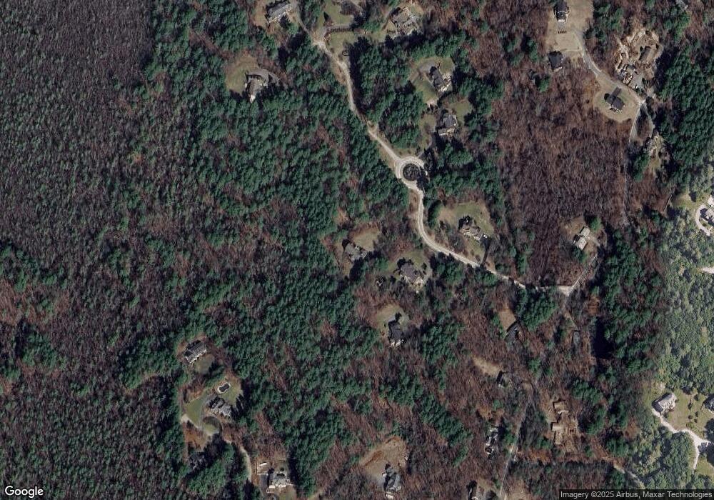
Map
Nearby Homes
- 3 Kay's Walk
- 15 Kay's Walk
- 1 Kay's Walk Unit 1
- 1 Kay's Walk
- 13 Kay's Walk
- 15 Kay's Walk Unit 4
- 3 Kay's Walk Unit 3
- 8 Kay's Walk Unit 13
- 14 Kay's Walk
- 6 Kay's Walk Unit 6
- 6 Kay's Walk
- 2 Kay's Walk Unit 18
- 4 Kay's Walk Unit 15
- 225 Lowell St
- 383 E Riding Dr
- 373 E Riding Dr
- 282 Brook St
- 13 Westgate Rd
- 11 Simonds Farm Rd
- 4 Dove Ln
- 51 Great Brook Path
- 1 Great Brook Path
- 35 Great Brook Path
- 40 Great Brook Path
- 96 Great Brook Path
- 181 Rutland St
- 124 Aberdeen Dr
- 14 Tanglewood Way
- 31 Tanglewood Way
- 161 Rutland St
- 102 Aberdeen Dr
- 223 Rutland St
- 139 Rutland St
- 40 Aberdeen Dr
- 48 Tanglewood Way
- 186 Rutland St
- 80 Aberdeen Dr
- 101 Arrowhead Ln
- 64 Tanglewood Way
- 109 Aberdeen Dr