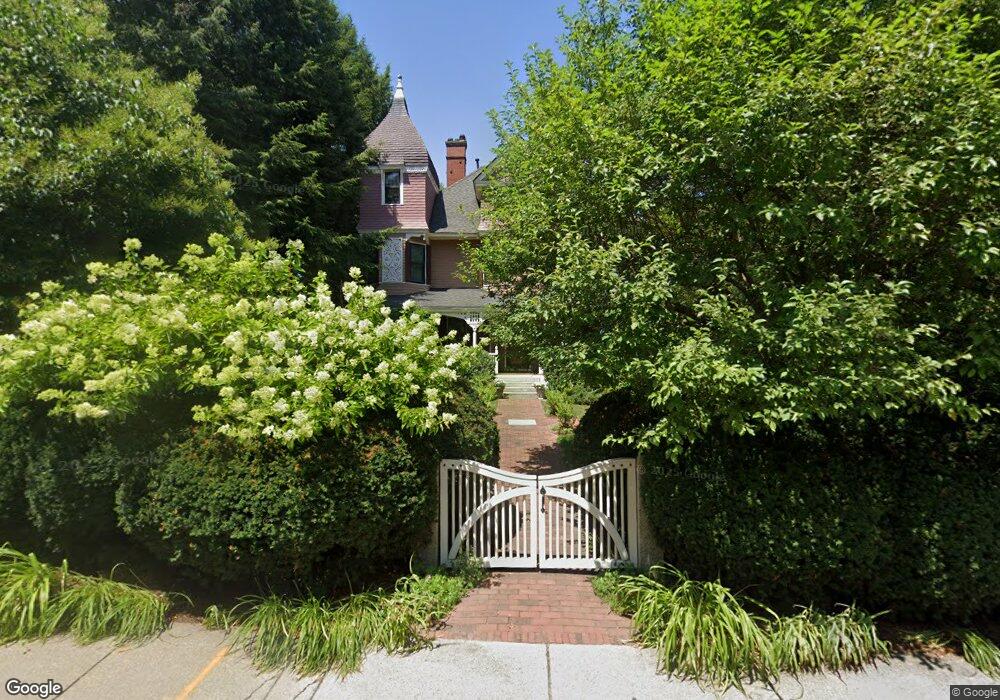
73 Grove St Auburndale, MA 02466
Auburndale NeighborhoodEstimated Value: $2,584,000 - $3,788,000
7
Beds
5
Baths
5,978
Sq Ft
$523/Sq Ft
Est. Value
About This Home
This home is located at 73 Grove St, Auburndale, MA 02466 and is currently estimated at $3,123,844, approximately $522 per square foot. 73 Grove St is a home located in Middlesex County with nearby schools including Williams Elementary School, Charles E Brown Middle School, and Newton South High School.
Ownership History
Date
Name
Owned For
Owner Type
Purchase Details
Closed on
Jul 13, 1988
Sold by
Vogel Thomas E
Bought by
Alfred Richard L
Current Estimated Value
Create a Home Valuation Report for This Property
The Home Valuation Report is an in-depth analysis detailing your home's value as well as a comparison with similar homes in the area
Home Values in the Area
Average Home Value in this Area
Purchase History
| Date | Buyer | Sale Price | Title Company |
|---|---|---|---|
| Alfred Richard L | $590,000 | -- |
Source: Public Records
Mortgage History
| Date | Status | Borrower | Loan Amount |
|---|---|---|---|
| Open | Alfred Richard L | $320,000 | |
| Closed | Alfred Richard L | $100,000 | |
| Closed | Alfred Richard L | $405,000 |
Source: Public Records
Tax History Compared to Growth
Tax History
| Year | Tax Paid | Tax Assessment Tax Assessment Total Assessment is a certain percentage of the fair market value that is determined by local assessors to be the total taxable value of land and additions on the property. | Land | Improvement |
|---|---|---|---|---|
| 2025 | $28,276 | $2,885,300 | $1,032,000 | $1,853,300 |
| 2024 | $27,341 | $2,801,300 | $1,001,900 | $1,799,400 |
| 2023 | $26,590 | $2,612,000 | $786,600 | $1,825,400 |
| 2022 | $25,443 | $2,418,500 | $728,300 | $1,690,200 |
| 2021 | $0 | $2,281,600 | $687,100 | $1,594,500 |
| 2020 | $23,820 | $2,281,600 | $687,100 | $1,594,500 |
| 2019 | $23,111 | $2,211,600 | $667,100 | $1,544,500 |
| 2018 | $0 | $2,103,000 | $596,000 | $1,507,000 |
| 2017 | $22,062 | $1,984,000 | $562,300 | $1,421,700 |
| 2016 | $21,101 | $1,854,200 | $525,500 | $1,328,700 |
| 2015 | $20,119 | $1,732,900 | $491,100 | $1,241,800 |
Source: Public Records
Map
Nearby Homes
- 17 Lasell St
- 224 Auburn St Unit 224
- 224 Auburn St Unit A
- 226 Auburn St Unit 226
- 283 Melrose St
- 2202 Commonwealth Ave Unit 2
- 2202 Commonwealth Ave Unit 1
- 27 Oakwood Rd
- 283 Woodland Rd
- 13 Weir St
- 62-64 Rowe St Unit B
- 1754 Washington St
- 1639 Washington St
- 51 Bourne St
- 17 Gilbert St
- 17 Crescent St
- 160 Pine St Unit 12
- 10 Crescent St Unit 1
- 10 Crescent St Unit 2
- 0 Duncan Rd Unit 72925240
- 123 Confidential
- 81 Grove St
- 15 Graydale Cir
- 89 Grove St
- 59 Grove St
- 12 Graydale Cir
- 30 Hancock St
- 30 Hancock St Unit 30
- 30 Hancock St
- 74 Grove St
- 11 Graydale Cir
- 66 Grove St
- 84 Grove St Unit 86
- 84 Grove St Unit 1
- 84 Grove St Unit 2
- 28 Hancock St
- 86 Grove St
- 49 Grove St Unit 3
- 49 Grove St Unit 8
- 49 Grove St Unit 7