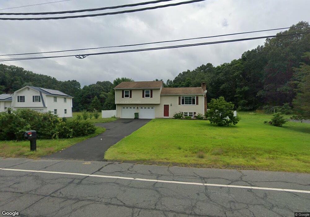
73 High St Windsor, CT 06095
West Windsor NeighborhoodEstimated Value: $345,919 - $399,000
3
Beds
2
Baths
1,076
Sq Ft
$340/Sq Ft
Est. Value
About This Home
This home is located at 73 High St, Windsor, CT 06095 and is currently estimated at $365,480, approximately $339 per square foot. 73 High St is a home located in Hartford County with nearby schools including Poquonock Elementary School, Clover Street School, and Sage Park Middle School.
Ownership History
Date
Name
Owned For
Owner Type
Purchase Details
Closed on
Sep 12, 1997
Sold by
Donahue Michael
Bought by
Cook Allen and Cook Ellen
Current Estimated Value
Purchase Details
Closed on
May 28, 1993
Sold by
Moller Jan and Moller Jacqueline
Bought by
Donahue Michael
Purchase Details
Closed on
Jun 29, 1987
Sold by
M & L Development
Bought by
Moller Jan
Create a Home Valuation Report for This Property
The Home Valuation Report is an in-depth analysis detailing your home's value as well as a comparison with similar homes in the area
Home Values in the Area
Average Home Value in this Area
Purchase History
| Date | Buyer | Sale Price | Title Company |
|---|---|---|---|
| Cook Allen | $130,000 | -- | |
| Donahue Michael | $155,000 | -- | |
| Moller Jan | $154,000 | -- |
Source: Public Records
Mortgage History
| Date | Status | Borrower | Loan Amount |
|---|---|---|---|
| Open | Moller Jan | $220,087 | |
| Closed | Moller Jan | $233,750 | |
| Closed | Moller Jan | $183,200 |
Source: Public Records
Tax History
| Year | Tax Paid | Tax Assessment Tax Assessment Total Assessment is a certain percentage of the fair market value that is determined by local assessors to be the total taxable value of land and additions on the property. | Land | Improvement |
|---|---|---|---|---|
| 2025 | $6,192 | $217,630 | $66,500 | $151,130 |
| 2024 | $6,599 | $217,630 | $66,500 | $151,130 |
| 2023 | $5,097 | $151,690 | $56,840 | $94,850 |
| 2022 | $5,047 | $151,690 | $56,840 | $94,850 |
| 2021 | $5,047 | $151,690 | $56,840 | $94,850 |
| 2020 | $5,022 | $151,690 | $56,840 | $94,850 |
| 2019 | $4,912 | $151,690 | $56,840 | $94,850 |
| 2018 | $4,610 | $139,860 | $56,840 | $83,020 |
| 2017 | $4,538 | $139,860 | $56,840 | $83,020 |
| 2016 | $4,408 | $139,860 | $56,840 | $83,020 |
| 2015 | $4,324 | $139,860 | $56,840 | $83,020 |
| 2014 | $4,262 | $139,860 | $56,840 | $83,020 |
Source: Public Records
Map
Nearby Homes
- 25 High St
- 1946 Poquonock Ave
- 109 Old Village Cir
- 11 Concorde Way Unit B2
- 30 Jackson St
- 32 Walnut Cir
- 443 Elm St
- 0 Walnut and Larch Dr
- 404 Woodland St
- 10 Helena Ln
- 4 Woodland Hollow St
- 10 Cleary Ln
- 999 Stone Rd
- 24 Mary Catherine Cir
- 1 Deanne Lynn Cir
- 58 High Path Rd Unit 58
- 118 High Path Rd Unit 118
- 98 High Path Rd
- 136 High Path Rd
- 22 Apple Tree Ln
Your Personal Tour Guide
Ask me questions while you tour the home.