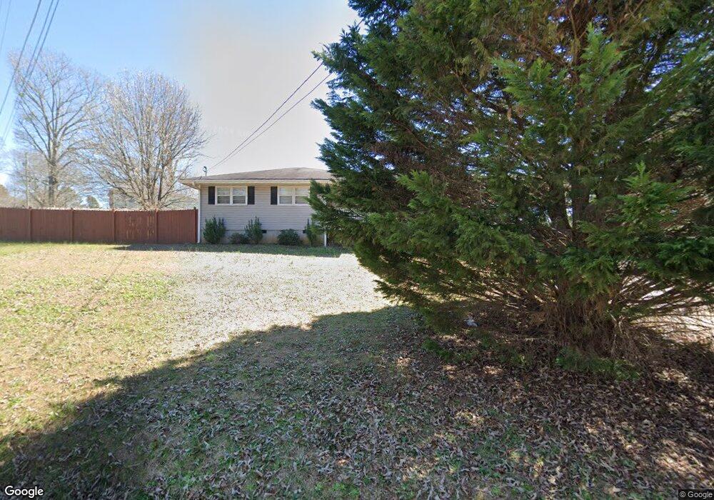
73 Hobert Path Dallas, GA 30157
East Paulding County NeighborhoodEstimated Value: $230,407 - $274,000
3
Beds
2
Baths
1,442
Sq Ft
$177/Sq Ft
Est. Value
About This Home
This home is located at 73 Hobert Path, Dallas, GA 30157 and is currently estimated at $255,102, approximately $176 per square foot. 73 Hobert Path is a home located in Paulding County with nearby schools including Mcgarity Elementary School, P. B. Ritch Middle School, and East Paulding High School.
Ownership History
Date
Name
Owned For
Owner Type
Purchase Details
Closed on
Dec 27, 2019
Sold by
Ragsdale Glenn H
Bought by
Mcmichen Nathan H and Mcmichen Elizabeth A
Current Estimated Value
Home Financials for this Owner
Home Financials are based on the most recent Mortgage that was taken out on this home.
Original Mortgage
$39,000
Outstanding Balance
$8,204
Interest Rate
3.6%
Mortgage Type
New Conventional
Estimated Equity
$246,898
Purchase Details
Closed on
Mar 10, 2015
Sold by
Ragsdale Glenn H
Purchase Details
Closed on
Jan 28, 2013
Sold by
Ragsdale Catherine Estate
Create a Home Valuation Report for This Property
The Home Valuation Report is an in-depth analysis detailing your home's value as well as a comparison with similar homes in the area
Home Values in the Area
Average Home Value in this Area
Purchase History
| Date | Buyer | Sale Price | Title Company |
|---|---|---|---|
| Mcmichen Nathan H | $39,000 | -- | |
| -- | -- | -- | |
| -- | -- | -- |
Source: Public Records
Mortgage History
| Date | Status | Borrower | Loan Amount |
|---|---|---|---|
| Open | Mcmichen Nathan H | $39,000 |
Source: Public Records
Tax History Compared to Growth
Tax History
| Year | Tax Paid | Tax Assessment Tax Assessment Total Assessment is a certain percentage of the fair market value that is determined by local assessors to be the total taxable value of land and additions on the property. | Land | Improvement |
|---|---|---|---|---|
| 2024 | $1,610 | $64,728 | $6,840 | $57,888 |
| 2023 | $1,572 | $60,292 | $6,480 | $53,812 |
| 2022 | $1,385 | $53,144 | $5,320 | $47,824 |
| 2021 | $1,142 | $39,296 | $4,480 | $34,816 |
| 2020 | $1,011 | $34,052 | $4,280 | $29,772 |
| 2019 | $930 | $30,860 | $3,840 | $27,020 |
| 2018 | $782 | $25,972 | $5,360 | $20,612 |
| 2017 | $709 | $23,216 | $5,120 | $18,096 |
| 2016 | $599 | $19,804 | $5,120 | $14,684 |
| 2015 | $566 | $18,380 | $5,040 | $13,340 |
| 2014 | $501 | $15,876 | $4,160 | $11,716 |
| 2013 | -- | $13,480 | $4,440 | $9,040 |
Source: Public Records
Map
Nearby Homes
- 2385 MacLand Rd
- 154 Stephens Mill Dr
- 404 MacLand Mill Dr
- 82 Brookvalley Ct W
- 82 Stephens Mill Dr
- 26 Crescent Ln
- 176 Crescent Woode Way
- 174 Village Dr
- 2778 MacLand Rd
- 114 Crescent Woode Way
- 58 MacLand Mill Ct
- 1078 Camry Cir
- 855 Camry Cir
- 157 MacLand Mill Ln
- 128 Camry Cir
- 326 Camry Cir
- 0 MacLand Mill Dr Unit 10576487
- 328 Camry Cir
- 12 Lenor Dr
- 196 Ragsdale Rd
- 78 Hobert Path
- 124 Ragsdale Rd
- 92 Hobert Path
- 0 Ragsdale Rd Unit 10278171
- 0 Ragsdale Rd Unit 7365254
- 0 Ragsdale Rd Unit 7365250
- 0 Ragsdale Rd Unit 7365252
- 0 Ragsdale Rd Unit 7365251
- 0 Ragsdale Rd Unit 7364510
- 0 Ragsdale Rd Unit 3276835
- 0 Ragsdale Rd Unit 8753995
- 0 Ragsdale Rd Unit 8032757
- 0 Ragsdale Rd
- 181 Ragsdale Rd
- 221 Ragsdale Rd
- 175 Ragsdale Rd
- 109 Old Country Trail
- 81 Old Country Trail
- 123 Old Country Trail