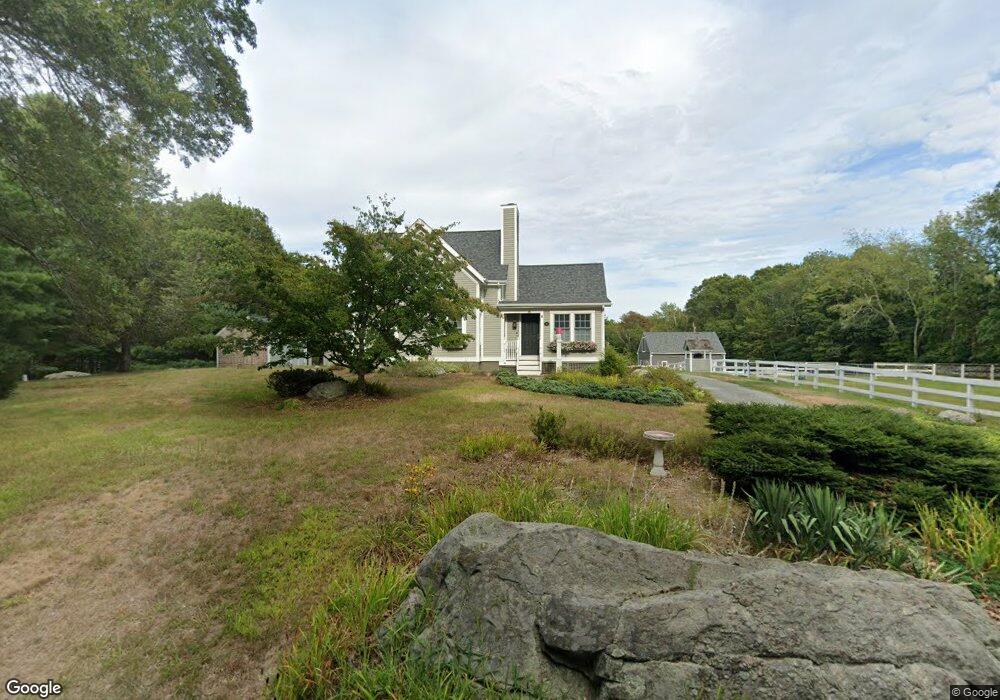
73 Hornbine Rd Rehoboth, MA 02769
Estimated Value: $552,000 - $758,000
2
Beds
1
Bath
1,319
Sq Ft
$474/Sq Ft
Est. Value
About This Home
This home is located at 73 Hornbine Rd, Rehoboth, MA 02769 and is currently estimated at $625,748, approximately $474 per square foot. 73 Hornbine Rd is a home located in Bristol County with nearby schools including Dighton-Rehoboth Regional High School.
Ownership History
Date
Name
Owned For
Owner Type
Purchase Details
Closed on
Oct 9, 2009
Sold by
Latessa Stuart F
Bought by
Latessa Mary E
Current Estimated Value
Purchase Details
Closed on
May 31, 1989
Sold by
Swift Wm G
Bought by
Latessa Stuart F
Home Financials for this Owner
Home Financials are based on the most recent Mortgage that was taken out on this home.
Original Mortgage
$110,000
Interest Rate
10.92%
Mortgage Type
Purchase Money Mortgage
Create a Home Valuation Report for This Property
The Home Valuation Report is an in-depth analysis detailing your home's value as well as a comparison with similar homes in the area
Home Values in the Area
Average Home Value in this Area
Purchase History
| Date | Buyer | Sale Price | Title Company |
|---|---|---|---|
| Latessa Mary E | -- | -- | |
| Latessa Stuart F | $160,000 | -- |
Source: Public Records
Mortgage History
| Date | Status | Borrower | Loan Amount |
|---|---|---|---|
| Previous Owner | Latessa Stuart F | $120,000 | |
| Previous Owner | Latessa Stuart F | $100,000 | |
| Previous Owner | Latessa Stuart F | $110,000 |
Source: Public Records
Tax History Compared to Growth
Tax History
| Year | Tax Paid | Tax Assessment Tax Assessment Total Assessment is a certain percentage of the fair market value that is determined by local assessors to be the total taxable value of land and additions on the property. | Land | Improvement |
|---|---|---|---|---|
| 2025 | $54 | $480,100 | $266,900 | $213,200 |
| 2024 | $5,318 | $468,100 | $266,900 | $201,200 |
| 2023 | $5,265 | $454,700 | $262,900 | $191,800 |
| 2022 | $4,905 | $387,100 | $254,500 | $132,600 |
| 2021 | $23,051 | $366,700 | $238,200 | $128,500 |
| 2020 | $4,652 | $354,600 | $238,200 | $116,400 |
| 2018 | $4,161 | $347,600 | $230,400 | $117,200 |
| 2017 | $2,313 | $347,600 | $230,400 | $117,200 |
| 2016 | $4,223 | $347,600 | $230,400 | $117,200 |
| 2015 | $4,110 | $333,900 | $223,200 | $110,700 |
| 2014 | $3,981 | $320,000 | $216,000 | $104,000 |
Source: Public Records
Map
Nearby Homes
- 79 Hornbine Rd
- 72 Hornbine Rd
- 71 Hornbine Rd
- 85 Hornbine Rd
- 68 Hornbine Rd
- 82 Hornbine Rd
- 89 Hornbine Rd
- 78 Hornbine Rd
- 90 Hornbine Rd
- 95 Hornbine Rd
- 64 Hornbine Rd
- 64 Hornbine Rd Unit 2
- 54 Hornbine Rd
- 45 Hornbine Rd
- 41 Hornbine Rd
- 37 Hornbine Rd
- 52 Hornbine Rd
- 99 Hornbine Rd
- 33 Hornbine Rd
- 105 Hornbine Rd