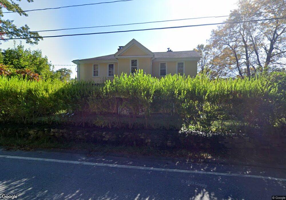
73 Hubbardston Rd Princeton, MA 01541
Estimated Value: $405,000 - $674,000
3
Beds
2
Baths
2,550
Sq Ft
$216/Sq Ft
Est. Value
About This Home
This home is located at 73 Hubbardston Rd, Princeton, MA 01541 and is currently estimated at $550,981, approximately $216 per square foot. 73 Hubbardston Rd is a home located in Worcester County with nearby schools including Wachusett Regional High School.
Ownership History
Date
Name
Owned For
Owner Type
Purchase Details
Closed on
Apr 11, 2022
Sold by
Mattison Kathryn C and Mattison Richard S
Bought by
Mattison Peter W and Parkington Abbey R
Current Estimated Value
Home Financials for this Owner
Home Financials are based on the most recent Mortgage that was taken out on this home.
Original Mortgage
$260,000
Outstanding Balance
$242,404
Interest Rate
3.89%
Mortgage Type
Purchase Money Mortgage
Estimated Equity
$308,577
Create a Home Valuation Report for This Property
The Home Valuation Report is an in-depth analysis detailing your home's value as well as a comparison with similar homes in the area
Home Values in the Area
Average Home Value in this Area
Purchase History
| Date | Buyer | Sale Price | Title Company |
|---|---|---|---|
| Mattison Peter W | $325,000 | None Available |
Source: Public Records
Mortgage History
| Date | Status | Borrower | Loan Amount |
|---|---|---|---|
| Open | Mattison Peter W | $260,000 |
Source: Public Records
Tax History Compared to Growth
Tax History
| Year | Tax Paid | Tax Assessment Tax Assessment Total Assessment is a certain percentage of the fair market value that is determined by local assessors to be the total taxable value of land and additions on the property. | Land | Improvement |
|---|---|---|---|---|
| 2025 | $7,141 | $491,500 | $163,900 | $327,600 |
| 2024 | $6,719 | $478,900 | $161,300 | $317,600 |
| 2023 | $6,038 | $398,800 | $128,600 | $270,200 |
| 2022 | $5,877 | $374,800 | $128,600 | $246,200 |
| 2021 | $5,763 | $357,500 | $128,600 | $228,900 |
| 2020 | $7,543 | $475,900 | $128,600 | $347,300 |
| 2019 | $7,520 | $469,400 | $125,700 | $343,700 |
| 2018 | $7,159 | $414,300 | $107,000 | $307,300 |
| 2017 | $7,245 | $407,500 | $148,000 | $259,500 |
| 2016 | $7,254 | $407,500 | $148,000 | $259,500 |
| 2015 | $7,008 | $405,100 | $150,400 | $254,700 |
Source: Public Records
Map
Nearby Homes
- 20 Mountain Rd
- 58 Merriam Rd
- 28 Merriam Rd
- 11 Mirick Rd
- 134 Mountain Rd
- 56 Hubbardston Rd
- 166 Ball Hill Rd
- 17 Coal Kiln Rd
- 15 Stagecoach Rd
- 9 Stagecoach Rd
- 14 Oak Cir
- 100 Houghton Rd
- 46 Pine Hill Rd
- 161 Beaman Rd
- 45 Old Colony Rd
- 47 Pine Hill Rd
- 751 Mason Rd
- 81 Glenwood Place
- 20 Town Farm Rd
- 271 Glenwood Rd
- 68 Hubbardston Rd
- 80 Hubbardston Rd
- 81 Hubbardston Rd
- 4 Goodnow Rd
- 86 Hubbardston Rd
- 7 Goodnow Rd
- 12 Radford Rd
- 18 Radford Rd
- 8 Radford Rd
- Lot D Hubbardston Rd
- Lot A Hubbardston Rd
- 15 Radford Rd
- 13 Goodnow Rd
- 11 Radford Rd
- 7 Radford Rd
- 52 Hubbardston Rd
- 28 Radford Rd
- 14 Goodnow Rd
- 23 Radford Rd
- 13 Radford Rd