Estimated Value: $387,000 - $501,000
About This Home
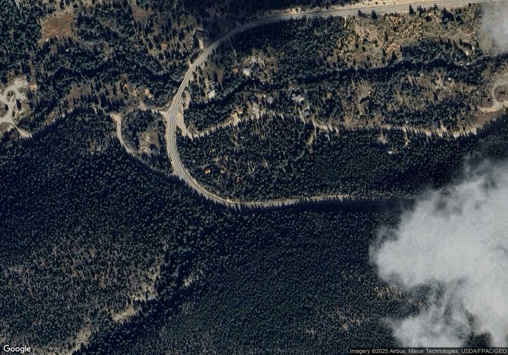
This home is located at 73 Kansas Hill Rd, Lyons, CO 80540 and is currently estimated at $440,105, approximately $443 per square foot. 73 Kansas Hill Rd is a home located in Boulder County with nearby schools including Lyons Elementary School and Lyons Middle/Senior High School.
Ownership History
We collect this data history from publicly available records. To have your information removed, we recommend requesting removal directly through your county’s website.
Purchase Details
Home Financials for this Owner
Home Financials are based on the most recent Mortgage that was taken out on this home.Purchase Details
Purchase Details
Purchase Details
Purchase Details
Purchase History
We collect this data history from publicly available records. To have your information removed, we recommend requesting removal directly through your county’s website.
| Date | Buyer | Sale Price | Title Company |
|---|---|---|---|
| -- | -- | ||
| -- | -- | ||
| -- | -- | ||
| -- | -- | ||
| -- | -- |
Mortgage History
We collect this data history from publicly available records. To have your information removed, we recommend requesting removal directly through your county’s website.
| Date | Status | Borrower | Loan Amount |
|---|---|---|---|
| Open | $60,000 |
Tax History
We collect this data history from publicly available records. To have your information removed, we recommend requesting removal directly through your county’s website.
| Year | Tax Paid | Tax Assessment Tax Assessment Total Assessment is a certain percentage of the fair market value that is determined by local assessors to be the total taxable value of land and additions on the property. | Land | Improvement |
|---|---|---|---|---|
| 2026 | $2,199 | $24,378 | $1,462 | $22,916 |
| 2025 | $2,199 | $24,378 | $1,462 | $22,916 |
| 2024 | $1,698 | $22,407 | $1,344 | $21,063 |
| 2023 | $1,673 | $19,122 | $1,045 | $21,762 |
| 2022 | $1,521 | $16,520 | $1,202 | $15,318 |
| 2021 | $1,539 | $16,996 | $1,237 | $15,759 |
| 2020 | $1,207 | $13,378 | $1,645 | $11,733 |
| 2019 | $1,188 | $13,378 | $1,645 | $11,733 |
| 2018 | $1,070 | $12,154 | $1,872 | $10,282 |
| 2017 | $1,058 | $13,437 | $2,070 | $11,367 |
| 2016 | $1,039 | $11,709 | $2,627 | $9,082 |
| 2015 | $986 | $8,311 | $1,274 | $7,037 |
| 2014 | $719 | $8,311 | $1,274 | $7,037 |
Map
- 111 Peaceful Valley Rd
- 450 Peaceful Valley Rd
- 48621 Peak To Peak Hwy
- 46525 Highway 72
- 3154 Riverside Dr
- 2772 Riverside Dr
- 2508 Riverside Dr
- 2476 Riverside Dr
- 0 Rock Lake Rd Unit 12
- 2248 Riverside Dr
- 902 Rock Lake Rd
- 11614 Peak To Peak Hwy
- 190 Hard Way
- 189 Hard Way Rd
- 317 Ridge Rd
- 365 Overland Dr
- 398 Overland Dr
- 149 Rockledge Cir
- 143 Crockett Trail
- 0 Sparn Way Unit IRE1062572
- 77 Kansas Hill Rd
- 59 Kansas Hill Rd
- 60 Kansas Hill Rd
- 97 Kansas Hill Rd
- 58 Kansas Hill Rd
- 78 Peaceful Valley Rd
- 52 Peaceful Valley Rd
- 110 Peaceful Valley Rd
- 101 Kansas Hill Rd
- 30 Kansas Hill Rd
- 32 Peaceful Valley Rd
- 39 Kansas Hill Rd
- 24 Peaceful Valley Rd
- 83 Peaceful Valley Rd
- 25 Peaceful Valley Rd
- 9 Kansas Hill Rd
- 103 Peaceful Valley Rd
- 155 Peaceful Valley Rd
- 50108 State Highway 72
- 50148 State Highway 72
Ask me questions while you tour the home.