73 Liberty Square Rd Unit 22A Boxborough, MA 01719
Estimated Value: $149,000 - $277,000
1
Bed
1
Bath
763
Sq Ft
$272/Sq Ft
Est. Value
About This Home
This home is located at 73 Liberty Square Rd Unit 22A, Boxborough, MA 01719 and is currently estimated at $207,289, approximately $271 per square foot. 73 Liberty Square Rd Unit 22A is a home located in Middlesex County with nearby schools including Acton-Boxborough Regional High School.
Ownership History
Date
Name
Owned For
Owner Type
Purchase Details
Closed on
May 29, 2003
Sold by
Moore Elizabeth H and Moore Thomas G
Bought by
Jaco Lizette
Current Estimated Value
Home Financials for this Owner
Home Financials are based on the most recent Mortgage that was taken out on this home.
Original Mortgage
$100,550
Outstanding Balance
$44,301
Interest Rate
5.86%
Mortgage Type
Purchase Money Mortgage
Estimated Equity
$162,988
Create a Home Valuation Report for This Property
The Home Valuation Report is an in-depth analysis detailing your home's value as well as a comparison with similar homes in the area
Home Values in the Area
Average Home Value in this Area
Purchase History
| Date | Buyer | Sale Price | Title Company |
|---|---|---|---|
| Jaco Lizette | $111,750 | -- |
Source: Public Records
Mortgage History
| Date | Status | Borrower | Loan Amount |
|---|---|---|---|
| Open | Jaco Lizette | $100,550 |
Source: Public Records
Tax History Compared to Growth
Tax History
| Year | Tax Paid | Tax Assessment Tax Assessment Total Assessment is a certain percentage of the fair market value that is determined by local assessors to be the total taxable value of land and additions on the property. | Land | Improvement |
|---|---|---|---|---|
| 2025 | $2,277 | $150,400 | $0 | $150,400 |
| 2024 | $2,133 | $142,300 | $0 | $142,300 |
| 2023 | $2,198 | $141,600 | $0 | $141,600 |
| 2022 | $1,826 | $104,800 | $0 | $104,800 |
| 2020 | $1,729 | $103,400 | $0 | $103,400 |
| 2019 | $6,516 | $78,100 | $0 | $78,100 |
| 2018 | $1,281 | $77,900 | $0 | $77,900 |
| 2017 | $5,842 | $80,000 | $0 | $80,000 |
| 2016 | $1,219 | $74,500 | $0 | $74,500 |
| 2015 | $1,254 | $75,300 | $0 | $75,300 |
| 2014 | $1,357 | $76,700 | $0 | $76,700 |
Source: Public Records
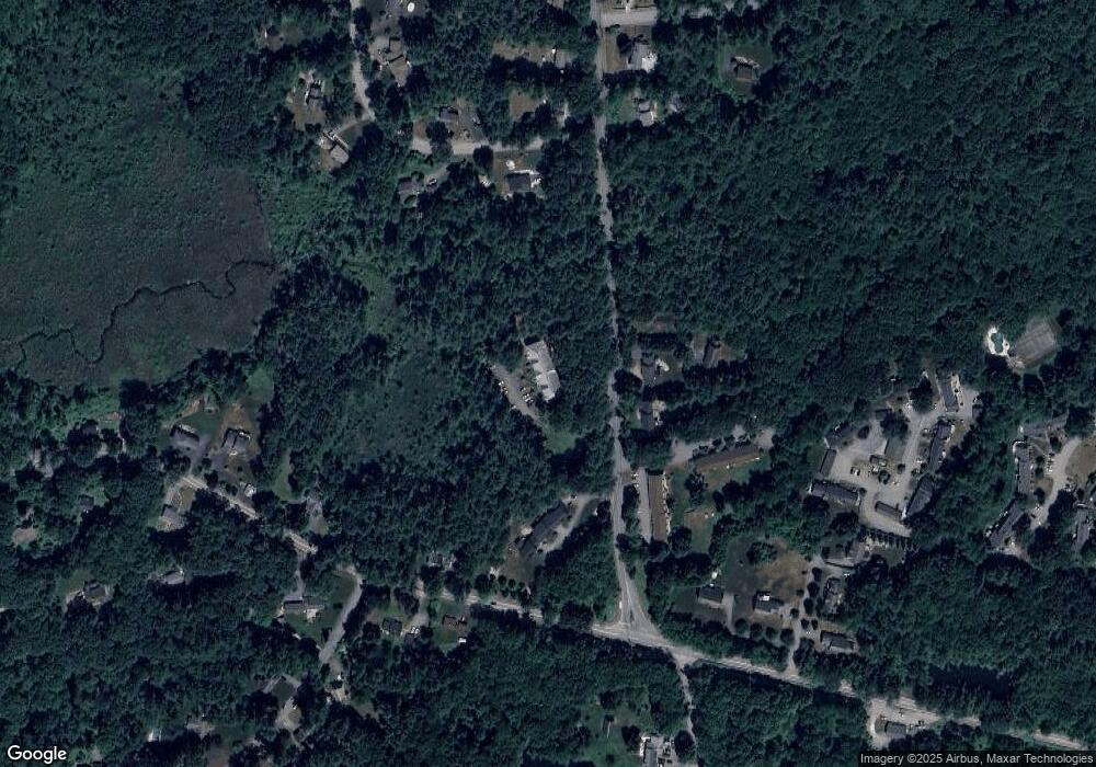
Map
Nearby Homes
- 68 Macintosh Ln
- 96 Cedarwood Rd
- 777 Depot Rd
- 5 Elm St Unit 1
- 9 Elm St Unit 1
- 285 Central St Unit 285
- 31 Mohawk Dr
- 12 Olde Lantern Rd
- 92 Willow St Unit 3
- 92 Willow St Unit 2
- 90 Willow St Unit 1
- 89 Windsor Ave
- 3 Heather Hill Rd
- 139 Picnic St
- 4,7,8 Crestwood Ln
- 4 Huron Rd
- 1155 Burroughs Rd
- 207 Boxboro Rd
- 63 Leonard Rd Unit 63
- 169 Main St
- 73 Liberty Square Rd Unit 36A
- 73 Liberty Square Rd Unit 34A
- 73 Liberty Square Rd Unit 32A
- 73 Liberty Square Rd Unit 30A
- 73 Liberty Square Rd Unit 26A
- 73 Liberty Square Rd Unit 24A
- 73 Liberty Square Rd Unit 20A
- 73 Liberty Square Rd Unit 18A
- 73 Liberty Square Rd Unit 16A
- 73 Liberty Square Rd Unit 14A
- 73 Liberty Square Rd Unit 12A
- 73 Liberty Square Rd Unit 24-2
- 71 Liberty Square Rd
- 81 Liberty Square Rd Unit 36B
- 81 Liberty Square Rd Unit 34B
- 81 Liberty Square Rd Unit 32B
- 81 Liberty Square Rd Unit 30B
- 81 Liberty Square Rd Unit 26B
- 81 Liberty Square Rd Unit 24B
- 81 Liberty Square Rd Unit 22B