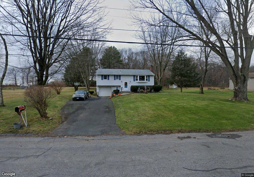
73 Mark Dr Coventry, CT 06238
Coventry AreaEstimated Value: $305,000 - $389,000
About This Home
This home is located at 73 Mark Dr, Coventry, CT 06238 and is currently estimated at $347,020, approximately $281 per square foot. 73 Mark Dr is a home located in Tolland County with nearby schools including Coventry Grammar School, George Hersey Robertson School, and Capt. Nathan Hale School.
Ownership History
We collect this data history from publicly available records. To have your information removed, we recommend requesting removal directly through your county’s website.
Purchase Details
Home Financials for this Owner
Home Financials are based on the most recent Mortgage that was taken out on this home.Purchase Details
Home Values in the Area
Average Home Value in this Area
Purchase History
We collect this data history from publicly available records. To have your information removed, we recommend requesting removal directly through your county’s website.
| Date | Buyer | Sale Price | Title Company |
|---|---|---|---|
| -- | None Available | ||
| -- | -- |
Mortgage History
We collect this data history from publicly available records. To have your information removed, we recommend requesting removal directly through your county’s website.
| Date | Status | Borrower | Loan Amount |
|---|---|---|---|
| Previous Owner | $25,000 | ||
| Previous Owner | $40,000 | ||
| Previous Owner | $20,000 | ||
| Previous Owner | $69,000 |
Tax History
We collect this data history from publicly available records. To have your information removed, we recommend requesting removal directly through your county’s website.
| Year | Tax Paid | Tax Assessment Tax Assessment Total Assessment is a certain percentage of the fair market value that is determined by local assessors to be the total taxable value of land and additions on the property. | Land | Improvement |
|---|---|---|---|---|
| 2025 | $5,097 | $214,500 | $56,800 | $157,700 |
| 2024 | $4,314 | $129,500 | $46,900 | $82,600 |
| 2023 | $4,110 | $129,500 | $46,900 | $82,600 |
| 2022 | $4,034 | $129,500 | $46,900 | $82,600 |
| 2021 | $4,034 | $129,500 | $46,900 | $82,600 |
| 2020 | $4,037 | $129,500 | $46,900 | $82,600 |
| 2019 | $4,173 | $129,600 | $46,900 | $82,700 |
| 2018 | $4,212 | $130,800 | $46,900 | $83,900 |
| 2017 | $4,186 | $130,800 | $46,900 | $83,900 |
| 2016 | $4,081 | $130,800 | $46,900 | $83,900 |
| 2015 | $4,081 | $130,800 | $46,900 | $83,900 |
| 2014 | $4,245 | $149,100 | $57,200 | $91,900 |
Map
- 0 Boston Turnpike Unit 24128587
- 158 Appian Way
- 41 Wolf Hill Rd Unit Lot 39
- Lot 2 Neville St
- Lot 1 Neville St
- 650 Dunn Rd
- 98 Cedar Swamp Rd
- 240 Wrights Mill Rd
- 82 Bolton Branch Rd
- 361 Dunn Rd
- 117 Satari Dr
- 28 Heather Ln
- 7 Laurelwood Ln
- 39 Dexter Rd
- 116 Cedar Swamp Rd
- 2880 & 2878 Main St
- 2880 Main St
- 67 Pine Hill Rd
- 268 Hatch Hill Rd
- 88 Lawlor Rd
Ask me questions while you tour the home.