73 Menikoe Haven Rd Harpswell, ME 04079
Harpswell Neck NeighborhoodEstimated Value: $1,337,000 - $2,053,000
6
Beds
5
Baths
4,186
Sq Ft
$421/Sq Ft
Est. Value
About This Home
This home is located at 73 Menikoe Haven Rd, Harpswell, ME 04079 and is currently estimated at $1,761,449, approximately $420 per square foot. 73 Menikoe Haven Rd is a home with nearby schools including Mt Ararat High School.
Ownership History
Date
Name
Owned For
Owner Type
Purchase Details
Closed on
Mar 17, 2010
Sold by
Muldeen Elizabeth D
Bought by
Muldoon William G and Muldoon Elizabeth D
Current Estimated Value
Home Financials for this Owner
Home Financials are based on the most recent Mortgage that was taken out on this home.
Original Mortgage
$368,000
Outstanding Balance
$243,798
Interest Rate
5.05%
Mortgage Type
Unknown
Estimated Equity
$1,517,651
Create a Home Valuation Report for This Property
The Home Valuation Report is an in-depth analysis detailing your home's value as well as a comparison with similar homes in the area
Home Values in the Area
Average Home Value in this Area
Purchase History
| Date | Buyer | Sale Price | Title Company |
|---|---|---|---|
| Muldoon William G | -- | -- | |
| Moulton Elizabeth D | -- | -- |
Source: Public Records
Mortgage History
| Date | Status | Borrower | Loan Amount |
|---|---|---|---|
| Open | Moulton Elizabeth D | $368,000 | |
| Closed | Moulton Elizabeth D | $368,000 | |
| Previous Owner | Moulton Elizabeth D | $386,000 | |
| Previous Owner | Moulton Elizabeth D | $385,100 |
Source: Public Records
Tax History Compared to Growth
Tax History
| Year | Tax Paid | Tax Assessment Tax Assessment Total Assessment is a certain percentage of the fair market value that is determined by local assessors to be the total taxable value of land and additions on the property. | Land | Improvement |
|---|---|---|---|---|
| 2024 | $9,221 | $1,449,900 | $433,500 | $1,016,400 |
| 2023 | $8,844 | $1,449,900 | $433,500 | $1,016,400 |
| 2022 | $8,554 | $1,449,900 | $433,500 | $1,016,400 |
| 2021 | $8,005 | $1,184,100 | $445,900 | $738,200 |
| 2020 | $1,767 | $1,184,100 | $445,900 | $738,200 |
| 2019 | $246 | $1,184,300 | $445,900 | $738,400 |
| 2018 | $7,674 | $1,184,300 | $445,900 | $738,400 |
| 2017 | $5,779 | $1,184,300 | $445,900 | $738,400 |
| 2016 | $1,755 | $1,147,300 | $408,900 | $738,400 |
| 2015 | $7,159 | $1,147,300 | $408,900 | $738,400 |
| 2013 | $6,620 | $1,145,300 | $408,900 | $736,400 |
Source: Public Records
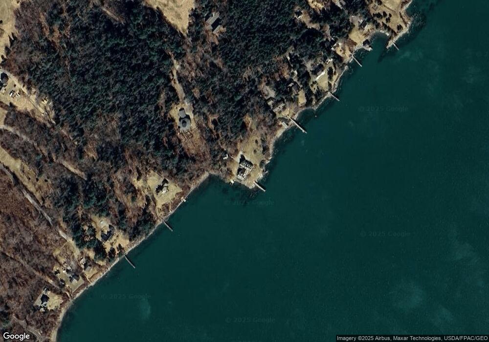
Map
Nearby Homes
- 1450 Harpswell Neck Rd
- 16 Ash Point Rd Unit 16
- 18 Ash Point Rd
- 10 Irene Ave
- 1 Mallard Pond Rd
- 30 Osbourne Row
- 10 S Colony Branch Rd
- 1689 Harpswell Islands Rd
- 8 & 2 Kane Ln
- 87 Lowells Cove Rd
- 6 Kane Ln
- 41 Spruce Brook Dr
- Lot 2A Allen Point Rd
- Lot 2B Allen Point Rd
- Lot 129 Harpswell Neck Rd
- 0 Bayview Rd Unit 2 1632776
- 19 Hugh Ave
- 20 Long Point Island
- 20 Spruce Ledge Rd
- lot C Long Point Rd