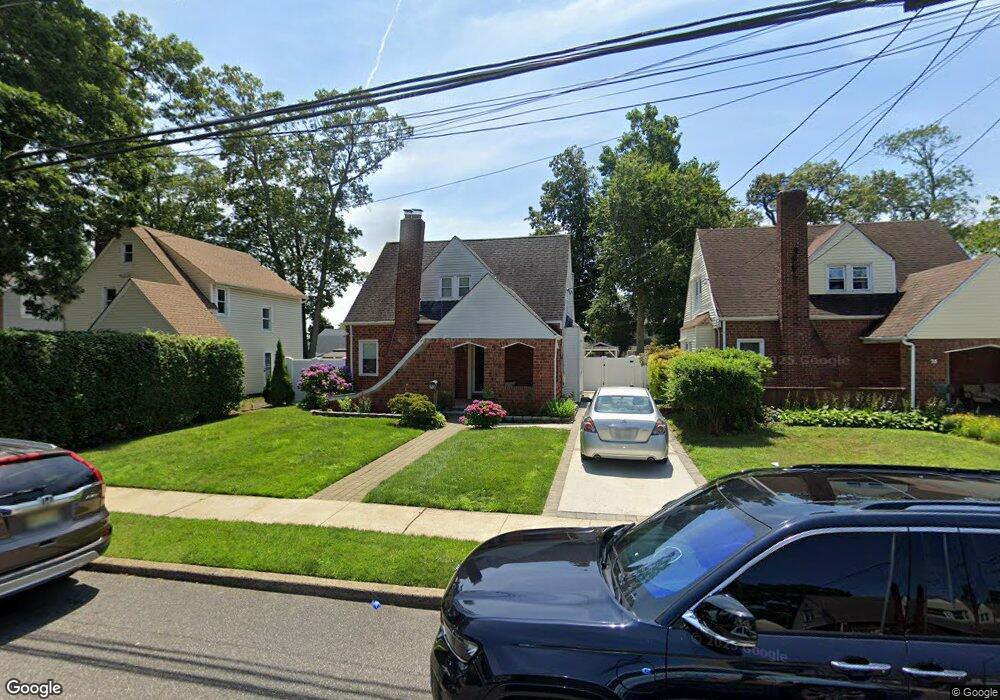
73 Mount Joy Ave Freeport, NY 11520
Estimated Value: $448,000 - $618,408
3
Beds
1
Bath
1,043
Sq Ft
$511/Sq Ft
Est. Value
About This Home
This home is located at 73 Mount Joy Ave, Freeport, NY 11520 and is currently estimated at $533,204, approximately $511 per square foot. 73 Mount Joy Ave is a home located in Nassau County with nearby schools including Roosevelt Middle School, Roosevelt High School, and Roosevelt Children's Academy.
Ownership History
Date
Name
Owned For
Owner Type
Purchase Details
Closed on
Jul 8, 2013
Sold by
Mccray Michael
Bought by
Castillo Juan
Current Estimated Value
Home Financials for this Owner
Home Financials are based on the most recent Mortgage that was taken out on this home.
Original Mortgage
$186,558
Outstanding Balance
$134,675
Interest Rate
3.75%
Mortgage Type
FHA
Estimated Equity
$398,529
Purchase Details
Closed on
Jul 21, 1998
Sold by
Poole Ketty A
Bought by
Mccray Michael
Purchase Details
Closed on
Aug 19, 1996
Sold by
Secretary Of Housing & Urban D Evelopment
Bought by
Victory Housing Development Fu Nd Co Inc
Home Financials for this Owner
Home Financials are based on the most recent Mortgage that was taken out on this home.
Original Mortgage
$97,050
Interest Rate
8.18%
Purchase Details
Closed on
Feb 2, 1995
Sold by
Stadler Jeffrey Ref
Bought by
Secretary Of Housing & Urban D Evelopment Of
Create a Home Valuation Report for This Property
The Home Valuation Report is an in-depth analysis detailing your home's value as well as a comparison with similar homes in the area
Home Values in the Area
Average Home Value in this Area
Purchase History
| Date | Buyer | Sale Price | Title Company |
|---|---|---|---|
| Castillo Juan | -- | -- | |
| Mccray Michael | $129,500 | -- | |
| Victory Housing Development Fu Nd Co Inc | $23,200 | -- | |
| Secretary Of Housing & Urban D Evelopment Of | $75,132 | -- |
Source: Public Records
Mortgage History
| Date | Status | Borrower | Loan Amount |
|---|---|---|---|
| Open | Castillo Juan | $186,558 | |
| Previous Owner | Victory Housing Development Fu Nd Co Inc | $97,050 |
Source: Public Records
Tax History
| Year | Tax Paid | Tax Assessment Tax Assessment Total Assessment is a certain percentage of the fair market value that is determined by local assessors to be the total taxable value of land and additions on the property. | Land | Improvement |
|---|---|---|---|---|
| 2025 | $6,369 | $346 | $122 | $224 |
| 2024 | $769 | $351 | $124 | $227 |
Source: Public Records
Map
Nearby Homes
- 365 Wallace St
- 12 King St
- 20 Sterling Place
- 200 Evans Ave
- 72 Woodside Ave
- 32 Dawes Ave
- 139 New York Ave
- 41 W Fulton Ave
- 35 W Seaman Ave
- 315 Maryland Ave
- 63 Lincoln Place
- 1 Willowbrook Ln
- 171 Ellison Ave
- 60 Connecticut Ave
- 63 E Seaman Ave
- 156 Brookside Ave
- 161 Wallace St
- 27 W Woodbine Dr
- 188 Woodside Ave
- 89 Delaware Ave
Your Personal Tour Guide
Ask me questions while you tour the home.