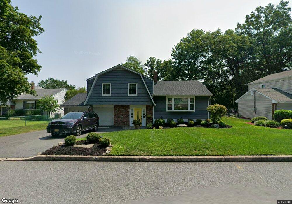
73 Mountain Ave Westwood, NJ 07675
Estimated Value: $862,000 - $936,000
3
Beds
3
Baths
1,824
Sq Ft
$494/Sq Ft
Est. Value
About This Home
This home is located at 73 Mountain Ave, Westwood, NJ 07675 and is currently estimated at $900,158, approximately $493 per square foot. 73 Mountain Ave is a home located in Bergen County with nearby schools including Westwood Regional High School, Primoris Academy, and St. John's Academy.
Ownership History
Date
Name
Owned For
Owner Type
Purchase Details
Closed on
Jul 26, 2002
Sold by
Dibianco Francesca
Bought by
Ming Matthew and Ming Maria L
Current Estimated Value
Home Financials for this Owner
Home Financials are based on the most recent Mortgage that was taken out on this home.
Original Mortgage
$396,000
Outstanding Balance
$168,645
Interest Rate
6.64%
Estimated Equity
$731,513
Purchase Details
Closed on
Nov 4, 1998
Sold by
Wang Walter and Wang Carla
Bought by
Dibianco Francesca
Create a Home Valuation Report for This Property
The Home Valuation Report is an in-depth analysis detailing your home's value as well as a comparison with similar homes in the area
Home Values in the Area
Average Home Value in this Area
Purchase History
| Date | Buyer | Sale Price | Title Company |
|---|---|---|---|
| Ming Matthew | $445,000 | -- | |
| Dibianco Francesca | $242,000 | -- |
Source: Public Records
Mortgage History
| Date | Status | Borrower | Loan Amount |
|---|---|---|---|
| Open | Ming Matthew | $396,000 |
Source: Public Records
Tax History Compared to Growth
Tax History
| Year | Tax Paid | Tax Assessment Tax Assessment Total Assessment is a certain percentage of the fair market value that is determined by local assessors to be the total taxable value of land and additions on the property. | Land | Improvement |
|---|---|---|---|---|
| 2025 | $14,010 | $665,600 | $354,400 | $311,200 |
| 2024 | $13,866 | $641,500 | $341,900 | $299,600 |
| 2023 | $13,586 | $604,700 | $319,100 | $285,600 |
| 2022 | $13,586 | $564,200 | $291,300 | $272,900 |
| 2021 | $13,704 | $546,200 | $281,300 | $264,900 |
| 2020 | $14,173 | $559,300 | $276,800 | $282,500 |
| 2019 | $12,683 | $503,300 | $274,300 | $229,000 |
| 2018 | $12,380 | $498,600 | $270,300 | $228,300 |
| 2017 | $12,302 | $490,300 | $266,300 | $224,000 |
| 2016 | $12,037 | $458,200 | $256,300 | $201,900 |
| 2015 | $11,657 | $458,200 | $256,300 | $201,900 |
| 2014 | $11,418 | $458,200 | $256,300 | $201,900 |
Source: Public Records
Map
Nearby Homes
- 665 Calvin St
- 22 Beech St
- 85 Taylor St
- 33 Oak St
- 137 Broadway
- 517 Howard St
- 550 Fairview Ave Unit 116
- 550 Fairview Ave Unit 203
- 6 Fairview Ave
- 25 Cherry Place
- 288 Washington Ave
- 32 Chadwick Rd
- 603 Broadway Unit A
- 192 Broadway
- 680 Mariann Place
- 151 Winchester Ct Unit 151
- 485 Kinderkamack Rd
- 24 Brookside Place
- 662 Jefferson Ave
- 667 Mckinley Ave
- 67 Mountain Ave
- 79 Mountain Ave
- 61 Mountain Ave
- 80 Hillside Ave
- 100 Hillside Ave
- 85 Mountain Ave
- 74 Mountain Ave
- 80 Mountain Ave
- 68 Mountain Ave
- 76 Hillside Ave
- 86 Mountain Ave
- 57 Mountain Ave
- 62 Mountain Ave
- 106 Hillside Ave
- 739 Koch Peak Ave
- 15 Catherine Ct
- 49 Mountain Ave
- 56 Mountain Ave
- 745 Koch Peak Ave
- 68 Hillside Ave