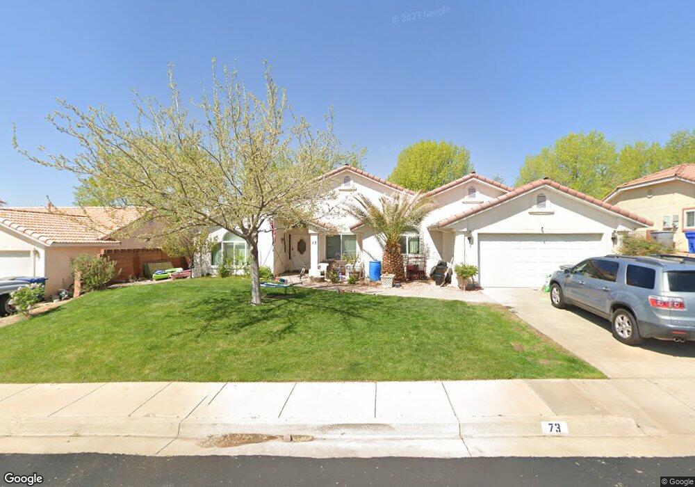
73 N 2120 East Cir Saint George, UT 84790
Estimated Value: $406,000 - $432,000
3
Beds
2
Baths
1,388
Sq Ft
$303/Sq Ft
Est. Value
About This Home
This home is located at 73 N 2120 East Cir, Saint George, UT 84790 and is currently estimated at $420,018, approximately $302 per square foot. 73 N 2120 East Cir is a home located in Washington County with nearby schools including Panorama School, Pine View Middle School, and Fossil Ridge Intermediate School.
Ownership History
Date
Name
Owned For
Owner Type
Purchase Details
Closed on
Apr 16, 2019
Sold by
Loris Llc
Bought by
Anderson Jamie D and King Amon C
Current Estimated Value
Home Financials for this Owner
Home Financials are based on the most recent Mortgage that was taken out on this home.
Original Mortgage
$240,340
Outstanding Balance
$217,472
Interest Rate
5.87%
Mortgage Type
FHA
Estimated Equity
$202,546
Purchase Details
Closed on
Dec 9, 2008
Sold by
Morton Peter F and Morton Linda M
Bought by
Loris Llc
Create a Home Valuation Report for This Property
The Home Valuation Report is an in-depth analysis detailing your home's value as well as a comparison with similar homes in the area
Home Values in the Area
Average Home Value in this Area
Purchase History
| Date | Buyer | Sale Price | Title Company |
|---|---|---|---|
| Anderson Jamie D | -- | Southern Utah Title Company | |
| Loris Llc | -- | None Available |
Source: Public Records
Mortgage History
| Date | Status | Borrower | Loan Amount |
|---|---|---|---|
| Open | Anderson Jamie D | $240,340 |
Source: Public Records
Tax History Compared to Growth
Tax History
| Year | Tax Paid | Tax Assessment Tax Assessment Total Assessment is a certain percentage of the fair market value that is determined by local assessors to be the total taxable value of land and additions on the property. | Land | Improvement |
|---|---|---|---|---|
| 2025 | $1,452 | $213,180 | $59,400 | $153,780 |
| 2023 | $1,498 | $223,795 | $52,800 | $170,995 |
| 2022 | $1,591 | $223,520 | $52,250 | $171,270 |
| 2021 | $1,420 | $297,600 | $80,000 | $217,600 |
| 2020 | $1,262 | $249,000 | $60,000 | $189,000 |
| 2019 | $1,239 | $238,800 | $60,000 | $178,800 |
| 2018 | $1,201 | $116,105 | $0 | $0 |
| 2017 | $1,023 | $98,835 | $0 | $0 |
| 2016 | $1,063 | $95,040 | $0 | $0 |
| 2015 | $1,028 | $88,165 | $0 | $0 |
| 2014 | $953 | $82,225 | $0 | $0 |
Source: Public Records
Map
Nearby Homes
- 9 S 2060 E
- 210 N Mall Dr Unit 46
- 210 N Mall Dr Unit 56
- 210 N Mall Dr Unit 86
- 2294 E 170 N
- 1908 E 40 S
- 2911 E Snowberry Dr Unit 56
- 2911 E Snowberry Dr
- 5670 S Carnelian Pkwy
- 5664 S Carnelian Pkwy
- 345 N 2450 E Unit 152
- 345 N 2450 E Unit 239
- 2054 E 140 S
- 345 N 2450 E Unit 120
- 345 N 2450 E
- 3 2450 St E Unit 3
- 145 N Mall Dr Unit 10
- 240 N Sunflower Dr
- 240 N Sunflower Dr Unit 42
- 236 S 2020 Cir E
- 59 N 2120 East Cir
- 85 N 2120 East Cir
- 85 N 2120 Cir E
- 74 N 2080 East Cir
- 74 N 2080 Cir E
- 60 N 2080 East Cir
- 88 N 2080 East Cir
- 60 N 2080 Cir E
- 76 N 2120 East Cir
- 99 N 2120 Cir E
- 99 N 2120 East Cir
- 90 N 2120 East Cir
- 62 N 2120 East Cir
- 104 N 2080 E
- 46 N 2080 Cir E
- 46 N 2080 East Cir
- 104 N 2080 East Cir
- 582 N 2080 Cir E
- 48 N 2120 Cir E
- 48 N 2120 East Cir