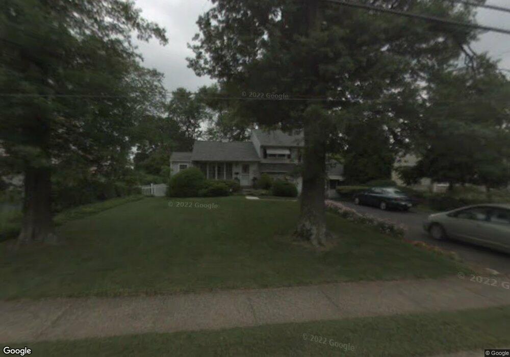
73 Norristown Rd Warminster, PA 18974
Estimated Value: $403,000 - $459,000
3
Beds
2
Baths
1,188
Sq Ft
$361/Sq Ft
Est. Value
About This Home
This home is located at 73 Norristown Rd, Warminster, PA 18974 and is currently estimated at $429,264, approximately $361 per square foot. 73 Norristown Rd is a home located in Bucks County with nearby schools including Willow Dale El School, Log College Middle School, and William Tennent High School.
Ownership History
Date
Name
Owned For
Owner Type
Purchase Details
Closed on
Jun 21, 2021
Sold by
Coppens Louis F and Coppens Kathleen M
Bought by
Coppens Louis F and Coppens Kathleen M
Current Estimated Value
Purchase Details
Closed on
Sep 25, 1995
Sold by
Kaufman Martha and Wetzel Fay J
Bought by
Coppens Louis F and Coppens Kathleen M
Home Financials for this Owner
Home Financials are based on the most recent Mortgage that was taken out on this home.
Original Mortgage
$129,500
Outstanding Balance
$918
Interest Rate
7.71%
Estimated Equity
$428,346
Purchase Details
Closed on
Oct 28, 1955
Bought by
Kaufman Charles F and Kaufman Martha
Create a Home Valuation Report for This Property
The Home Valuation Report is an in-depth analysis detailing your home's value as well as a comparison with similar homes in the area
Home Values in the Area
Average Home Value in this Area
Purchase History
| Date | Buyer | Sale Price | Title Company |
|---|---|---|---|
| Coppens Louis F | -- | None Available | |
| Coppens Louis F | $136,500 | Lawyers Title Insurance Corp | |
| Kaufman Charles F | -- | -- |
Source: Public Records
Mortgage History
| Date | Status | Borrower | Loan Amount |
|---|---|---|---|
| Open | Coppens Louis F | $129,500 |
Source: Public Records
Tax History Compared to Growth
Tax History
| Year | Tax Paid | Tax Assessment Tax Assessment Total Assessment is a certain percentage of the fair market value that is determined by local assessors to be the total taxable value of land and additions on the property. | Land | Improvement |
|---|---|---|---|---|
| 2025 | $4,730 | $22,410 | $4,280 | $18,130 |
| 2024 | $4,730 | $22,410 | $4,280 | $18,130 |
| 2023 | $4,584 | $22,410 | $4,280 | $18,130 |
| 2022 | $4,486 | $22,410 | $4,280 | $18,130 |
| 2021 | $4,382 | $22,410 | $4,280 | $18,130 |
| 2020 | $4,320 | $22,410 | $4,280 | $18,130 |
| 2019 | $4,091 | $22,410 | $4,280 | $18,130 |
| 2018 | $3,993 | $22,410 | $4,280 | $18,130 |
| 2017 | $3,876 | $22,410 | $4,280 | $18,130 |
| 2016 | $3,876 | $22,410 | $4,280 | $18,130 |
| 2015 | $3,826 | $22,410 | $4,280 | $18,130 |
| 2014 | $3,826 | $22,410 | $4,280 | $18,130 |
Source: Public Records
Map
Nearby Homes
- 1130 Victoria Rd
- 1002 Windsor Rd
- 416 Aspen Ln
- 1274 Beverly Rd
- 1277 Beverly Rd
- 1309 Clyde Rd
- 159 Villa Dr Unit 91
- 64 Villa Dr Unit 206
- 990 Meadow Glen Rd
- 100 Villa Dr Unit 224
- Faraday Plan at Liberty Ridge
- Westmont Plan at Liberty Ridge
- Northbrook Plan at Liberty Ridge
- 603 Liberty Ridge Rd
- 604 Liberty Ridge Rd
- 605 Liberty Ridge Rd
- 607 Liberty Ridge Rd
- 611 Liberty Ridge Rd
- 616 Liberty Ridge Rd
- 735 Claire Rd
- 65 Norristown Rd
- 81 Norristown Rd
- 89 Norristown Rd
- 92 Parry Rd
- 97 Norristown Rd
- 1060 Coronet Rd
- 74 Norristown Rd
- 66 Norristown Rd
- 54 Norristown Rd
- 82 Norristown Rd
- 100 Parry Rd
- 92 Norristown Rd
- 105 Norristown Rd
- 1054 Coronet Rd
- 17 Belair Rd
- 108 Parry Rd
- 100 Norristown Rd
- 115 Norristown Rd
- 1059 Coronet Rd
- 25 Belair Rd