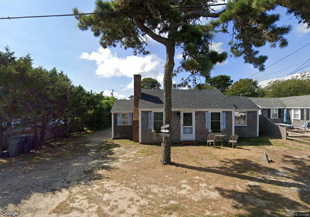
73 Ocean Dr Unit 2 Dennis Port, MA 02639
Dennis Port NeighborhoodEstimated Value: $946,000 - $1,076,000
--
Bed
--
Bath
881
Sq Ft
$1,160/Sq Ft
Est. Value
About This Home
This home is located at 73 Ocean Dr Unit 2, Dennis Port, MA 02639 and is currently estimated at $1,021,655, approximately $1,159 per square foot. 73 Ocean Dr Unit 2 is a home located in Barnstable County with nearby schools including Dennis-Yarmouth Regional High School and St. Pius X. School.
Ownership History
Date
Name
Owned For
Owner Type
Purchase Details
Closed on
Dec 2, 2020
Sold by
73 Occan Drive Rt and Tarentino
Bought by
Mccauley Steven and Mccauley Tinka
Current Estimated Value
Home Financials for this Owner
Home Financials are based on the most recent Mortgage that was taken out on this home.
Original Mortgage
$470,000
Outstanding Balance
$417,278
Interest Rate
2.8%
Mortgage Type
New Conventional
Estimated Equity
$604,377
Purchase Details
Closed on
Dec 8, 2015
Sold by
Oceans 73 Nt and Healy
Bought by
73 Ocean Drive Rt and Tarentino
Purchase Details
Closed on
Jun 6, 2008
Sold by
73 Ocean Drive Rt and Germann
Bought by
Oceans 73 Nt and Torretta
Home Financials for this Owner
Home Financials are based on the most recent Mortgage that was taken out on this home.
Original Mortgage
$360,000
Interest Rate
6.11%
Mortgage Type
Purchase Money Mortgage
Create a Home Valuation Report for This Property
The Home Valuation Report is an in-depth analysis detailing your home's value as well as a comparison with similar homes in the area
Home Values in the Area
Average Home Value in this Area
Purchase History
| Date | Buyer | Sale Price | Title Company |
|---|---|---|---|
| Mccauley Steven | $755,000 | None Available | |
| 73 Ocean Drive Rt | $465,000 | -- | |
| Oceans 73 Nt | $400,000 | -- | |
| Oceans 73 Nt | $400,000 | -- |
Source: Public Records
Mortgage History
| Date | Status | Borrower | Loan Amount |
|---|---|---|---|
| Open | Mccauley Steven | $470,000 | |
| Previous Owner | Oceans 73 Nt | $360,000 | |
| Closed | 73 Ocean Drive Rt | $0 |
Source: Public Records
Tax History Compared to Growth
Tax History
| Year | Tax Paid | Tax Assessment Tax Assessment Total Assessment is a certain percentage of the fair market value that is determined by local assessors to be the total taxable value of land and additions on the property. | Land | Improvement |
|---|---|---|---|---|
| 2025 | $3,548 | $819,300 | $310,500 | $508,800 |
| 2024 | $3,339 | $760,700 | $298,600 | $462,100 |
| 2023 | $3,231 | $691,800 | $271,500 | $420,300 |
| 2022 | $3,203 | $572,000 | $255,900 | $316,100 |
| 2021 | $2,985 | $495,100 | $250,900 | $244,200 |
| 2020 | $3,085 | $505,800 | $278,800 | $227,000 |
| 2019 | $3,023 | $490,000 | $273,300 | $216,700 |
| 2018 | $2,689 | $424,200 | $218,600 | $205,600 |
| 2017 | $2,594 | $421,800 | $218,600 | $203,200 |
| 2016 | $2,177 | $333,400 | $213,400 | $120,000 |
| 2015 | $2,134 | $333,400 | $213,400 | $120,000 |
| 2014 | $2,084 | $328,200 | $208,200 | $120,000 |
Source: Public Records
Map
Nearby Homes
- 10 Grindell Ave
- 112 Old Wharf Rd Unit E4
- 112 Old Wharf Rd Unit E1
- 37 Ocean Dr Unit 2
- 154 Old Wharf Rd Unit 26
- 154 Old Wharf Rd Unit 14
- 27 Mayflower Ln
- 230 Old Wharf Rd Unit 272
- 217 Old Wharf Rd Unit 64
- 6 Baker Way
- 241 Old Wharf Rd Unit 82
- 241 Old Wharf Rd Unit 127
- 262 Old Wharf Rd Unit 67
- 262 Old Wharf Rd Unit 5
- 262 Old Wharf Rd Unit 5
- 262 Old Wharf Rd Unit 87
- 37 Beach Hills Rd
- 18 Holiday Ln
- 37-A Beach Hills Rd
- 61 Trotters Ln