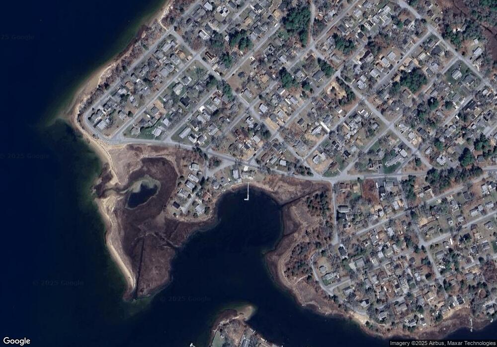
73 Parkwood Dr Wareham, MA 02571
Estimated Value: $750,000 - $918,000
3
Beds
2
Baths
2,002
Sq Ft
$427/Sq Ft
Est. Value
About This Home
This home is located at 73 Parkwood Dr, Wareham, MA 02571 and is currently estimated at $855,574, approximately $427 per square foot. 73 Parkwood Dr is a home located in Plymouth County.
Ownership History
Date
Name
Owned For
Owner Type
Purchase Details
Closed on
Oct 20, 2016
Sold by
Pinksten George L and Pinksten Rosemary E
Bought by
Windy Cove Llc
Current Estimated Value
Purchase Details
Closed on
Sep 12, 2005
Sold by
Leslie Wendy J and Bartlett Donald
Bought by
Pinksten George L and Pinksten Rosemary E
Home Financials for this Owner
Home Financials are based on the most recent Mortgage that was taken out on this home.
Original Mortgage
$356,000
Interest Rate
5.79%
Mortgage Type
Purchase Money Mortgage
Create a Home Valuation Report for This Property
The Home Valuation Report is an in-depth analysis detailing your home's value as well as a comparison with similar homes in the area
Home Values in the Area
Average Home Value in this Area
Purchase History
| Date | Buyer | Sale Price | Title Company |
|---|---|---|---|
| Windy Cove Llc | -- | -- | |
| Windy Cove Llc | -- | -- | |
| Pinksten George L | $705,000 | -- | |
| Pinksten George L | $705,000 | -- |
Source: Public Records
Mortgage History
| Date | Status | Borrower | Loan Amount |
|---|---|---|---|
| Previous Owner | Pinksten George L | $356,000 |
Source: Public Records
Tax History Compared to Growth
Tax History
| Year | Tax Paid | Tax Assessment Tax Assessment Total Assessment is a certain percentage of the fair market value that is determined by local assessors to be the total taxable value of land and additions on the property. | Land | Improvement |
|---|---|---|---|---|
| 2025 | $7,621 | $731,400 | $277,000 | $454,400 |
| 2024 | $7,570 | $674,100 | $202,900 | $471,200 |
| 2023 | $7,220 | $600,200 | $184,500 | $415,700 |
| 2022 | $6,801 | $516,000 | $184,500 | $331,500 |
| 2021 | $6,572 | $501,100 | $184,500 | $316,600 |
| 2020 | $6,448 | $486,300 | $184,500 | $301,800 |
| 2019 | $6,240 | $506,200 | $222,400 | $283,800 |
| 2018 | $6,234 | $457,400 | $222,400 | $235,000 |
| 2017 | $6,027 | $448,100 | $222,400 | $225,700 |
| 2016 | $6,148 | $454,400 | $242,700 | $211,700 |
| 2015 | $5,542 | $424,000 | $212,300 | $211,700 |
| 2014 | $5,253 | $408,800 | $212,300 | $196,500 |
Source: Public Records
Map
Nearby Homes