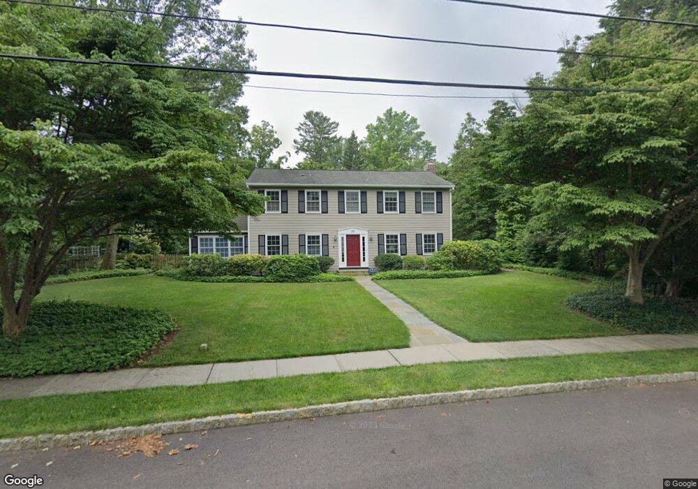
73 Philip Dr Princeton, NJ 08540
Estimated Value: $1,282,000 - $1,802,000
Studio
--
Bath
2,498
Sq Ft
$601/Sq Ft
Est. Value
About This Home
This home is located at 73 Philip Dr, Princeton, NJ 08540 and is currently estimated at $1,500,909, approximately $600 per square foot. 73 Philip Dr is a home located in Mercer County with nearby schools including Riverside Elementary School, Princeton Middle School, and Princeton High School.
Ownership History
Date
Name
Owned For
Owner Type
Purchase Details
Closed on
Aug 17, 1999
Sold by
Stouffer Bruce
Bought by
Spence Stephen and Spence Claudia
Current Estimated Value
Home Financials for this Owner
Home Financials are based on the most recent Mortgage that was taken out on this home.
Original Mortgage
$160,000
Outstanding Balance
$47,597
Interest Rate
8.1%
Estimated Equity
$1,453,312
Purchase Details
Closed on
Aug 31, 1994
Sold by
Crane Giles
Bought by
Stouffer Bruce and Souffer Tracy
Home Financials for this Owner
Home Financials are based on the most recent Mortgage that was taken out on this home.
Original Mortgage
$396,000
Interest Rate
8.54%
Create a Home Valuation Report for This Property
The Home Valuation Report is an in-depth analysis detailing your home's value as well as a comparison with similar homes in the area
Home Values in the Area
Average Home Value in this Area
Purchase History
| Date | Buyer | Sale Price | Title Company |
|---|---|---|---|
| Spence Stephen | $756,000 | -- | |
| Stouffer Bruce | $495,000 | -- |
Source: Public Records
Mortgage History
| Date | Status | Borrower | Loan Amount |
|---|---|---|---|
| Open | Spence Stephen | $160,000 | |
| Previous Owner | Stouffer Bruce | $396,000 |
Source: Public Records
Tax History
| Year | Tax Paid | Tax Assessment Tax Assessment Total Assessment is a certain percentage of the fair market value that is determined by local assessors to be the total taxable value of land and additions on the property. | Land | Improvement |
|---|---|---|---|---|
| 2025 | $23,661 | $888,500 | $557,000 | $331,500 |
| 2024 | $22,337 | $888,500 | $557,000 | $331,500 |
| 2023 | $22,337 | $888,500 | $557,000 | $331,500 |
| 2022 | $21,671 | $888,500 | $557,000 | $331,500 |
| 2021 | $21,671 | $888,500 | $557,000 | $331,500 |
| 2020 | $21,502 | $888,500 | $557,000 | $331,500 |
| 2019 | $20,878 | $880,200 | $557,000 | $323,200 |
| 2018 | $20,759 | $880,200 | $557,000 | $323,200 |
| 2017 | $20,759 | $880,200 | $557,000 | $323,200 |
| 2016 | $19,928 | $880,200 | $557,000 | $323,200 |
| 2015 | $18,034 | $815,300 | $507,000 | $308,300 |
| 2014 | $17,814 | $815,300 | $507,000 | $308,300 |
Source: Public Records
Map
Nearby Homes
- 59 Longview Dr
- 40 Dogwood Ln
- 505 Prospect Ave
- 175 Cedar Ln
- 300 Western Way
- 569 Riverside Dr
- 401 Sayre Dr
- 391 Nassau St Unit 2
- 48 Roper Rd
- 1 Markham Rd Unit 1D
- 45 Hedge Row Rd
- 47 Hedge Row Rd
- 62 Bainbridge St
- 32 Gordon Way Unit 2
- 1 Empress Ct
- 7 Gordon Way
- 4 Empress Ct
- 13 Hedge Row Rd
- 627 Sayre Dr
- 12 Cameron Ct
Your Personal Tour Guide
Ask me questions while you tour the home.