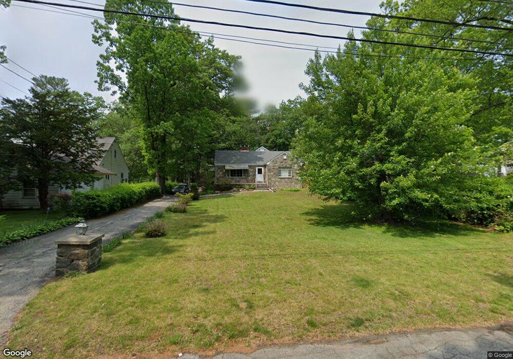
73 Pine Point Dr Bridgeport, CT 06606
North End NeighborhoodEstimated Value: $484,000 - $567,000
3
Beds
3
Baths
1,953
Sq Ft
$267/Sq Ft
Est. Value
About This Home
This home is located at 73 Pine Point Dr, Bridgeport, CT 06606 and is currently estimated at $521,051, approximately $266 per square foot. 73 Pine Point Dr is a home located in Fairfield County with nearby schools including Wilbur L. Cross Elementary School, Central High School, and Northeastern Adventist Academy - Fairfield County.
Ownership History
Date
Name
Owned For
Owner Type
Purchase Details
Closed on
Apr 1, 2009
Sold by
Aiello Rose C Est
Bought by
Rotzal Jason J
Current Estimated Value
Home Financials for this Owner
Home Financials are based on the most recent Mortgage that was taken out on this home.
Original Mortgage
$180,000
Interest Rate
4.92%
Create a Home Valuation Report for This Property
The Home Valuation Report is an in-depth analysis detailing your home's value as well as a comparison with similar homes in the area
Home Values in the Area
Average Home Value in this Area
Purchase History
| Date | Buyer | Sale Price | Title Company |
|---|---|---|---|
| Rotzal Jason J | $225,000 | -- | |
| Rotzal Jason J | $225,000 | -- |
Source: Public Records
Mortgage History
| Date | Status | Borrower | Loan Amount |
|---|---|---|---|
| Open | Rotzal Jason J | $204,000 | |
| Closed | Rotzal Jason J | $179,000 | |
| Closed | Rotzal Jason J | $180,000 |
Source: Public Records
Tax History
| Year | Tax Paid | Tax Assessment Tax Assessment Total Assessment is a certain percentage of the fair market value that is determined by local assessors to be the total taxable value of land and additions on the property. | Land | Improvement |
|---|---|---|---|---|
| 2025 | $9,263 | $213,177 | $92,637 | $120,540 |
| 2024 | $9,263 | $213,177 | $92,637 | $120,540 |
| 2023 | $9,263 | $213,177 | $92,637 | $120,540 |
| 2022 | $9,263 | $213,177 | $92,637 | $120,540 |
| 2021 | $9,263 | $213,177 | $92,637 | $120,540 |
| 2020 | $9,340 | $172,990 | $70,190 | $102,800 |
| 2019 | $9,340 | $172,990 | $70,190 | $102,800 |
| 2018 | $9,405 | $172,990 | $70,190 | $102,800 |
| 2017 | $9,405 | $172,990 | $70,190 | $102,800 |
| 2016 | $9,405 | $172,990 | $70,190 | $102,800 |
| 2015 | $9,007 | $213,430 | $79,660 | $133,770 |
| 2014 | $9,007 | $213,430 | $79,660 | $133,770 |
Source: Public Records
Map
Nearby Homes
- 563 Lakeside Dr
- 74 Village Ln
- 1376 Chopsey Hill Rd
- 1403 Old Town Rd Unit 1403
- 364 Griffin Ave
- 1320 Chopsey Hill Rd
- 11 Linda Dr
- 291 Frenchtown Rd
- 65 Clearview Dr
- 93 Oxford St Unit 95
- 26 Victory St
- 26 Karen Ct Unit A
- 45 Frenchtown Rd
- 82 Yaremich Dr
- 165 Yaremich Dr
- 114 Oxford St
- 65 Bonnie View Dr
- 70 Pleasantview Ave
- 274 Platt St
- 365 Platt St
- 85 Pine Point Dr
- 57 Pine Point Dr
- 45 Pine Point Dr
- 99 Pine Point Dr
- 25 Pine Point Dr
- 113 Pine Point Dr
- 56 Pine Point Dr
- 60 Woodbine Cir
- 86 Pine Point Dr
- 70 Pine Point Dr
- 70 Woodbine Cir
- 20 Woodbine Cir
- 100 Pine Point Dr
- 125 Pine Point Dr
- 15 Pine Point Dr
- 130 Pine Point Dr
- 82 Woodbine Cir
- 40 Pine Point Dr
- 10 Woodbine Cir
- 120 Pine Point Dr
Your Personal Tour Guide
Ask me questions while you tour the home.