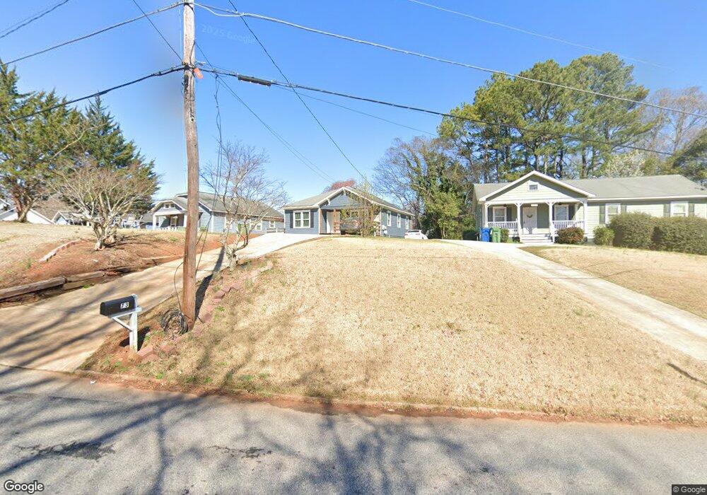
73 Polar Rock Rd SW Atlanta, GA 30315
Polar Rock NeighborhoodEstimated Value: $178,000 - $206,000
3
Beds
1
Bath
1,098
Sq Ft
$178/Sq Ft
Est. Value
About This Home
This home is located at 73 Polar Rock Rd SW, Atlanta, GA 30315 and is currently estimated at $195,264, approximately $177 per square foot. 73 Polar Rock Rd SW is a home located in Fulton County with nearby schools including Slater Elementary School, Price Middle School, and Carver High School.
Ownership History
Date
Name
Owned For
Owner Type
Purchase Details
Closed on
Oct 20, 2023
Sold by
Evolution Capital Llc
Bought by
All Reno Atl Llc
Current Estimated Value
Purchase Details
Closed on
Dec 17, 2020
Sold by
Star Homes Enterprises Llc
Bought by
Dumit Felipe
Home Financials for this Owner
Home Financials are based on the most recent Mortgage that was taken out on this home.
Original Mortgage
$82,500
Interest Rate
2.7%
Mortgage Type
New Conventional
Purchase Details
Closed on
Mar 3, 2020
Sold by
Bell Lolita N
Bought by
Star Homes Enterprises Llc
Create a Home Valuation Report for This Property
The Home Valuation Report is an in-depth analysis detailing your home's value as well as a comparison with similar homes in the area
Home Values in the Area
Average Home Value in this Area
Purchase History
| Date | Buyer | Sale Price | Title Company |
|---|---|---|---|
| All Reno Atl Llc | -- | -- | |
| Dumit Felipe | $122,500 | -- | |
| Star Homes Enterprises Llc | $99,500 | -- |
Source: Public Records
Mortgage History
| Date | Status | Borrower | Loan Amount |
|---|---|---|---|
| Previous Owner | Dumit Felipe | $82,500 |
Source: Public Records
Tax History Compared to Growth
Tax History
| Year | Tax Paid | Tax Assessment Tax Assessment Total Assessment is a certain percentage of the fair market value that is determined by local assessors to be the total taxable value of land and additions on the property. | Land | Improvement |
|---|---|---|---|---|
| 2025 | $2,932 | $91,920 | $35,160 | $56,760 |
| 2023 | $3,805 | $91,920 | $35,160 | $56,760 |
| 2022 | $3,225 | $79,680 | $14,760 | $64,920 |
| 2021 | $2,239 | $55,280 | $15,760 | $39,520 |
| 2020 | $440 | $44,280 | $7,400 | $36,880 |
| 2019 | $486 | $28,840 | $7,720 | $21,120 |
| 2018 | $33 | $15,600 | $1,400 | $14,200 |
| 2017 | $14 | $8,080 | $1,600 | $6,480 |
| 2016 | $14 | $8,080 | $1,600 | $6,480 |
| 2015 | $487 | $8,080 | $1,600 | $6,480 |
| 2014 | $13 | $8,080 | $1,600 | $6,480 |
Source: Public Records
Map
Nearby Homes
- 2159 Macon Dr SW
- 2150 Macon Dr SE
- 00 Lakewood Ave
- 193 Polar Rock Rd SW
- 0 Hilltop Dr SW Unit 10606623
- 2242 Polar Rock Place SW
- 2210 Polar Rock Ave SW
- 00 Swallow Cir SE
- 2240 Polar Rock Ave SW
- 0 Swallow Cir SE
- 97 Harper Rd SE
- 2456 Swallow Cir SE
- 0 Lakewood Way SW Unit 10606608
- 109 Lakewood Way SW
- 2318 Polar Rock Terrace SW
- 272 Hilltop Dr SW
- 2362 Macon Dr SW
- 2336 Polar Rock Ave SW
- 2218 Bagwell Dr SW
- 2187 Baywood Dr SE
- 77 Polar Rock Rd SW
- 81 Polar Rock Rd SW
- 55 Polar Rock Rd SW
- 86 Polar Rock Rd SW
- 86 Polar Rock Rd SW
- 64 Polar Rock Rd SW Unit 9
- 64 Polar Rock Rd SW
- 92 Polar Rock Rd SW
- 56 Polar Rock Rd SW
- 51 Polar Rock Rd SW
- 60 Polar Rock Rd SW
- 2141 Macon Dr SW
- 98 Polar Rock Rd SW
- 54 Polar Rock Rd SW
- 2145 Macon Dr SW
- 2151 Macon Dr SW
- 1782 Pecan Dr SW
- 2154 Lang Dr SW
- 111 Polar Rock Rd SW
- 0 Macon Dr SW Unit 10105615