73 Red Maple Ln Harpers Ferry, WV 25425
Estimated Value: $212,000 - $283,000
2
Beds
1
Bath
1,000
Sq Ft
$252/Sq Ft
Est. Value
About This Home
This home is located at 73 Red Maple Ln, Harpers Ferry, WV 25425 and is currently estimated at $251,767, approximately $251 per square foot. 73 Red Maple Ln is a home located in Jefferson County with nearby schools including Blue Ridge Elementary School, Harpers Ferry Middle School, and Washington High School.
Ownership History
Date
Name
Owned For
Owner Type
Purchase Details
Closed on
May 1, 2017
Sold by
Mills Laurie
Bought by
Williams Larry J
Current Estimated Value
Purchase Details
Closed on
Jul 15, 2015
Sold by
Fairrall Thomas Partick
Bought by
Mills Laurie
Purchase Details
Closed on
Mar 4, 2009
Sold by
The Bank Of New York
Bought by
Fairall Thomas Patrick
Home Financials for this Owner
Home Financials are based on the most recent Mortgage that was taken out on this home.
Original Mortgage
$62,500
Interest Rate
4.86%
Mortgage Type
Purchase Money Mortgage
Create a Home Valuation Report for This Property
The Home Valuation Report is an in-depth analysis detailing your home's value as well as a comparison with similar homes in the area
Home Values in the Area
Average Home Value in this Area
Purchase History
| Date | Buyer | Sale Price | Title Company |
|---|---|---|---|
| Williams Larry J | $32,500 | None Available | |
| Mills Laurie | $40,000 | None Available | |
| Fairall Thomas Patrick | $52,500 | None Available |
Source: Public Records
Mortgage History
| Date | Status | Borrower | Loan Amount |
|---|---|---|---|
| Previous Owner | Fairall Thomas Patrick | $62,500 |
Source: Public Records
Tax History Compared to Growth
Tax History
| Year | Tax Paid | Tax Assessment Tax Assessment Total Assessment is a certain percentage of the fair market value that is determined by local assessors to be the total taxable value of land and additions on the property. | Land | Improvement |
|---|---|---|---|---|
| 2025 | $1,827 | $78,600 | $34,800 | $43,800 |
| 2024 | $1,604 | $68,500 | $34,800 | $33,700 |
| 2023 | $1,135 | $48,600 | $14,900 | $33,700 |
| 2022 | $1,056 | $44,300 | $14,900 | $29,400 |
| 2021 | $1,006 | $41,400 | $14,900 | $26,500 |
| 2020 | $942 | $41,400 | $14,900 | $26,500 |
| 2019 | $983 | $42,400 | $14,900 | $27,500 |
| 2018 | $984 | $41,900 | $14,900 | $27,000 |
| 2017 | $987 | $42,000 | $14,900 | $27,100 |
| 2016 | $497 | $42,400 | $14,900 | $27,500 |
| 2015 | $478 | $40,600 | $14,900 | $25,700 |
| 2014 | $513 | $43,600 | $14,900 | $28,700 |
Source: Public Records
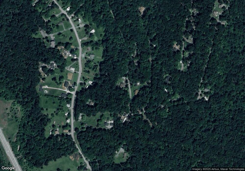
Map
Nearby Homes
- 0 Mill Stone Run
- Lot 17 Mill Stone Run
- Lots 20 & 21 Mill Stone Run
- 0 Red Maple Ln
- 139 River Valley View Dr
- Lots 76 & 77 Pink Bud Trail
- 0 Bear Run
- 155 White Fox Trail
- Lot 107 Smokey Bear Trail
- 0 Skyhawk Trail
- 168 New Harmony Ln
- 32 Middle Cross Trail
- 0 Camp Hill Ln
- 10 Campsite Trail
- 23 Heavenwood Ln
- 151 Scarlet Oak Dr
- 0 Estes Way
- 131 Chrissys Cir
- 13036 Sagle Rd
- 93 Old Sycamore Ln
- 54 Red Maple Ln
- 122 Red Maple Ln
- 144 Red Maple Ln Unit 1098
- 144 Red Maple Ln Unit 1098
- 144 Red Maple Ln Unit 1098
- 144 Red Maple Ln Unit 1098
- 144 Red Maple Ln Unit 1098
- 144 Red Maple Ln
- 532 Chestnut Hill Rd
- 496 Chestnut Hill Rd
- 408 Chestnut Hill Rd
- 41 Red Maple Ln
- 35 Mountain Top Trail
- 598 Chestnut Hill Rd
- 6 Hawks Nest Ln
- 583 Chestnut Hill Rd
- 156 Mill Stone Run
- 595 Chestnut Hill Rd
- 473 Chestnut Hill Rd
- 174 Mill Stone Run