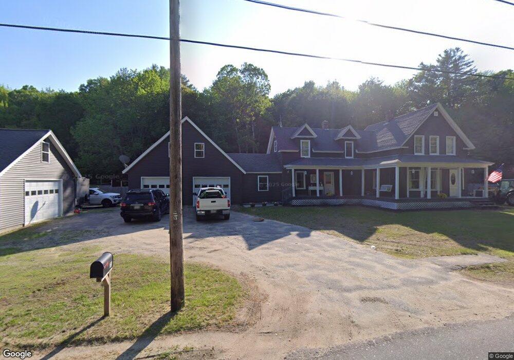
73 River Rd Livermore, ME 04253
Estimated Value: $223,000 - $371,000
--
Bed
--
Bath
965
Sq Ft
$291/Sq Ft
Est. Value
About This Home
This home is located at 73 River Rd, Livermore, ME 04253 and is currently estimated at $280,567, approximately $290 per square foot. 73 River Rd is a home with nearby schools including Spruce Mountain Primary School, Spruce Mountain Elementary School, and Spruce Mountain Middle School.
Ownership History
Date
Name
Owned For
Owner Type
Purchase Details
Closed on
May 18, 2021
Sold by
Oakes Donald M and Oakes Teresa L
Bought by
Brett Emille P and Brett Daniel H
Current Estimated Value
Home Financials for this Owner
Home Financials are based on the most recent Mortgage that was taken out on this home.
Original Mortgage
$150,000
Outstanding Balance
$135,358
Interest Rate
3.1%
Mortgage Type
Purchase Money Mortgage
Estimated Equity
$145,209
Create a Home Valuation Report for This Property
The Home Valuation Report is an in-depth analysis detailing your home's value as well as a comparison with similar homes in the area
Home Values in the Area
Average Home Value in this Area
Purchase History
| Date | Buyer | Sale Price | Title Company |
|---|---|---|---|
| Brett Emille P | -- | None Available |
Source: Public Records
Mortgage History
| Date | Status | Borrower | Loan Amount |
|---|---|---|---|
| Open | Brett Emille P | $150,000 |
Source: Public Records
Tax History Compared to Growth
Tax History
| Year | Tax Paid | Tax Assessment Tax Assessment Total Assessment is a certain percentage of the fair market value that is determined by local assessors to be the total taxable value of land and additions on the property. | Land | Improvement |
|---|---|---|---|---|
| 2025 | $3,782 | $200,105 | $34,550 | $165,555 |
| 2024 | $3,422 | $200,105 | $34,550 | $165,555 |
| 2023 | $3,252 | $200,105 | $34,550 | $165,555 |
| 2022 | $3,202 | $200,105 | $34,550 | $165,555 |
| 2021 | $3,202 | $200,105 | $34,550 | $165,555 |
| 2020 | $3,052 | $200,105 | $34,550 | $165,555 |
| 2019 | $2,190 | $134,788 | $30,550 | $104,238 |
| 2018 | $2,157 | $134,788 | $30,550 | $104,238 |
| 2017 | $2,211 | $134,788 | $30,550 | $104,238 |
| 2016 | $2,157 | $134,788 | $30,550 | $104,238 |
| 2015 | $2,157 | $134,788 | $30,550 | $104,238 |
| 2014 | $1,914 | $134,788 | $30,550 | $104,238 |
Source: Public Records
Map
Nearby Homes