73 Riveredge Rd North Billerica, MA 01862
Estimated Value: $718,733 - $790,000
3
Beds
3
Baths
1,588
Sq Ft
$473/Sq Ft
Est. Value
About This Home
This home is located at 73 Riveredge Rd, North Billerica, MA 01862 and is currently estimated at $751,433, approximately $473 per square foot. 73 Riveredge Rd is a home with nearby schools including Billerica Memorial High School.
Ownership History
Date
Name
Owned For
Owner Type
Purchase Details
Closed on
Jun 24, 2019
Sold by
93-9 Rt and Braucher
Bought by
Braucher Matthew R and Oneil Rachel M
Current Estimated Value
Home Financials for this Owner
Home Financials are based on the most recent Mortgage that was taken out on this home.
Original Mortgage
$330,000
Outstanding Balance
$288,952
Interest Rate
4%
Mortgage Type
New Conventional
Estimated Equity
$462,481
Purchase Details
Closed on
Feb 6, 1963
Bought by
Queensland Impt Assoc Inc
Create a Home Valuation Report for This Property
The Home Valuation Report is an in-depth analysis detailing your home's value as well as a comparison with similar homes in the area
Home Values in the Area
Average Home Value in this Area
Purchase History
| Date | Buyer | Sale Price | Title Company |
|---|---|---|---|
| Braucher Matthew R | -- | -- | |
| Queensland Impt Assoc Inc | -- | -- |
Source: Public Records
Mortgage History
| Date | Status | Borrower | Loan Amount |
|---|---|---|---|
| Open | Braucher Matthew R | $330,000 |
Source: Public Records
Tax History Compared to Growth
Tax History
| Year | Tax Paid | Tax Assessment Tax Assessment Total Assessment is a certain percentage of the fair market value that is determined by local assessors to be the total taxable value of land and additions on the property. | Land | Improvement |
|---|---|---|---|---|
| 2025 | $7,450 | $655,200 | $257,300 | $397,900 |
| 2024 | $7,192 | $637,000 | $241,200 | $395,800 |
| 2023 | $7,078 | $596,300 | $225,100 | $371,200 |
| 2022 | $6,343 | $501,800 | $193,000 | $308,800 |
| 2021 | $6,102 | $469,400 | $167,300 | $302,100 |
| 2020 | $6,013 | $462,900 | $160,800 | $302,100 |
| 2019 | $5,651 | $419,200 | $144,700 | $274,500 |
| 2018 | $1,872 | $131,900 | $131,900 | $0 |
| 2017 | $1,637 | $118,100 | $118,100 | $0 |
| 2016 | $1,637 | $115,800 | $115,800 | $0 |
| 2015 | $1,626 | $115,800 | $115,800 | $0 |
| 2014 | $1,439 | $100,700 | $100,700 | $0 |
Source: Public Records
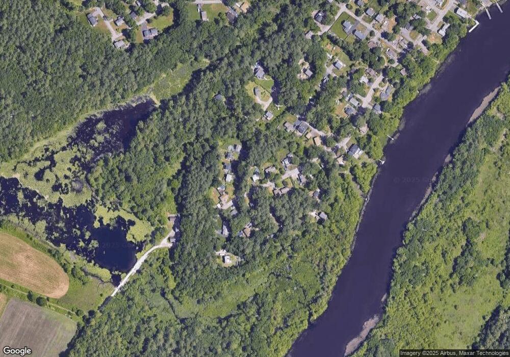
Map
Nearby Homes
- 6 Edgehill Rd
- 63 Outlook Rd
- 43 Outlook Rd
- 4 Dove Ln
- 198 Nashua Rd
- 7 Alder Way Unit 159
- 282 Brook St
- 383 E Riding Dr
- 7 Stonegate Ln Unit 134
- 125 Maple St
- 5 Chestnut Ln Unit 120
- 12 Springs Rd
- 11 Kay's Walk
- 332 North Rd
- 11 Simonds Farm Rd
- 267 Carlisle Rd
- 454 Middlesex Turnpike
- 463 Middlesex Turnpike
- 483 Middlesex Turnpike
- 481 Middlesex Turnpike