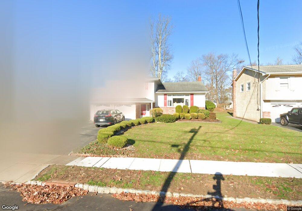
73 Roosevelt St Roseland, NJ 07068
Estimated Value: $794,000 - $855,397
--
Bed
--
Bath
1,952
Sq Ft
$420/Sq Ft
Est. Value
About This Home
This home is located at 73 Roosevelt St, Roseland, NJ 07068 and is currently estimated at $819,349, approximately $419 per square foot. 73 Roosevelt St is a home located in Essex County with nearby schools including Lester C. Noecker Elementary School, Elmwood Elementary School, and West Essex Middle School.
Ownership History
Date
Name
Owned For
Owner Type
Purchase Details
Closed on
Jun 11, 2024
Sold by
El-Sayed Mohamed E
Bought by
Curro Gina M
Current Estimated Value
Purchase Details
Closed on
Dec 1, 2021
Sold by
Curro Alba
Bought by
Curro Gina M and El Sayed Mohamed
Purchase Details
Closed on
Apr 29, 2020
Sold by
Curro Alba and Bellomo Ralph
Bought by
Curro Alba
Home Financials for this Owner
Home Financials are based on the most recent Mortgage that was taken out on this home.
Original Mortgage
$355,000
Interest Rate
3.5%
Mortgage Type
New Conventional
Purchase Details
Closed on
May 17, 2019
Sold by
Curro Alba and Bellomo Giovanna
Bought by
Curro Alba and Bellomo Ralph
Create a Home Valuation Report for This Property
The Home Valuation Report is an in-depth analysis detailing your home's value as well as a comparison with similar homes in the area
Home Values in the Area
Average Home Value in this Area
Purchase History
| Date | Buyer | Sale Price | Title Company |
|---|---|---|---|
| Curro Gina M | -- | None Listed On Document | |
| Curro Gina M | $540,000 | Max Title Agency Llc | |
| Curro Alba | $346,666 | Max Title Agency Llc | |
| Curro Alba | -- | -- |
Source: Public Records
Mortgage History
| Date | Status | Borrower | Loan Amount |
|---|---|---|---|
| Previous Owner | Curro Alba | $355,000 |
Source: Public Records
Tax History Compared to Growth
Tax History
| Year | Tax Paid | Tax Assessment Tax Assessment Total Assessment is a certain percentage of the fair market value that is determined by local assessors to be the total taxable value of land and additions on the property. | Land | Improvement |
|---|---|---|---|---|
| 2025 | $10,401 | $729,100 | $336,800 | $392,300 |
| 2024 | $10,401 | $729,100 | $336,800 | $392,300 |
| 2022 | $10,491 | $449,300 | $246,700 | $202,600 |
| 2021 | $10,347 | $449,300 | $246,700 | $202,600 |
| 2020 | $10,311 | $449,300 | $246,700 | $202,600 |
| 2019 | $10,217 | $449,300 | $246,700 | $202,600 |
| 2018 | $10,127 | $449,300 | $246,700 | $202,600 |
| 2017 | $10,123 | $449,300 | $246,700 | $202,600 |
| 2016 | $9,965 | $449,300 | $246,700 | $202,600 |
| 2015 | $9,988 | $449,300 | $246,700 | $202,600 |
| 2014 | $9,709 | $449,300 | $246,700 | $202,600 |
Source: Public Records
Map
Nearby Homes
- 9 Roseland Ave
- 27-29 Roseland Ave
- 34 Lincoln St
- 194 Eagle Rock Ave
- 331 Roseland Ave
- 201 Eagle Rock Ave
- 4 Williamsburg Dr
- 16 Livingston Ave
- 58 Leonard Terrace
- 14 Mitchell Ave
- 37 Dalewood Rd
- 5 Beechtree Ln
- 11 Monroe Ave
- 39 Schweinberg Dr Unit 2039
- 30 Schweinberg Dr
- 131 Rensselaer Rd
- 192 Eagle Rock Ave
- 326 Runnymede Rd
- 356 Fells Rd