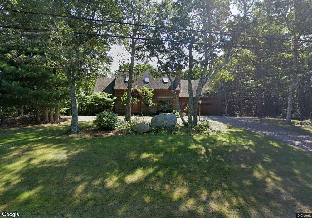
73 Setucket Rd Yarmouth Port, MA 02675
Yarmouth Port NeighborhoodEstimated Value: $892,279 - $1,036,000
4
Beds
3
Baths
2,234
Sq Ft
$427/Sq Ft
Est. Value
About This Home
This home is located at 73 Setucket Rd, Yarmouth Port, MA 02675 and is currently estimated at $954,820, approximately $427 per square foot. 73 Setucket Rd is a home located in Barnstable County with nearby schools including Dennis-Yarmouth Regional High School.
Ownership History
Date
Name
Owned For
Owner Type
Purchase Details
Closed on
Jan 11, 2016
Sold by
Mcisaac Kevin P
Bought by
Mcisaac T
Current Estimated Value
Purchase Details
Closed on
May 10, 2013
Sold by
Ragosa Mary M and Gallagher Mary T
Bought by
Davenport Rt
Create a Home Valuation Report for This Property
The Home Valuation Report is an in-depth analysis detailing your home's value as well as a comparison with similar homes in the area
Home Values in the Area
Average Home Value in this Area
Purchase History
| Date | Buyer | Sale Price | Title Company |
|---|---|---|---|
| Mcisaac T | -- | -- | |
| Davenport Rt | $240,000 | -- |
Source: Public Records
Tax History Compared to Growth
Tax History
| Year | Tax Paid | Tax Assessment Tax Assessment Total Assessment is a certain percentage of the fair market value that is determined by local assessors to be the total taxable value of land and additions on the property. | Land | Improvement |
|---|---|---|---|---|
| 2025 | $6,676 | $943,000 | $150,800 | $792,200 |
| 2024 | $6,529 | $884,700 | $158,900 | $725,800 |
| 2023 | $6,627 | $817,100 | $141,600 | $675,500 |
| 2022 | $5,279 | $575,000 | $127,300 | $447,700 |
| 2021 | $4,731 | $494,900 | $127,300 | $367,600 |
| 2020 | $4,787 | $478,700 | $127,200 | $351,500 |
| 2019 | $4,544 | $449,900 | $127,200 | $322,700 |
| 2018 | $4,388 | $426,400 | $103,700 | $322,700 |
| 2017 | $4,273 | $426,400 | $103,700 | $322,700 |
| 2016 | $4,161 | $416,900 | $94,200 | $322,700 |
| 2015 | $4,593 | $457,500 | $94,200 | $363,300 |
Source: Public Records
Map
Nearby Homes
- 6 Nimble Hill Dr
- 44 Stratford Ln
- 64 Kates Path
- 59 Main St Unit 19-2
- 59 Route 6a Unit 29-4
- 43 Canterbury Rd
- 34 Kates Path
- 34 Kates Path Unit 34
- 111 Merchant Ave
- 13 Covey Dr
- 86 Pompano Rd
- 17 Kates Path Unit A
- 228 Kates Path
- 51 Bray Farm Rd N
- 42 John Hall Cartway Unit 42
- 50 John Hall Cartway
- 50 John Hall Cartway Unit 50
- 25 Oak Glen Village Unit 25
- 25 Oak Glen
- 7 Forest Gate Unit 7