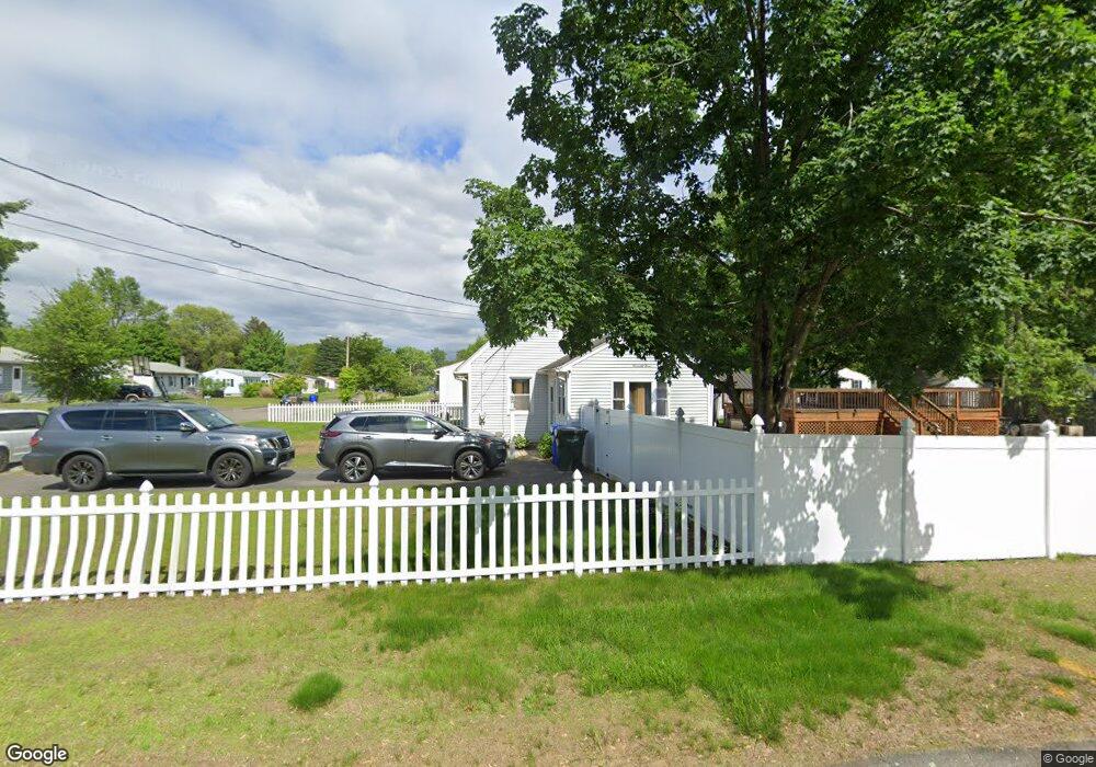
73 Sparrow Dr Springfield, MA 01119
Sixteen Acres NeighborhoodEstimated Value: $321,254 - $338,000
4
Beds
2
Baths
1,470
Sq Ft
$226/Sq Ft
Est. Value
About This Home
This home is located at 73 Sparrow Dr, Springfield, MA 01119 and is currently estimated at $331,814, approximately $225 per square foot. 73 Sparrow Dr is a home located in Hampden County with nearby schools including Mary M. Lynch Elementary School, John J Duggan Middle, and Springfield Central High School.
Ownership History
Date
Name
Owned For
Owner Type
Purchase Details
Closed on
May 15, 2000
Sold by
Choi Jin Young and Choi Lamthiane
Bought by
Mack Clifton E and Mack Glenda L
Current Estimated Value
Home Financials for this Owner
Home Financials are based on the most recent Mortgage that was taken out on this home.
Original Mortgage
$97,600
Outstanding Balance
$33,888
Interest Rate
8.21%
Mortgage Type
Purchase Money Mortgage
Estimated Equity
$297,926
Purchase Details
Closed on
Aug 14, 1990
Sold by
Choi Eun B
Bought by
Choi Jin Y
Create a Home Valuation Report for This Property
The Home Valuation Report is an in-depth analysis detailing your home's value as well as a comparison with similar homes in the area
Home Values in the Area
Average Home Value in this Area
Purchase History
| Date | Buyer | Sale Price | Title Company |
|---|---|---|---|
| Mack Clifton E | $102,750 | -- | |
| Choi Jin Y | $106,000 | -- |
Source: Public Records
Mortgage History
| Date | Status | Borrower | Loan Amount |
|---|---|---|---|
| Open | Choi Jin Y | $97,600 | |
| Previous Owner | Choi Jin Y | $83,200 | |
| Previous Owner | Choi Jin Y | $71,250 |
Source: Public Records
Tax History Compared to Growth
Tax History
| Year | Tax Paid | Tax Assessment Tax Assessment Total Assessment is a certain percentage of the fair market value that is determined by local assessors to be the total taxable value of land and additions on the property. | Land | Improvement |
|---|---|---|---|---|
| 2025 | $4,022 | $256,500 | $52,400 | $204,100 |
| 2024 | $3,951 | $246,000 | $52,400 | $193,600 |
| 2023 | $3,812 | $223,600 | $49,900 | $173,700 |
| 2022 | $3,501 | $186,000 | $49,900 | $136,100 |
| 2021 | $3,321 | $175,700 | $45,300 | $130,400 |
| 2020 | $3,183 | $163,000 | $45,300 | $117,700 |
| 2019 | $3,054 | $155,200 | $45,300 | $109,900 |
| 2018 | $3,052 | $155,100 | $45,300 | $109,800 |
| 2017 | $3,071 | $156,200 | $45,200 | $111,000 |
| 2016 | $2,794 | $142,100 | $45,200 | $96,900 |
| 2015 | $2,801 | $142,400 | $45,200 | $97,200 |
Source: Public Records
Map
Nearby Homes
- 6 Sparrow Dr
- 21 Meadowlark Ln
- 35 Juniper Dr
- 381 N Brook Rd
- 98 Granger St
- 156 Gardens Dr
- 73 Catalpa Terrace
- 222 Bolton St
- 55 Woodrow St
- 13 Granger St
- 195 Almira Rd
- 74 Blanche St
- 57 Brewster St
- 64 Wilmington St
- 110 Lamplighter Ln Unit C
- 908 Parker St
- 15 Burns Ave
- 78 Pioneer Way
- 188 Gilbert Ave
- 1130 Parker St
- 16 Partridge Dr
- 61 Sparrow Dr
- 14 Starling Rd
- 78 Sparrow Dr
- 68 Sparrow Dr
- 89 Sparrow Dr
- 24 Partridge Dr
- 15 Partridge Dr
- 86 Sparrow Dr
- 24 Starling Rd
- 58 Sparrow Dr
- 23 Partridge Dr
- 32 Partridge Dr
- 96 Sparrow Dr
- 83 Pidgeon Dr
- 73 Pidgeon Dr
- 0 Rear Gatewood Rd Unit 71328170
- 0 Rear Gatewood Rd Unit 71473798
- 50 Sparrow Dr
- 32 Starling Rd