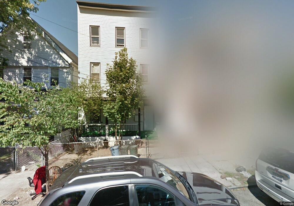
73 Taft Ave Staten Island, NY 10301
New Brighton NeighborhoodEstimated Value: $582,000 - $864,000
--
Bed
--
Bath
2,070
Sq Ft
$353/Sq Ft
Est. Value
About This Home
This home is located at 73 Taft Ave, Staten Island, NY 10301 and is currently estimated at $731,333, approximately $353 per square foot. 73 Taft Ave is a home located in Richmond County with nearby schools including P.S. 31 - William T. Davis, Is 61 William A Morris, and Curtis High School.
Ownership History
Date
Name
Owned For
Owner Type
Purchase Details
Closed on
Jul 7, 2025
Sold by
Okocha Grace N
Bought by
Okocha Family Trust and Okocha
Current Estimated Value
Purchase Details
Closed on
Nov 21, 2000
Sold by
Ricca Joseph
Bought by
Okocha Grace N
Home Financials for this Owner
Home Financials are based on the most recent Mortgage that was taken out on this home.
Original Mortgage
$176,400
Interest Rate
7.69%
Create a Home Valuation Report for This Property
The Home Valuation Report is an in-depth analysis detailing your home's value as well as a comparison with similar homes in the area
Home Values in the Area
Average Home Value in this Area
Purchase History
| Date | Buyer | Sale Price | Title Company |
|---|---|---|---|
| Okocha Family Trust | -- | None Listed On Document | |
| Okocha Grace N | $196,000 | -- |
Source: Public Records
Mortgage History
| Date | Status | Borrower | Loan Amount |
|---|---|---|---|
| Previous Owner | Okocha Grace N | $176,400 |
Source: Public Records
Tax History Compared to Growth
Tax History
| Year | Tax Paid | Tax Assessment Tax Assessment Total Assessment is a certain percentage of the fair market value that is determined by local assessors to be the total taxable value of land and additions on the property. | Land | Improvement |
|---|---|---|---|---|
| 2025 | $4,522 | $30,000 | $6,731 | $23,269 |
| 2024 | $4,522 | $27,900 | $7,117 | $20,783 |
| 2023 | $4,314 | $21,240 | $6,424 | $14,816 |
| 2022 | $4,240 | $24,000 | $8,820 | $15,180 |
| 2021 | $4,256 | $22,680 | $8,820 | $13,860 |
| 2020 | $4,052 | $25,080 | $8,820 | $16,260 |
| 2019 | $5,366 | $22,860 | $8,820 | $14,040 |
| 2018 | $3,608 | $17,700 | $8,820 | $8,880 |
| 2017 | $3,642 | $17,865 | $7,770 | $10,095 |
| 2016 | $3,369 | $16,854 | $8,398 | $8,456 |
| 2015 | $3,051 | $15,900 | $8,400 | $7,500 |
| 2014 | $3,051 | $15,900 | $8,400 | $7,500 |
Source: Public Records
Map
Nearby Homes
- 75 Taft Ave
- 118 Hendricks Ave
- 181 Benziger Ave
- 93 Taft Ave
- 138 Hendricks Ave
- 301 Westervelt Ave
- 102 Winter Ave
- 12 Pauw St
- 344 Westervelt Ave
- 203 York Ave
- 61 York Ave
- 20 Winter Ave
- 135 Highview Ave
- 19 Scribner Ave
- 32 Scribner Ave
- 416 Westervelt Ave
- 31 Crescent Ave
- 192 Corson Ave
- 0 Van Tuyl St
- 165 Daniel Low Terrace