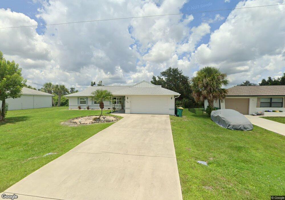
73 Theresa Blvd Port Charlotte, FL 33954
Estimated Value: $224,000 - $378,056
3
Beds
2
Baths
1,878
Sq Ft
$170/Sq Ft
Est. Value
About This Home
This home is located at 73 Theresa Blvd, Port Charlotte, FL 33954 and is currently estimated at $318,764, approximately $169 per square foot. 73 Theresa Blvd is a home located in Charlotte County with nearby schools including Liberty Elementary School, Murdock Middle School, and Port Charlotte High School.
Ownership History
Date
Name
Owned For
Owner Type
Purchase Details
Closed on
Oct 28, 2021
Sold by
Barlow Bruce C
Bought by
Barlow Bruce C and Barlow Tami M
Current Estimated Value
Purchase Details
Closed on
Oct 15, 2018
Sold by
Barlow Bruce C and Barlow Tammy M
Bought by
Barlow Burce C
Purchase Details
Closed on
Jul 11, 1998
Sold by
Thenor Gislaine and Perpignand Germaine
Bought by
Barlow Bruce C
Home Financials for this Owner
Home Financials are based on the most recent Mortgage that was taken out on this home.
Original Mortgage
$69,530
Outstanding Balance
$14,254
Interest Rate
7.02%
Mortgage Type
FHA
Estimated Equity
$304,510
Create a Home Valuation Report for This Property
The Home Valuation Report is an in-depth analysis detailing your home's value as well as a comparison with similar homes in the area
Home Values in the Area
Average Home Value in this Area
Purchase History
| Date | Buyer | Sale Price | Title Company |
|---|---|---|---|
| Barlow Bruce C | -- | Accommodation | |
| Barlow Burce C | -- | Attorney | |
| Barlow Bruce C | $70,000 | -- |
Source: Public Records
Mortgage History
| Date | Status | Borrower | Loan Amount |
|---|---|---|---|
| Open | Barlow Bruce C | $69,530 |
Source: Public Records
Tax History Compared to Growth
Tax History
| Year | Tax Paid | Tax Assessment Tax Assessment Total Assessment is a certain percentage of the fair market value that is determined by local assessors to be the total taxable value of land and additions on the property. | Land | Improvement |
|---|---|---|---|---|
| 2023 | $2,949 | $153,843 | $0 | $0 |
| 2022 | $2,818 | $149,362 | $0 | $0 |
| 2021 | $2,808 | $145,012 | $0 | $0 |
| 2020 | $2,735 | $143,010 | $0 | $0 |
| 2019 | $1,492 | $78,040 | $0 | $0 |
| 2018 | $1,066 | $71,380 | $0 | $0 |
| 2017 | $1,062 | $69,912 | $0 | $0 |
| 2016 | $1,061 | $68,474 | $0 | $0 |
| 2015 | $1,046 | $67,998 | $0 | $0 |
| 2014 | $1,027 | $67,458 | $0 | $0 |
Source: Public Records
Map
Nearby Homes
- 147 Flanders St
- 51 Denver Dr
- 100 Flanders St
- 106 Seagrape St
- 108 Denver Dr
- 127 Sterling St
- 150 Sterling St
- 100 Denver Dr
- 236 Denver Dr
- 188 Denver Dr
- 256 Pelton Cir
- 147 Seagrape St
- 20053 Armstrong Ave
- 49 Logan St
- 25 Logan St
- 302 Santa Marta St
- 115 Santa Marta St
- 20215 Hillsborough Blvd
- 17 Ferdon Cir
- 177 Theresa Blvd
- 81 Theresa Blvd
- 65 Theresa Blvd
- 89 Theresa Blvd
- 66 Flanders St
- 49 Theresa Blvd
- 42 Pelton Cir
- 21304 Hawthorne Ave
- 21312 Hawthorne Ave
- 19212 Roosevelt
- 131/141 Algonquin Null St
- 41 Theresa Blvd
- 67 Seagrape St
- 21 Twig Ct
- 26 Pelton Cir
- 19457 Hillsborough Blvd
- 12 Twig Ct
- 113 Theresa Blvd
- 33 Theresa Blvd
- 83 Seagrape St
- 58 Pelton Cir