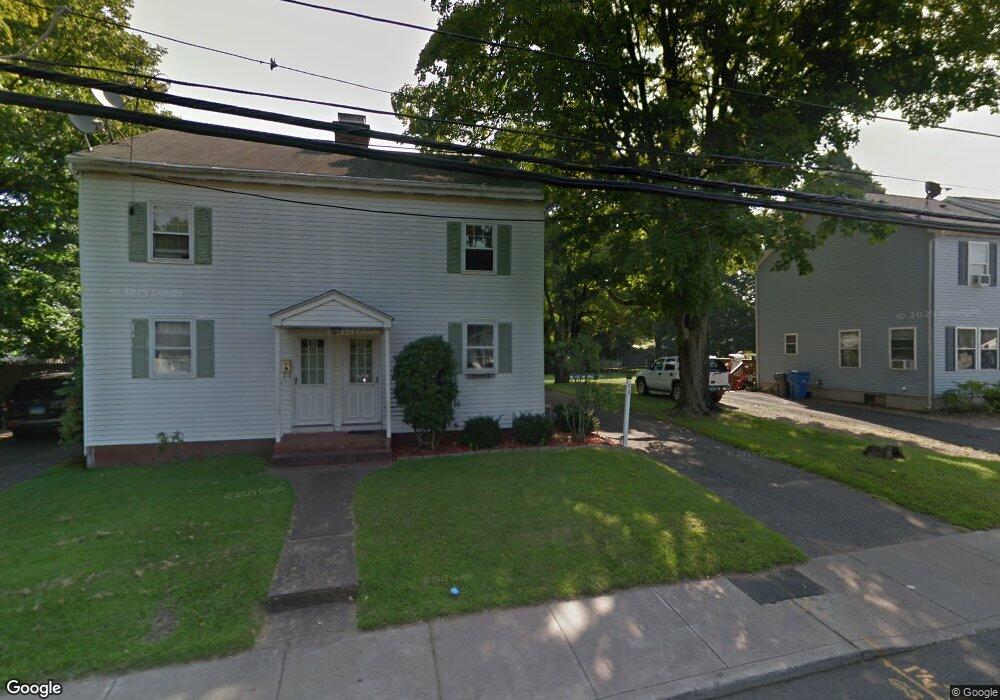
73 Union St Unit A Manchester, CT 06042
Robertson NeighborhoodEstimated Value: $170,000 - $263,000
2
Beds
2
Baths
986
Sq Ft
$209/Sq Ft
Est. Value
About This Home
This home is located at 73 Union St Unit A, Manchester, CT 06042 and is currently estimated at $205,736, approximately $208 per square foot. 73 Union St Unit A is a home located in Hartford County with nearby schools including Robertson School, Illing Middle School, and Elisabeth M. Bennet Academy.
Ownership History
Date
Name
Owned For
Owner Type
Purchase Details
Closed on
Mar 9, 2006
Sold by
Maurus Melinda
Bought by
Lundy Courtney P
Current Estimated Value
Home Financials for this Owner
Home Financials are based on the most recent Mortgage that was taken out on this home.
Original Mortgage
$108,300
Outstanding Balance
$61,134
Interest Rate
6.15%
Mortgage Type
Purchase Money Mortgage
Estimated Equity
$144,602
Purchase Details
Closed on
Jan 26, 1999
Sold by
Fnma
Bought by
Maurus Melinda
Create a Home Valuation Report for This Property
The Home Valuation Report is an in-depth analysis detailing your home's value as well as a comparison with similar homes in the area
Home Values in the Area
Average Home Value in this Area
Purchase History
| Date | Buyer | Sale Price | Title Company |
|---|---|---|---|
| Lundy Courtney P | $110,000 | -- | |
| Lundy Courtney P | $110,000 | -- | |
| Maurus Melinda | $41,000 | -- | |
| Maurus Melinda | $41,000 | -- |
Source: Public Records
Mortgage History
| Date | Status | Borrower | Loan Amount |
|---|---|---|---|
| Open | Maurus Melinda | $108,300 | |
| Closed | Maurus Melinda | $4,000 | |
| Closed | Maurus Melinda | $108,300 |
Source: Public Records
Tax History Compared to Growth
Tax History
| Year | Tax Paid | Tax Assessment Tax Assessment Total Assessment is a certain percentage of the fair market value that is determined by local assessors to be the total taxable value of land and additions on the property. | Land | Improvement |
|---|---|---|---|---|
| 2025 | $2,895 | $72,700 | $0 | $72,700 |
| 2024 | $2,812 | $72,700 | $0 | $72,700 |
| 2023 | $2,704 | $72,700 | $0 | $72,700 |
| 2022 | $2,651 | $72,700 | $0 | $72,700 |
| 2021 | $2,133 | $58,400 | $0 | $58,400 |
| 2020 | $2,133 | $58,400 | $0 | $58,400 |
| 2019 | $2,133 | $58,400 | $0 | $58,400 |
| 2018 | $2,091 | $58,400 | $0 | $58,400 |
| 2017 | $2,035 | $58,400 | $0 | $58,400 |
| 2016 | $2,419 | $69,400 | $0 | $69,400 |
| 2015 | $2,407 | $69,400 | $0 | $69,400 |
| 2014 | $2,360 | $69,400 | $0 | $69,400 |
Source: Public Records
Map
Nearby Homes
- 74 North St
- 50 North St
- 99 Union St
- 15 Stock Place
- 21 Chatsworth Ct
- 23 Chatsworth Ct
- 244 Oakland St Unit E
- 244 Oakland St Unit H
- 75 Gianna Dr Unit 75
- 486 Tolland Turnpike
- 74 Westerly St
- 80 Westerly St
- 86 Westerly St
- 213 Oakland St Unit D
- 92 Westerly St
- 40 Grove St Unit B
- 13 Oak Forest Dr Unit 6
- 205 Homestead St Unit B2
- 34 Donahue Ln Unit 34
- 186 Irving St