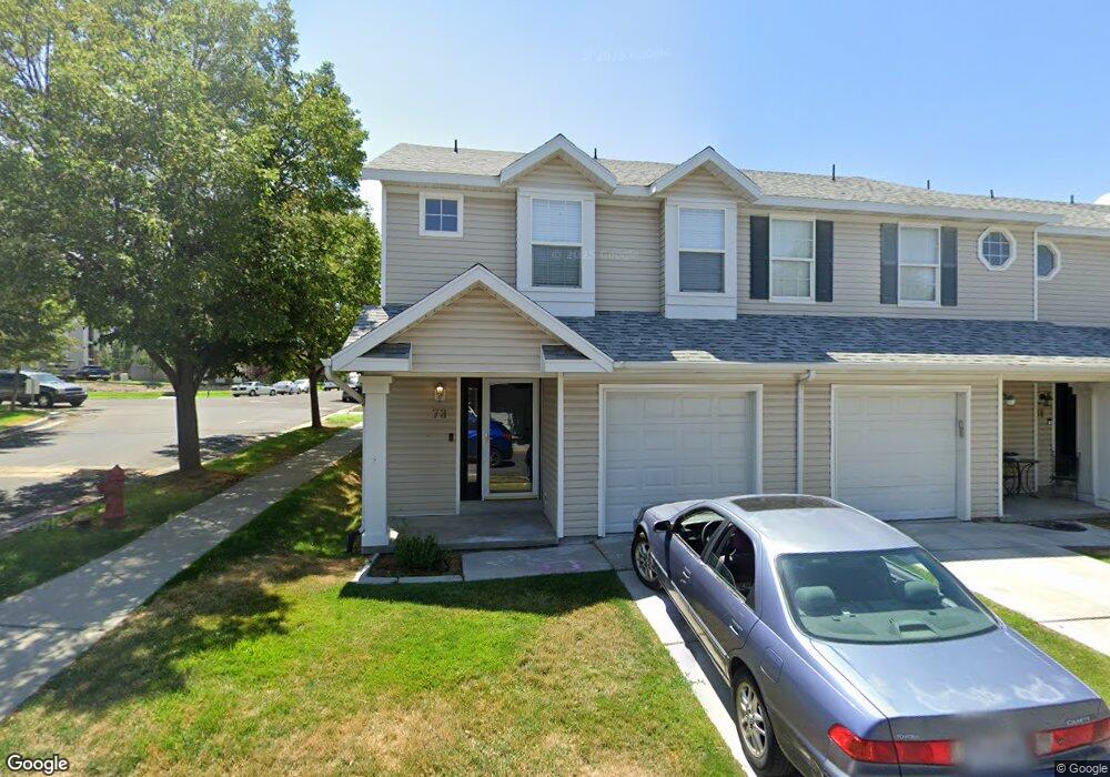
73 W 1930 N Tooele, UT 84074
Estimated Value: $297,000 - $313,000
3
Beds
2
Baths
1,295
Sq Ft
$237/Sq Ft
Est. Value
About This Home
This home is located at 73 W 1930 N, Tooele, UT 84074 and is currently estimated at $306,798, approximately $236 per square foot. 73 W 1930 N is a home located in Tooele County with nearby schools including Overlake Elementary School, Clarke N. Johnsen Junior High School, and Stansbury High School.
Ownership History
Date
Name
Owned For
Owner Type
Purchase Details
Closed on
Feb 27, 2018
Sold by
Randazzo James
Bought by
Oh Tyler Enterprises Llc
Current Estimated Value
Purchase Details
Closed on
Aug 23, 2006
Sold by
Pollock Amy C and Pollock Richard
Bought by
Randazzo James and Randazzo Linda Martin
Home Financials for this Owner
Home Financials are based on the most recent Mortgage that was taken out on this home.
Original Mortgage
$110,000
Interest Rate
6.7%
Mortgage Type
VA
Create a Home Valuation Report for This Property
The Home Valuation Report is an in-depth analysis detailing your home's value as well as a comparison with similar homes in the area
Home Values in the Area
Average Home Value in this Area
Purchase History
| Date | Buyer | Sale Price | Title Company |
|---|---|---|---|
| Oh Tyler Enterprises Llc | -- | Inwest Title Tooele Office | |
| Randazzo James | -- | First American Title Agency |
Source: Public Records
Mortgage History
| Date | Status | Borrower | Loan Amount |
|---|---|---|---|
| Previous Owner | Randazzo James | $110,000 |
Source: Public Records
Tax History Compared to Growth
Tax History
| Year | Tax Paid | Tax Assessment Tax Assessment Total Assessment is a certain percentage of the fair market value that is determined by local assessors to be the total taxable value of land and additions on the property. | Land | Improvement |
|---|---|---|---|---|
| 2025 | $2,032 | $297,825 | $73,000 | $224,825 |
| 2024 | $2,181 | $161,268 | $55,000 | $106,268 |
| 2023 | $2,181 | $152,740 | $36,300 | $116,440 |
| 2022 | $1,396 | $115,329 | $41,250 | $74,079 |
| 2021 | $1,563 | $107,373 | $13,750 | $93,623 |
| 2020 | $1,474 | $178,354 | $25,000 | $153,354 |
| 2019 | $1,220 | $146,164 | $17,284 | $128,880 |
| 2018 | $1,036 | $118,104 | $15,000 | $103,104 |
| 2017 | $807 | $108,731 | $15,000 | $93,731 |
| 2016 | $806 | $53,078 | $8,250 | $44,828 |
| 2015 | $806 | $57,183 | $0 | $0 |
| 2014 | -- | $46,544 | $0 | $0 |
Source: Public Records
Map
Nearby Homes
- 69 1930 N
- 81 W 1930 N
- 1909 N 70 W
- 1893 N 70 W
- 1893 N 70 W Unit 620
- 1885 N 70 W Unit 619
- 1877 N 70 W Unit 618
- 1861 N 70 W Unit 616
- 2057 N Loxley Dr
- Drysdale Twinhomes Plan at Drysdale Twinhomes
- 2065 N Loxley Dr
- 1969 N 270 W
- 1778 Brett St
- 2117 N 170 W
- 2177 N 130 W
- 2155 N 170 W
- 61 W 1570 N
- 1913 N 370 W
- 535 W 2030 N Unit 23
- 94 E Broxburn Way