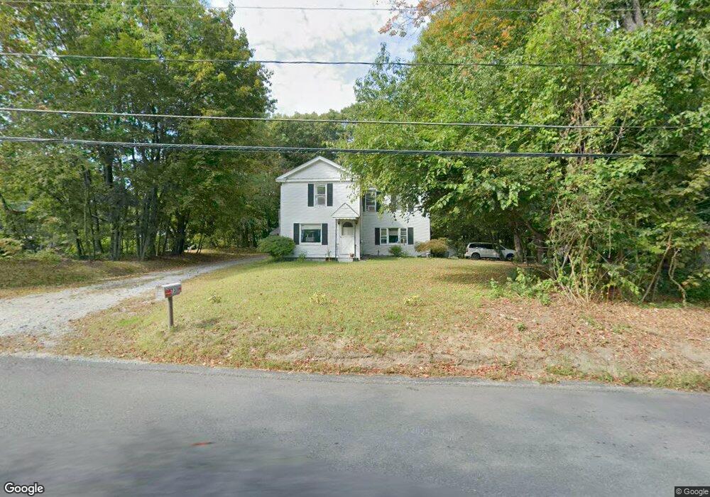
73 W Townsend Rd Lunenburg, MA 01462
Estimated Value: $456,000 - $519,000
4
Beds
1
Bath
1,820
Sq Ft
$268/Sq Ft
Est. Value
About This Home
This home is located at 73 W Townsend Rd, Lunenburg, MA 01462 and is currently estimated at $488,418, approximately $268 per square foot. 73 W Townsend Rd is a home located in Worcester County with nearby schools including Lunenburg Primary School, Lunenburg High School, and St Bernards Elementary School.
Ownership History
Date
Name
Owned For
Owner Type
Purchase Details
Closed on
May 14, 1999
Sold by
Brosseau Barbara
Bought by
Parmeneter David L and Parmenter Marlene M
Current Estimated Value
Home Financials for this Owner
Home Financials are based on the most recent Mortgage that was taken out on this home.
Original Mortgage
$115,900
Outstanding Balance
$29,649
Interest Rate
6.92%
Mortgage Type
Purchase Money Mortgage
Estimated Equity
$458,769
Create a Home Valuation Report for This Property
The Home Valuation Report is an in-depth analysis detailing your home's value as well as a comparison with similar homes in the area
Home Values in the Area
Average Home Value in this Area
Purchase History
| Date | Buyer | Sale Price | Title Company |
|---|---|---|---|
| Parmeneter David L | $122,000 | -- |
Source: Public Records
Mortgage History
| Date | Status | Borrower | Loan Amount |
|---|---|---|---|
| Open | Parmeneter David L | $115,900 |
Source: Public Records
Tax History Compared to Growth
Tax History
| Year | Tax Paid | Tax Assessment Tax Assessment Total Assessment is a certain percentage of the fair market value that is determined by local assessors to be the total taxable value of land and additions on the property. | Land | Improvement |
|---|---|---|---|---|
| 2025 | $5,549 | $386,400 | $140,000 | $246,400 |
| 2024 | $5,185 | $367,700 | $132,000 | $235,700 |
| 2023 | $5,200 | $355,700 | $120,000 | $235,700 |
| 2022 | $4,275 | $248,700 | $100,000 | $148,700 |
| 2020 | $4,349 | $240,000 | $100,000 | $140,000 |
| 2019 | $4,179 | $223,700 | $94,200 | $129,500 |
| 2018 | $0 | $211,800 | $94,200 | $117,600 |
| 2017 | $4,068 | $203,600 | $90,100 | $113,500 |
| 2016 | $3,836 | $195,600 | $85,700 | $109,900 |
| 2015 | $3,446 | $188,100 | $81,300 | $106,800 |
Source: Public Records
Map
Nearby Homes
- 759 Northfield Rd
- 756 Northfield Rd
- 507/533R W Townsend Rd
- 691 Chase Rd
- 12 W Townsend Rd
- 319 Highland St
- 63 Holman St
- 711 Massachusetts Ave Unit 2
- 711 Massachusetts Ave Unit 4
- 481 W Townsend Rd
- 130 Gilchrest St
- 1083 Northfield Rd
- 8 Country Rd
- 6 Riley Rd Unit 6
- 830 Massachusetts Ave
- 9 Sequoia Dr
- 1178 Northfield Rd
- 73 Royal Fern Dr
- 77 Electric Ave
- 41 White St
- 78 W Townsend Rd
- 444 Chase Rd
- 63 W Townsend Rd
- 64 W Townsend Rd
- 410 Chase Rd
- 88 W Townsend Rd
- 60 W Townsend Rd
- Lot C Chase Rd
- 431 Chase Rd
- 90 W Townsend Rd
- 43 W Townsend Rd
- 408 Chase Rd
- 463 Chase Rd
- 112 W Townsend Rd
- 80 W Townsend Rd
- 110 W Townsend Rd
- 480 Chase Rd
- 84 W Townsend Rd
- 477 Chase Rd
- 19 W Townsend Rd