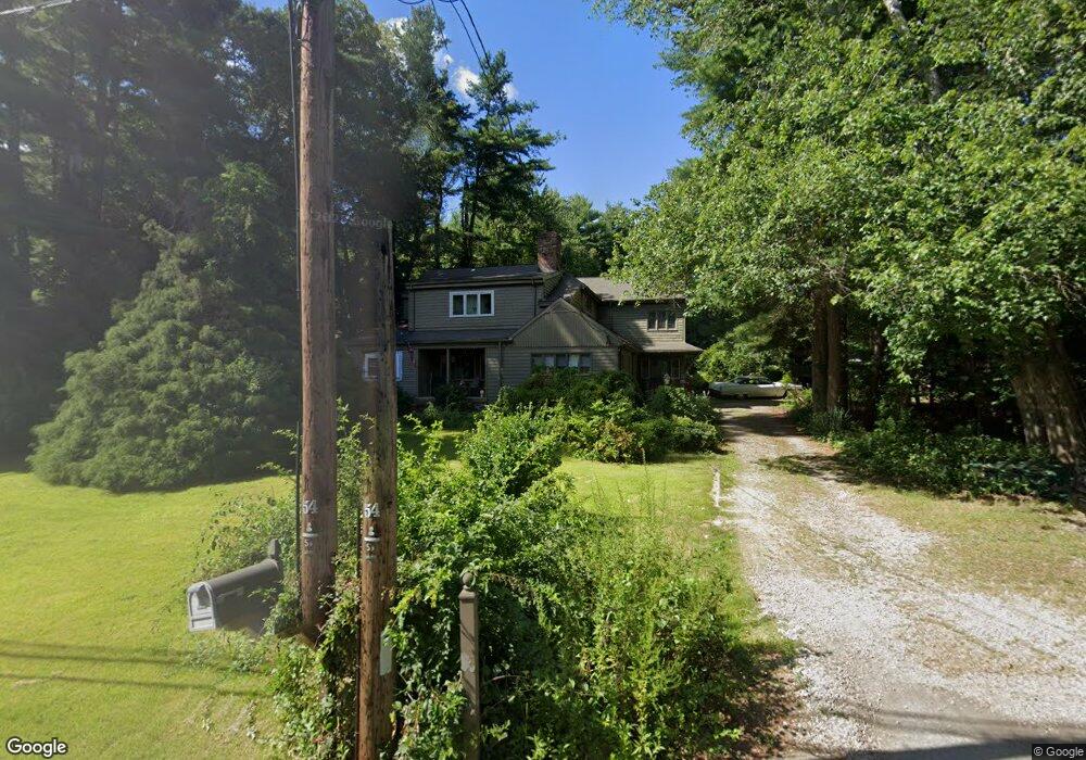
73 Water St Hanover, MA 02339
Estimated Value: $787,266 - $883,000
4
Beds
3
Baths
2,749
Sq Ft
$305/Sq Ft
Est. Value
About This Home
This home is located at 73 Water St, Hanover, MA 02339 and is currently estimated at $837,567, approximately $304 per square foot. 73 Water St is a home located in Plymouth County with nearby schools including Hanover High School, Cadence Academy Preschool - Hanover, and The Master's Academy.
Ownership History
Date
Name
Owned For
Owner Type
Purchase Details
Closed on
Jan 27, 2005
Sold by
Meyer Frances M
Bought by
Macdonald Brian J and Macdonald Bridget A
Current Estimated Value
Home Financials for this Owner
Home Financials are based on the most recent Mortgage that was taken out on this home.
Original Mortgage
$312,750
Interest Rate
5.67%
Mortgage Type
Purchase Money Mortgage
Create a Home Valuation Report for This Property
The Home Valuation Report is an in-depth analysis detailing your home's value as well as a comparison with similar homes in the area
Home Values in the Area
Average Home Value in this Area
Purchase History
| Date | Buyer | Sale Price | Title Company |
|---|---|---|---|
| Macdonald Brian J | $417,000 | -- |
Source: Public Records
Mortgage History
| Date | Status | Borrower | Loan Amount |
|---|---|---|---|
| Open | Macdonald Brian J | $302,000 | |
| Closed | Macdonald Brian J | $304,000 | |
| Closed | Macdonald Brian J | $312,750 | |
| Previous Owner | Macdonald Brian J | $30,000 |
Source: Public Records
Tax History
| Year | Tax Paid | Tax Assessment Tax Assessment Total Assessment is a certain percentage of the fair market value that is determined by local assessors to be the total taxable value of land and additions on the property. | Land | Improvement |
|---|---|---|---|---|
| 2025 | $7,921 | $641,400 | $270,400 | $371,000 |
| 2024 | $7,678 | $598,000 | $270,400 | $327,600 |
| 2023 | $7,836 | $580,900 | $245,800 | $335,100 |
| 2022 | $7,980 | $523,300 | $233,500 | $289,800 |
| 2021 | $7,834 | $479,700 | $189,900 | $289,800 |
| 2020 | $6,759 | $486,300 | $201,100 | $285,200 |
| 2019 | $7,460 | $454,600 | $201,100 | $253,500 |
| 2018 | $7,403 | $454,700 | $201,100 | $253,600 |
| 2017 | $6,897 | $417,500 | $201,300 | $216,200 |
| 2016 | $6,584 | $390,500 | $183,100 | $207,400 |
| 2015 | $5,661 | $350,500 | $169,600 | $180,900 |
Source: Public Records
Map
Nearby Homes
- 180 Elm St
- 70 Bardin St
- 35 Sproul Rd
- 114 Graham Hill Dr
- 60 Summer Path Way
- 7 Farmside Dr
- 285 W Elm St
- 118 Hanover St
- 177 Dwelley St
- 20 Meadow Brook Rd
- 51 Cervelli Farm Dr
- 37 Dr
- 23 Cervelli Farm Dr
- 38 Cervelli Farm Dr
- 9 Cervelli Farm Dr
- 250 Center St
- 172 Washington St
- 36 Grove St
- 261 Washington St
- 269 Washington St Unit C3