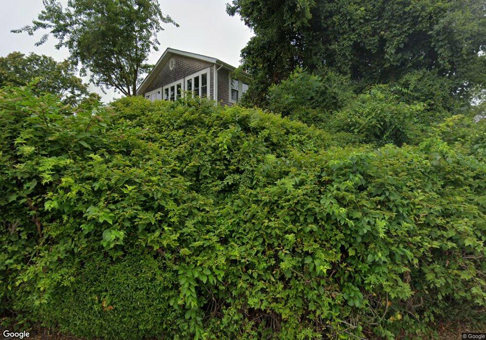
73 Westcote Dr Wakefield, RI 02879
Estimated Value: $1,627,674 - $2,080,000
3
Beds
2
Baths
1,676
Sq Ft
$1,144/Sq Ft
Est. Value
About This Home
This home is located at 73 Westcote Dr, Wakefield, RI 02879 and is currently estimated at $1,917,919, approximately $1,144 per square foot. 73 Westcote Dr is a home located in Washington County with nearby schools including South Kingstown High School.
Ownership History
Date
Name
Owned For
Owner Type
Purchase Details
Closed on
Feb 11, 2014
Sold by
Mmclaughlin James B and Mclaughlin Marie E
Bought by
Mclaughlin James B
Current Estimated Value
Home Financials for this Owner
Home Financials are based on the most recent Mortgage that was taken out on this home.
Original Mortgage
$277,000
Outstanding Balance
$210,771
Interest Rate
4.52%
Estimated Equity
$1,707,148
Purchase Details
Closed on
Oct 24, 2007
Sold by
Rlty Exch Assoc 34Th L
Bought by
Mclaughlin James B and Mclaughlin Marie M
Purchase Details
Closed on
Apr 30, 2007
Sold by
Rutigliano Joseph Richard and Rutigliano Matthew
Bought by
Realty Exchange Assoc
Create a Home Valuation Report for This Property
The Home Valuation Report is an in-depth analysis detailing your home's value as well as a comparison with similar homes in the area
Home Values in the Area
Average Home Value in this Area
Purchase History
| Date | Buyer | Sale Price | Title Company |
|---|---|---|---|
| Mclaughlin James B | -- | -- | |
| Mclaughlin James B | -- | -- | |
| Realty Exchange Assoc | $875,000 | -- |
Source: Public Records
Mortgage History
| Date | Status | Borrower | Loan Amount |
|---|---|---|---|
| Open | Realty Exchange Assoc | $277,000 | |
| Previous Owner | Realty Exchange Assoc | $316,000 | |
| Previous Owner | Realty Exchange Assoc | $247,000 |
Source: Public Records
Tax History Compared to Growth
Tax History
| Year | Tax Paid | Tax Assessment Tax Assessment Total Assessment is a certain percentage of the fair market value that is determined by local assessors to be the total taxable value of land and additions on the property. | Land | Improvement |
|---|---|---|---|---|
| 2025 | $16,245 | $1,817,100 | $1,522,300 | $294,800 |
| 2024 | $15,660 | $1,417,200 | $1,179,900 | $237,300 |
| 2023 | $15,660 | $1,417,200 | $1,179,900 | $237,300 |
| 2022 | $15,518 | $1,417,200 | $1,179,900 | $237,300 |
| 2021 | $16,483 | $1,140,700 | $966,500 | $174,200 |
| 2020 | $16,483 | $1,140,700 | $966,500 | $174,200 |
| 2019 | $16,483 | $1,140,700 | $966,500 | $174,200 |
| 2018 | $15,859 | $1,011,400 | $859,100 | $152,300 |
| 2017 | $15,485 | $1,011,400 | $859,100 | $152,300 |
| 2016 | $15,262 | $1,011,400 | $859,100 | $152,300 |
| 2015 | $14,139 | $911,000 | $784,600 | $126,400 |
| 2014 | $13,686 | $884,100 | $784,600 | $99,500 |
Source: Public Records
Map
Nearby Homes
- 23 E Matunuck Farm Dr
- 16 High Tides Ln
- 40 Wild Rose Ct
- 2139 Commodore Oliver Hazard Perry Hwy
- 76 Hartford Ave
- 689 Succotash Rd
- 691 Succotash Rd
- 14 E Pointe Ct Unit 14
- 380 Camp Fuller Rd
- 6 MacAlder St
- 1185 Succotash Rd
- 24 Peninsula Rd
- 25 Scallop Shell Rd
- 27 Holden Rd
- 854 Matunuck Beach #215 Rd
- 854 Matunuck Beach Rd
- 975 Matunuck Beach Rd
- 271 Great Island Rd
- 232 Sand Hill Cove Rd Unit 232 C
- 17 Goose Island Rd
- 115 Westcote Dr
- 50 Westcote Close
- 83 Westcote Dr
- 119 Westcote Dr
- 34 Mittendorf Rd
- 281 Succotash Rd
- 35 Mittendorf Rd
- 54 Westcote Close
- 155 Westcote Dr
- 33 Westcote Close
- 33 Westcote Close
- 0 Westcote Close
- 20 Mary Anne Ct
- 18 Mittendorf Rd
- 19 Mittendorf Rd
- 123 Succotash Rd
- 78 Windswept Dr
- 251 Succotash Rd
- 299 Succotash Rd
- 315 Succotash Rd