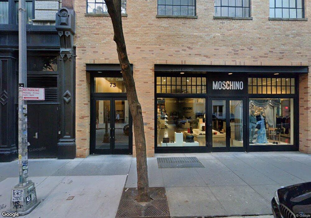
73 Wooster St Unit 2A New York, NY 10012
SoHo NeighborhoodEstimated Value: $5,705,000 - $9,039,751
--
Bed
--
Bath
4,366
Sq Ft
$1,745/Sq Ft
Est. Value
About This Home
This home is located at 73 Wooster St Unit 2A, New York, NY 10012 and is currently estimated at $7,618,688, approximately $1,745 per square foot. 73 Wooster St Unit 2A is a home located in New York County with nearby schools including P.S. 3 Charrette School, Middle School 297, and Clinton School.
Ownership History
Date
Name
Owned For
Owner Type
Purchase Details
Closed on
Sep 21, 2004
Sold by
387 West Broadway Llc and % Chelsfield 387 West Broadway Inc
Bought by
Pitman Kay U
Current Estimated Value
Home Financials for this Owner
Home Financials are based on the most recent Mortgage that was taken out on this home.
Original Mortgage
$800,000
Interest Rate
5.84%
Mortgage Type
Purchase Money Mortgage
Create a Home Valuation Report for This Property
The Home Valuation Report is an in-depth analysis detailing your home's value as well as a comparison with similar homes in the area
Home Values in the Area
Average Home Value in this Area
Purchase History
| Date | Buyer | Sale Price | Title Company |
|---|---|---|---|
| Pitman Kay U | $4,409,022 | -- | |
| Pitman Kay U | $20,365 | -- | |
| Pitman Kay U | $4,409,022 | -- |
Source: Public Records
Mortgage History
| Date | Status | Borrower | Loan Amount |
|---|---|---|---|
| Previous Owner | Pitman Kay U | $800,000 |
Source: Public Records
Tax History Compared to Growth
Tax History
| Year | Tax Paid | Tax Assessment Tax Assessment Total Assessment is a certain percentage of the fair market value that is determined by local assessors to be the total taxable value of land and additions on the property. | Land | Improvement |
|---|---|---|---|---|
| 2025 | $83,301 | $690,071 | $191,287 | $498,784 |
| 2024 | $83,301 | $666,300 | $191,287 | $475,013 |
| 2023 | $80,566 | $656,773 | $191,287 | $465,486 |
| 2022 | $63,291 | $629,407 | $191,287 | $438,120 |
| 2021 | $75,187 | $615,380 | $191,287 | $424,093 |
| 2020 | $64,651 | $681,566 | $191,287 | $490,279 |
| 2019 | $74,459 | $666,263 | $191,287 | $474,976 |
| 2018 | $68,793 | $642,990 | $191,288 | $451,702 |
| 2017 | $62,135 | $608,684 | $191,287 | $417,397 |
| 2016 | $53,228 | $532,933 | $191,287 | $341,646 |
| 2015 | $21,152 | $468,978 | $191,287 | $277,691 |
| 2014 | $21,152 | $392,466 | $191,288 | $201,178 |
Source: Public Records
Map
Nearby Homes
- 59 Wooster St Unit 3E
- 59 Wooster St Unit 3
- 393 W Broadway Unit 4WB
- 393 W Broadway Unit COMMERCIAL
- 63 Greene St Unit 4DLOFT
- 63 Greene St Unit 2E
- 63 Greene St Unit PHA
- 366 W Broadway
- 366 W Broadway Unit PH12B
- 477 Broome St Unit 53
- 165 Spring St Unit 5W
- 362 W Broadway Unit 2
- 83 Thompson St Unit 5
- 83 Thompson St Unit PH
- 57 Thompson St Unit 2B
- 100 Wooster St Unit 4
- 347 W Broadway Unit PH
- 419 W Broadway Unit 4
- 111 Wooster St Unit 4B
- 111 Wooster St Unit PHC
- 73 Wooster St Unit 4B
- 73 Wooster St Unit 4A
- 73 Wooster St Unit 3B
- 73 Wooster St Unit 3A
- 73 Wooster St Unit 2B
- 73 Wooster St Unit PH-A
- 73 Wooster St Unit 5
- 73 Wooster St Unit 3
- 73 Wooster St Unit 1
- 73 Wooster St
- 73 Wooster St Unit 2
- 73 Wooster St Unit 6
- 73 Wooster St Unit 4
- 73 Wooster St Unit PHB
- 73 Wooster St Unit 2BEAST
- 73 Wooster St Unit 3AWEST
- 81 Wooster St Unit 3
- 81 Wooster St Unit 3WO
- 81 Wooster St Unit 2WM
- 81 Wooster St