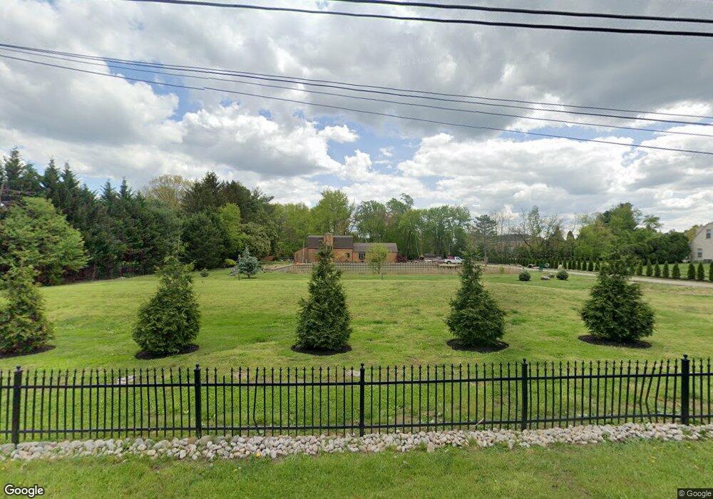
730 Cox Rd Moorestown, NJ 08057
Estimated Value: $839,707 - $1,131,000
Studio
--
Bath
3,040
Sq Ft
$322/Sq Ft
Est. Value
About This Home
This home is located at 730 Cox Rd, Moorestown, NJ 08057 and is currently estimated at $977,927, approximately $321 per square foot. 730 Cox Rd is a home located in Burlington County with nearby schools including South Valley Elementary School, Moorestown Upper Elementary School, and William Allen Middle School.
Ownership History
Date
Name
Owned For
Owner Type
Purchase Details
Closed on
May 15, 2001
Sold by
Stuffo John P and Stuffo Albert J
Bought by
Stuffo Gary C
Current Estimated Value
Home Financials for this Owner
Home Financials are based on the most recent Mortgage that was taken out on this home.
Original Mortgage
$165,000
Interest Rate
7.09%
Purchase Details
Closed on
Dec 10, 1998
Sold by
Estate Of Charles A Stuffo and Bennie John R
Bought by
Stuffo John P and Stuffo Albert J
Create a Home Valuation Report for This Property
The Home Valuation Report is an in-depth analysis detailing your home's value as well as a comparison with similar homes in the area
Home Values in the Area
Average Home Value in this Area
Purchase History
| Date | Buyer | Sale Price | Title Company |
|---|---|---|---|
| Stuffo Gary C | -- | Congress Title Corp | |
| Stuffo John P | -- | -- |
Source: Public Records
Mortgage History
| Date | Status | Borrower | Loan Amount |
|---|---|---|---|
| Closed | Stuffo Gary C | $165,000 |
Source: Public Records
Tax History
| Year | Tax Paid | Tax Assessment Tax Assessment Total Assessment is a certain percentage of the fair market value that is determined by local assessors to be the total taxable value of land and additions on the property. | Land | Improvement |
|---|---|---|---|---|
| 2025 | $14,409 | $507,900 | $249,300 | $258,600 |
| 2024 | $13,972 | $507,900 | $249,300 | $258,600 |
| 2023 | $13,972 | $507,900 | $249,300 | $258,600 |
| 2022 | $13,830 | $507,900 | $249,300 | $258,600 |
| 2021 | $13,647 | $507,900 | $249,300 | $258,600 |
| 2020 | $13,561 | $507,900 | $249,300 | $258,600 |
| 2019 | $13,322 | $507,900 | $249,300 | $258,600 |
| 2018 | $12,962 | $507,900 | $249,300 | $258,600 |
| 2017 | $13,073 | $507,900 | $249,300 | $258,600 |
| 2016 | $13,028 | $507,900 | $249,300 | $258,600 |
| 2015 | $12,870 | $507,900 | $249,300 | $258,600 |
| 2014 | $12,220 | $507,900 | $249,300 | $258,600 |
Source: Public Records
Map
Nearby Homes
- 801 Cox Rd
- 712 Kimberly Dr
- 720 Mcelwee Rd
- 901 Mcelwee Rd
- 740 Garwood Rd
- 751 Garwood Rd
- 2 Millers Run
- 265 Rosebay Ct Unit 265
- 49 Brooks Rd
- 88 Foxglove Dr Unit 88
- 4 Weatherly Rd
- 359 Creek Rd
- 44 Foxglove Dr Unit CO44
- 2 Bayberry Ln
- 121 Congressional Ct
- 115 Congressional Ct
- 27 Foxglove Dr Unit 27
- 19 Foxglove Dr Unit 19
- 950 Bortons Landing Rd
- 12 Cove Rd
Your Personal Tour Guide
Ask me questions while you tour the home.