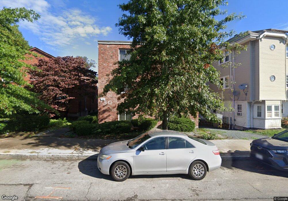
730 Cummins Hwy Unit 3 Mattapan, MA 02126
Southern Mattapan NeighborhoodEstimated Value: $290,000 - $426,000
2
Beds
1
Bath
579
Sq Ft
$576/Sq Ft
Est. Value
About This Home
This home is located at 730 Cummins Hwy Unit 3, Mattapan, MA 02126 and is currently estimated at $333,235, approximately $575 per square foot. 730 Cummins Hwy Unit 3 is a home located in Suffolk County with nearby schools including KIPP Academy Boston Charter School and Berea Seventh-day Adventist Academy.
Ownership History
Date
Name
Owned For
Owner Type
Purchase Details
Closed on
Mar 1, 1999
Sold by
Bantimba Basil B
Bought by
Mcelroy Rhonda M
Current Estimated Value
Home Financials for this Owner
Home Financials are based on the most recent Mortgage that was taken out on this home.
Original Mortgage
$38,000
Outstanding Balance
$8,829
Interest Rate
6.78%
Mortgage Type
Purchase Money Mortgage
Estimated Equity
$324,406
Create a Home Valuation Report for This Property
The Home Valuation Report is an in-depth analysis detailing your home's value as well as a comparison with similar homes in the area
Home Values in the Area
Average Home Value in this Area
Purchase History
| Date | Buyer | Sale Price | Title Company |
|---|---|---|---|
| Mcelroy Rhonda M | $40,000 | -- | |
| Mcelroy Rhonda M | $40,000 | -- |
Source: Public Records
Mortgage History
| Date | Status | Borrower | Loan Amount |
|---|---|---|---|
| Open | Mcelroy Rhonda M | $38,000 | |
| Closed | Mcelroy Rhonda M | $38,000 |
Source: Public Records
Tax History Compared to Growth
Tax History
| Year | Tax Paid | Tax Assessment Tax Assessment Total Assessment is a certain percentage of the fair market value that is determined by local assessors to be the total taxable value of land and additions on the property. | Land | Improvement |
|---|---|---|---|---|
| 2025 | $3,055 | $263,800 | $0 | $263,800 |
| 2024 | $2,966 | $272,100 | $0 | $272,100 |
| 2023 | $2,834 | $263,900 | $0 | $263,900 |
| 2022 | $2,684 | $246,700 | $0 | $246,700 |
| 2021 | $2,483 | $232,700 | $0 | $232,700 |
| 2020 | $1,654 | $156,600 | $0 | $156,600 |
| 2019 | $1,501 | $142,400 | $0 | $142,400 |
| 2018 | $1,492 | $142,400 | $0 | $142,400 |
| 2017 | $1,422 | $134,300 | $0 | $134,300 |
| 2016 | $1,434 | $130,400 | $0 | $130,400 |
| 2015 | $1,362 | $112,500 | $0 | $112,500 |
| 2014 | $1,374 | $109,200 | $0 | $109,200 |
Source: Public Records
Map
Nearby Homes
- 839-843 Cummins Hwy
- 770 Cummins Hwy Unit 1
- 770 Cummins Hwy Unit 22
- 10 Brockton St
- 231 Itasca St
- 34 Ridlon Rd
- 95 Woodhaven St
- 90 Hollingsworth St
- 179 Hebron St
- 48-50 Rockdale St
- 100 Itasca St
- 23 Caton St
- 72 Livermore St
- 20 Monterey Ave
- 265 Hebron St
- 60 and 64 Monterey Ave
- 25 Alpine St Unit 7
- 645 River St
- 7 Winborough St
- 14-14R Kennebec St
- 730 Cummins Hwy
- 730 Cummins Hwy Unit 6
- 730 Cummins Hwy Unit 5
- 730 Cummins Hwy Unit 4
- 730 Cummins Hwy Unit 2
- 730 Cummins Hwy Unit 1
- 728 Cummins Hwy Unit 8
- 728 Cummins Hwy Unit 7
- 736 Cummins Hwy
- 734 Cummins Hwy Unit 736
- 738 Cummins Hwy Unit 740
- 1-3 Corman Rd
- 13 Corman Rd
- 3 Corman Rd
- 1 Corman Rd Unit 1
- 3 Corman Rd Unit 2
- 742 Cummins Hwy Unit 744
- 4 Hallowell St
- 715 Cummins Hwy
- 711 Cummins Hwy