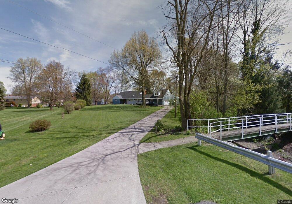
730 Grafton Rd Newark, OH 43055
Estimated Value: $362,000 - $472,650
4
Beds
2
Baths
2,684
Sq Ft
$152/Sq Ft
Est. Value
About This Home
This home is located at 730 Grafton Rd, Newark, OH 43055 and is currently estimated at $407,163, approximately $151 per square foot. 730 Grafton Rd is a home located in Licking County with nearby schools including John Clem Elementary School, Liberty Middle School, and Newark High School.
Ownership History
Date
Name
Owned For
Owner Type
Purchase Details
Closed on
Oct 4, 2004
Sold by
Tolle William and Tolle Sandra
Bought by
Sayers Ii Dan D and Sayers Sharon R
Current Estimated Value
Home Financials for this Owner
Home Financials are based on the most recent Mortgage that was taken out on this home.
Original Mortgage
$141,200
Interest Rate
5.93%
Mortgage Type
Unknown
Create a Home Valuation Report for This Property
The Home Valuation Report is an in-depth analysis detailing your home's value as well as a comparison with similar homes in the area
Home Values in the Area
Average Home Value in this Area
Purchase History
| Date | Buyer | Sale Price | Title Company |
|---|---|---|---|
| Sayers Ii Dan D | $176,500 | Ambassador Title |
Source: Public Records
Mortgage History
| Date | Status | Borrower | Loan Amount |
|---|---|---|---|
| Closed | Sayers Ii Dan D | $141,200 | |
| Closed | Sayers Ii Dan D | $26,475 |
Source: Public Records
Tax History Compared to Growth
Tax History
| Year | Tax Paid | Tax Assessment Tax Assessment Total Assessment is a certain percentage of the fair market value that is determined by local assessors to be the total taxable value of land and additions on the property. | Land | Improvement |
|---|---|---|---|---|
| 2024 | $4,341 | $121,350 | $29,160 | $92,190 |
| 2023 | $4,333 | $121,350 | $29,160 | $92,190 |
| 2022 | $3,727 | $92,960 | $17,710 | $75,250 |
| 2021 | $3,909 | $92,960 | $17,710 | $75,250 |
| 2020 | $3,997 | $92,960 | $17,710 | $75,250 |
| 2019 | $3,377 | $75,600 | $17,710 | $57,890 |
| 2018 | $3,379 | $0 | $0 | $0 |
| 2017 | $3,236 | $0 | $0 | $0 |
| 2016 | $2,830 | $0 | $0 | $0 |
| 2015 | $2,892 | $0 | $0 | $0 |
| 2014 | $3,702 | $0 | $0 | $0 |
| 2013 | $2,822 | $0 | $0 | $0 |
Source: Public Records
Map
Nearby Homes
- 370 Meadowbrook Dr
- 227 N Quentin Rd
- 440 Reverie Place
- 403 Meadowbrook Dr
- 473 Meadowbrook Dr
- 988 Mount Vernon Rd
- 52 Charles St
- 27 E Channel St
- 584 Moull St Unit A
- 1049 Sunrise Dr
- 425 N 11th St
- 74 Cherry St
- 542 Mount Vernon Rd
- 188 Meadow Dr
- 184 Meadow Dr
- 544 Hudson Ave
- 11 Waterworks Rd
- 467 Mount Vernon Rd
- 259 Goosepond Rd Unit C
- 261 Goosepond Rd Unit D
- 690 King Ave
- 747 Coventry Cir
- 678 King Ave
- 749 Coventry Cir
- 763 Plymouth Place
- 745 Coventry Cir
- 761 Plymouth Place
- 670 King Ave
- 384 Catalina Dr
- 743 Coventry Cir
- 664 King Ave
- 765 Plymouth Place
- 751 Coventry Cir
- 734 Grafton Rd
- 385 Catalina Dr
- 759 Plymouth Place
- 743 Grafton Rd
- 660 King Ave
- 741 Coventry Cir
- 759 Grafton Rd