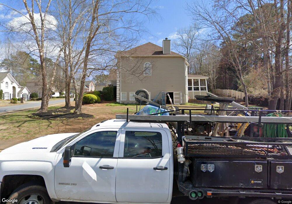
730 Heathland Dr Unit 2 Roswell, GA 30075
Union Hill NeighborhoodEstimated Value: $715,000 - $781,988
4
Beds
4
Baths
3,848
Sq Ft
$195/Sq Ft
Est. Value
About This Home
This home is located at 730 Heathland Dr Unit 2, Roswell, GA 30075 and is currently estimated at $748,494, approximately $194 per square foot. 730 Heathland Dr Unit 2 is a home located in Cherokee County with nearby schools including Arnold Mill Elementary School, Mill Creek Middle School, and River Ridge High School.
Ownership History
Date
Name
Owned For
Owner Type
Purchase Details
Closed on
Jun 23, 2014
Sold by
Korreng David W
Bought by
Korreng David W and Korreng Tina M
Current Estimated Value
Home Financials for this Owner
Home Financials are based on the most recent Mortgage that was taken out on this home.
Original Mortgage
$303,000
Outstanding Balance
$230,382
Interest Rate
4.19%
Mortgage Type
New Conventional
Estimated Equity
$518,112
Purchase Details
Closed on
Jun 26, 1995
Sold by
Centex Real Est Ate Corp
Bought by
Korreng David W Suzanne K
Create a Home Valuation Report for This Property
The Home Valuation Report is an in-depth analysis detailing your home's value as well as a comparison with similar homes in the area
Home Values in the Area
Average Home Value in this Area
Purchase History
| Date | Buyer | Sale Price | Title Company |
|---|---|---|---|
| Korreng David W | -- | -- | |
| Korreng David W Suzanne K | $238,500 | -- |
Source: Public Records
Mortgage History
| Date | Status | Borrower | Loan Amount |
|---|---|---|---|
| Open | Korreng David W | $303,000 |
Source: Public Records
Tax History Compared to Growth
Tax History
| Year | Tax Paid | Tax Assessment Tax Assessment Total Assessment is a certain percentage of the fair market value that is determined by local assessors to be the total taxable value of land and additions on the property. | Land | Improvement |
|---|---|---|---|---|
| 2024 | $2,679 | $263,324 | $52,000 | $211,324 |
| 2023 | $5,235 | $236,084 | $50,000 | $186,084 |
| 2022 | $5,536 | $226,680 | $44,000 | $182,680 |
| 2021 | $4,933 | $180,920 | $36,000 | $144,920 |
| 2020 | $4,429 | $159,040 | $36,000 | $123,040 |
| 2019 | $4,307 | $153,800 | $36,000 | $117,800 |
| 2018 | $4,368 | $155,320 | $36,000 | $119,320 |
| 2017 | $4,170 | $367,500 | $29,600 | $117,400 |
| 2016 | $4,258 | $371,400 | $29,600 | $118,960 |
| 2015 | $3,998 | $345,700 | $25,600 | $112,680 |
| 2014 | $3,695 | $319,300 | $25,600 | $102,120 |
Source: Public Records
Map
Nearby Homes
- 815 Heathland Ct
- 740 Heathland Dr
- 825 Heathland Ct
- 715 Heathland Dr
- 710 Heathland Dr
- 750 Heathland Dr Unit 2
- 3040 Foxhall Overlook
- 0 Heathland Ct Unit 7359415
- 0 Heathland Ct Unit 7220666
- 0 Heathland Ct Unit 7110346
- 0 Heathland Ct Unit 7059901
- 0 Heathland Ct Unit 8686325
- 0 Heathland Ct Unit 8533935
- 0 Heathland Ct Unit 8344496
- 0 Heathland Ct Unit 7627946
- 0 Heathland Ct Unit 3233756
- 0 Heathland Ct Unit 8271226
- 0 Heathland Ct Unit 7629752
- 0 Heathland Ct Unit 3158907
- 0 Heathland Ct Unit 2991079