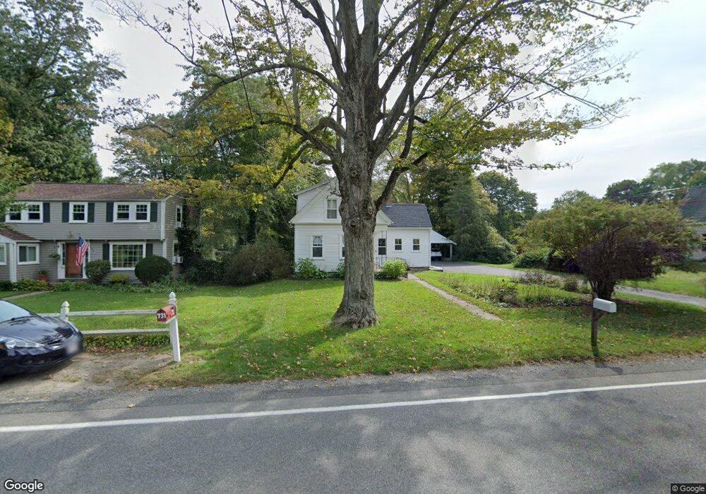
730 High St Hanson, MA 02341
Estimated Value: $507,991 - $583,000
3
Beds
2
Baths
1,274
Sq Ft
$437/Sq Ft
Est. Value
About This Home
This home is located at 730 High St, Hanson, MA 02341 and is currently estimated at $556,748, approximately $437 per square foot. 730 High St is a home located in Plymouth County.
Ownership History
Date
Name
Owned For
Owner Type
Purchase Details
Closed on
Aug 28, 2007
Sold by
M&N Prop Llc and Neuby Angelo
Bought by
Santini Laurel and Santini John
Current Estimated Value
Purchase Details
Closed on
May 24, 2006
Sold by
Hennigan Irene and Frosell Judith L
Bought by
M&N Prop Llc
Create a Home Valuation Report for This Property
The Home Valuation Report is an in-depth analysis detailing your home's value as well as a comparison with similar homes in the area
Home Values in the Area
Average Home Value in this Area
Purchase History
| Date | Buyer | Sale Price | Title Company |
|---|---|---|---|
| Santini Laurel | $326,500 | -- | |
| M&N Prop Llc | $205,000 | -- |
Source: Public Records
Mortgage History
| Date | Status | Borrower | Loan Amount |
|---|---|---|---|
| Open | M&N Prop Llc | $208,000 | |
| Closed | M&N Prop Llc | $210,000 | |
| Closed | M&N Prop Llc | $213,000 | |
| Closed | M&N Prop Llc | $213,500 |
Source: Public Records
Map
Nearby Homes
- Lot 6 Way
- 161 Winter St Unit 11
- 84 Liberty St
- 26 Stonebridge Dr
- Lot 5 Princeton Way
- 80 Phillips St
- 72 Phillips St
- 134 Crescent St
- 168 Spring St
- 1054 Main St
- 724 Whitman St
- 269 Lakeside Rd
- 139 Fairwood Dr
- 430 Brook Bend Rd
- 26 Franklin St
- 126-130 Franklin St
- 23 Live Oak Way
- 1754 Central St
- 22 Howland Trail Unit 34
- 17 Hayford Trail Unit 12
Your Personal Tour Guide
Ask me questions while you tour the home.