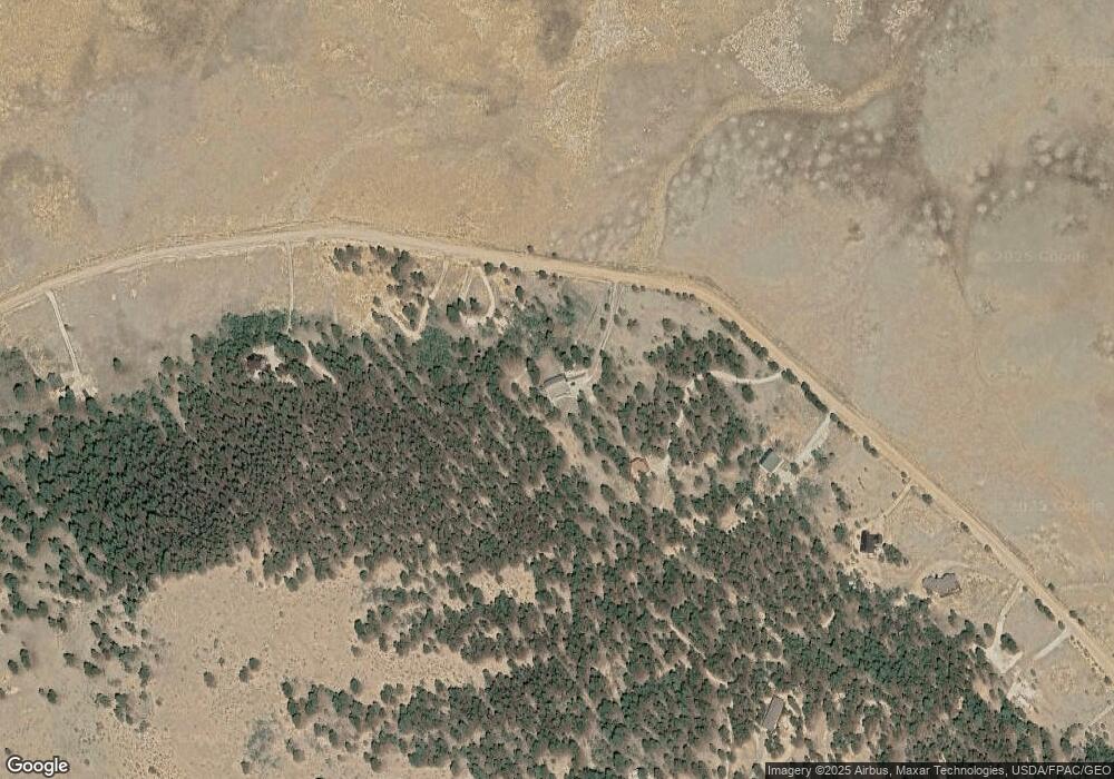
730 Lariat Loop Hartsel, CO 80449
Estimated Value: $538,387 - $659,000
3
Beds
2
Baths
1,948
Sq Ft
$302/Sq Ft
Est. Value
About This Home
This home is located at 730 Lariat Loop, Hartsel, CO 80449 and is currently estimated at $587,597, approximately $301 per square foot. 730 Lariat Loop is a home located in Park County with nearby schools including Edith Teter Elementary School, South Park Middle School, and South Park High School.
Ownership History
Date
Name
Owned For
Owner Type
Purchase Details
Closed on
Jul 25, 2019
Sold by
Robertson Max Dale and Robertson Sharon Daniel
Bought by
Grothe Glenn K and Grothe Ann M
Current Estimated Value
Purchase Details
Closed on
Sep 14, 2009
Sold by
Timmons Barry R and Timmons Jean M
Bought by
Robertson Max Dale and Robertson Sharon Daniel
Home Financials for this Owner
Home Financials are based on the most recent Mortgage that was taken out on this home.
Original Mortgage
$220,000
Interest Rate
5.26%
Mortgage Type
New Conventional
Create a Home Valuation Report for This Property
The Home Valuation Report is an in-depth analysis detailing your home's value as well as a comparison with similar homes in the area
Home Values in the Area
Average Home Value in this Area
Purchase History
| Date | Buyer | Sale Price | Title Company |
|---|---|---|---|
| Grothe Glenn K | $400,000 | Fidelity National Title | |
| Robertson Max Dale | $292,500 | Security Title |
Source: Public Records
Mortgage History
| Date | Status | Borrower | Loan Amount |
|---|---|---|---|
| Previous Owner | Robertson Max Dale | $220,000 |
Source: Public Records
Tax History Compared to Growth
Tax History
| Year | Tax Paid | Tax Assessment Tax Assessment Total Assessment is a certain percentage of the fair market value that is determined by local assessors to be the total taxable value of land and additions on the property. | Land | Improvement |
|---|---|---|---|---|
| 2024 | $1,410 | $26,930 | $4,070 | $22,860 |
| 2023 | $1,410 | $26,930 | $4,070 | $22,860 |
| 2022 | $1,536 | $26,388 | $3,822 | $22,566 |
| 2021 | $1,534 | $27,150 | $3,930 | $23,220 |
| 2020 | $1,161 | $19,960 | $2,350 | $17,610 |
| 2019 | $1,124 | $19,960 | $2,350 | $17,610 |
| 2018 | $1,111 | $19,960 | $2,350 | $17,610 |
| 2017 | $992 | $19,270 | $2,420 | $16,850 |
| 2016 | $1,004 | $19,230 | $2,550 | $16,680 |
| 2015 | $1,025 | $19,230 | $2,550 | $16,680 |
| 2014 | $1,176 | $0 | $0 | $0 |
Source: Public Records
Map
Nearby Homes
- 311 Harness Way
- 97 Chap Way Unit 215
- 436 Hay Hook Way
- 120 Harness Way Unit 222
- 565 Hay Hook Way Unit 249
- 519 Hay Hook Way Unit 250
- 1300 Bridle Path
- 0 County Road 118 Unit S1058023
- 0 County Road 118 Unit 3 REC4545301
- 788 Wagon Wheel Rd Unit 267
- 1559 Wagon Wheel Rd
- 2146 Wagon Wheel Rd Unit 353
- 1198 Wagon Wheel Rd
- 5113 Campfire Rd
- 4213 Campfire Rd Unit 778
- 203 Loft Way
- 539 Tapedero Rd Unit 600
- 1439 Bellows Rd
- 1439 Bellows Rd Unit 1461
- 702 Bellows Rd
