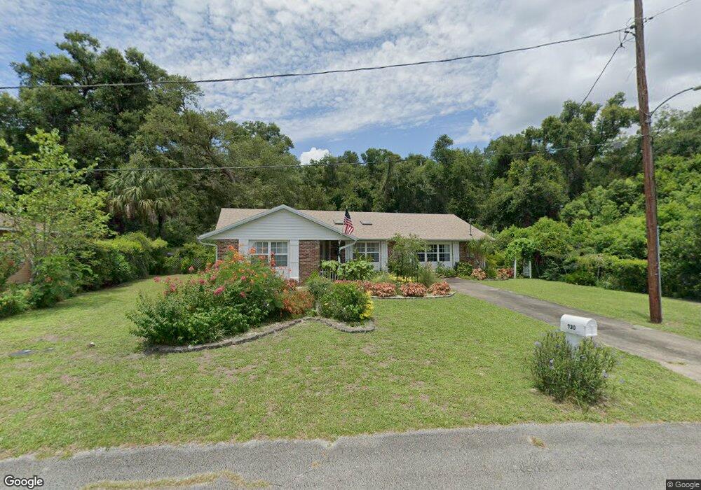
730 N High St Deland, FL 32720
Estimated Value: $280,057 - $336,000
3
Beds
2
Baths
1,581
Sq Ft
$188/Sq Ft
Est. Value
About This Home
This home is located at 730 N High St, Deland, FL 32720 and is currently estimated at $298,014, approximately $188 per square foot. 730 N High St is a home located in Volusia County with nearby schools including Citrus Grove Elementary, Deland High School, and Southwestern Middle School.
Ownership History
Date
Name
Owned For
Owner Type
Purchase Details
Closed on
Aug 13, 1999
Sold by
Butler Dennis
Bought by
Belonick Robert M and Belonick Linda L
Current Estimated Value
Home Financials for this Owner
Home Financials are based on the most recent Mortgage that was taken out on this home.
Original Mortgage
$30,000
Outstanding Balance
$8,621
Interest Rate
7.65%
Mortgage Type
Purchase Money Mortgage
Estimated Equity
$289,393
Purchase Details
Closed on
Sep 15, 1973
Bought by
Belonick Robert M and Belonick Linda L
Create a Home Valuation Report for This Property
The Home Valuation Report is an in-depth analysis detailing your home's value as well as a comparison with similar homes in the area
Home Values in the Area
Average Home Value in this Area
Purchase History
| Date | Buyer | Sale Price | Title Company |
|---|---|---|---|
| Belonick Robert M | $77,900 | -- | |
| Belonick Robert M | $26,500 | -- |
Source: Public Records
Mortgage History
| Date | Status | Borrower | Loan Amount |
|---|---|---|---|
| Open | Belonick Robert M | $30,000 |
Source: Public Records
Tax History Compared to Growth
Tax History
| Year | Tax Paid | Tax Assessment Tax Assessment Total Assessment is a certain percentage of the fair market value that is determined by local assessors to be the total taxable value of land and additions on the property. | Land | Improvement |
|---|---|---|---|---|
| 2025 | $701 | $84,970 | -- | -- |
| 2024 | $701 | $82,576 | -- | -- |
| 2023 | $701 | $80,171 | $0 | $0 |
| 2022 | $668 | $77,836 | $0 | $0 |
| 2021 | $670 | $75,569 | $0 | $0 |
| 2020 | $660 | $74,526 | $0 | $0 |
| 2019 | $679 | $72,850 | $0 | $0 |
| 2018 | $698 | $71,492 | $0 | $0 |
| 2017 | $714 | $70,022 | $0 | $0 |
| 2016 | $701 | $68,582 | $0 | $0 |
| 2015 | $723 | $68,105 | $0 | $0 |
| 2014 | $736 | $67,564 | $0 | $0 |
Source: Public Records
Map
Nearby Homes
- 718 W Hogle Ave
- 0 W Plymouth Ave
- 727 N Stone St
- 748 W Florence Ave
- 600 N Boundary Ave Unit 119B
- 600 N Boundary Ave Unit 106-D
- 600 N Boundary Ave Unit 114-C
- 600 N Boundary Ave Unit 114B
- 600 N Boundary Ave Unit 110A
- 600 W Hogle Ave
- 733 Maple Oak Dr
- 1669 N Stone St
- 0 N Stone St
- 1675 N Stone St
- Malory Plan at Delaney Reserve
- Abbey Plan at Delaney Reserve
- 710 Florida Elm Ct
- 706 Florida Elm Ct
- 702 Florida Elm Ct
- 698 Florida Elm Ct
- 722 N High St
- 830 W Oakdale Ave
- 723 N High St
- 836 W Plymouth Ave
- 720 N High St
- 803 W Hogle Ave
- 736 W Oakdale Ave
- 739 W Hogle Ave
- 734 W Oakdale Ave
- 809 W Hogle Ave
- 820 W Oakdale Ave
- 731 W Hogle Ave
- 720 W Oakdale Ave
- 800 W Hogle Ave
- 810 W Hogle Ave
- 727 W Hogle Ave
- 830 W Hogle Ave
- 738 W Hogle Ave
- 840 W Plymouth Ave
- 840 W Hogle Ave